Estimated Value: $310,000 - $348,000
3
Beds
2
Baths
1,606
Sq Ft
$203/Sq Ft
Est. Value
About This Home
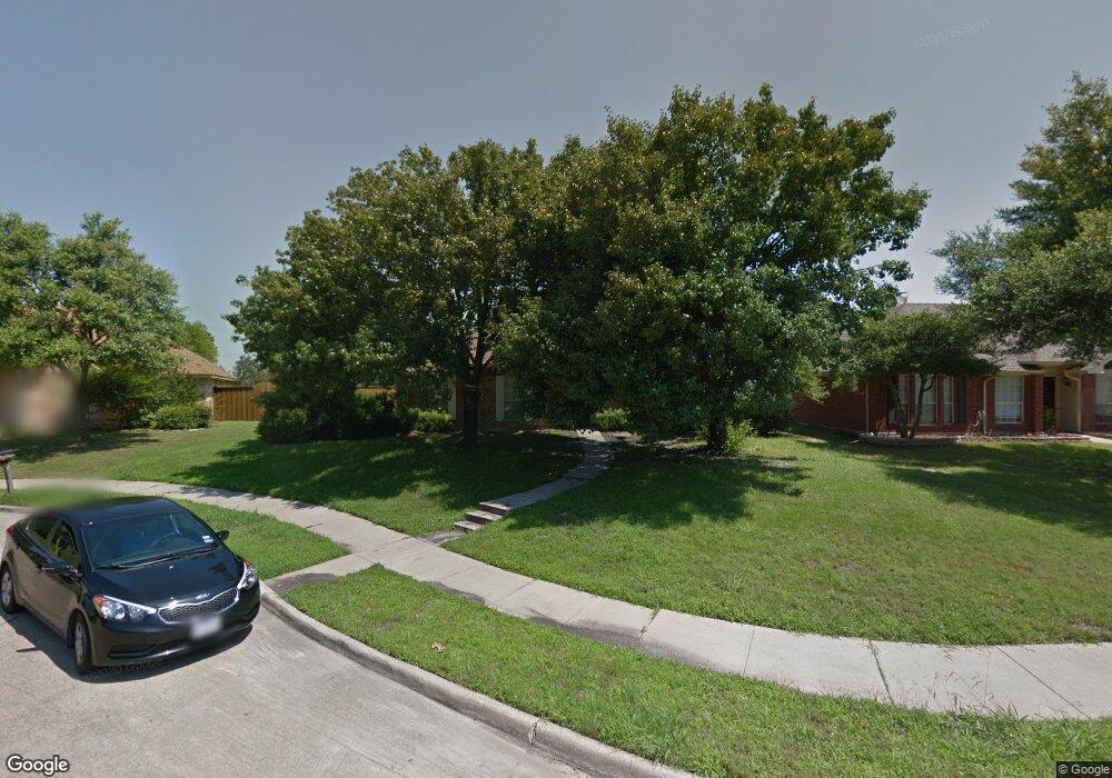
This home is located at 1101 Sheppard Ln, Wylie, TX 75098 and is currently estimated at $326,404, approximately $203 per square foot. 1101 Sheppard Ln is a home located in Collin County with nearby schools including P M Akin Elementary School, AB Harrison Intermediate School, and Grady Burnett J High School.
Ownership History
Date
Name
Owned For
Owner Type
Purchase Details
Closed on
Mar 28, 1996
Sold by
Morgan David W
Bought by
Massie Gregory D and Massie Lorraine
Current Estimated Value
Home Financials for this Owner
Home Financials are based on the most recent Mortgage that was taken out on this home.
Original Mortgage
$88,230
Outstanding Balance
$4,361
Interest Rate
7.87%
Mortgage Type
VA
Estimated Equity
$322,043
Create a Home Valuation Report for This Property
The Home Valuation Report is an in-depth analysis detailing your home's value as well as a comparison with similar homes in the area
Home Values in the Area
Average Home Value in this Area
Purchase History
| Date | Buyer | Sale Price | Title Company |
|---|---|---|---|
| Massie Gregory D | -- | -- |
Source: Public Records
Mortgage History
| Date | Status | Borrower | Loan Amount |
|---|---|---|---|
| Open | Massie Gregory D | $88,230 |
Source: Public Records
Tax History Compared to Growth
Tax History
| Year | Tax Paid | Tax Assessment Tax Assessment Total Assessment is a certain percentage of the fair market value that is determined by local assessors to be the total taxable value of land and additions on the property. | Land | Improvement |
|---|---|---|---|---|
| 2025 | $4,632 | $311,745 | $85,000 | $226,745 |
| 2024 | $4,632 | $299,866 | $85,000 | $254,004 |
| 2023 | $4,632 | $272,605 | $85,000 | $231,958 |
| 2022 | $5,437 | $247,823 | $70,000 | $211,680 |
| 2021 | $5,301 | $225,294 | $55,000 | $170,294 |
| 2020 | $5,463 | $220,778 | $45,000 | $175,778 |
| 2019 | $5,256 | $200,010 | $45,000 | $171,617 |
| 2018 | $4,897 | $181,827 | $45,000 | $169,841 |
| 2017 | $4,452 | $176,301 | $40,000 | $136,301 |
| 2016 | $4,175 | $167,528 | $30,000 | $137,528 |
| 2015 | $3,261 | $150,645 | $30,000 | $120,645 |
Source: Public Records
Map
Nearby Homes
- 1312 Wyndham Dr
- 1308 London Dr
- 107 Windy Knoll Ln
- 213 N West A Allen Blvd
- 1056 Fairview Dr
- 702 Lynda Ln
- 702 Ireland Way
- 700 Ireland Way
- 704 Ireland Way
- 310 Hawthorn Dr
- 2801-3 N State Highway 78
- 2801-1 N State Highway 78
- 304 Hawthorn Dr
- 207 Gatwick Ct
- 1209 Surrey Cir
- 1115 Nighthawk Dr
- 312 Maltese Cir
- 209 Duck Blind Ave
- 306 Foxwood Ct
- 409 Cedar Ridge Dr
- 1103 Sheppard Ln
- 215 Yorkshire Ln
- 1105 Sheppard Ln
- 213 Yorkshire Ln
- 1100 Sheppard Ln
- 1107 Sheppard Ln
- 211 Yorkshire Ln
- 1102 Sheppard Ln
- 1104 Sheppard Ln
- 209 Yorkshire Ln
- 1109 Sheppard Ln
- 1106 Sheppard Ln
- 1111 Sheppard Ln
- 1101 Old Knoll Dr
- 207 Yorkshire Ln
- 1103 Old Knoll Dr
- 1105 Old Knoll Dr
- 1110 Sheppard Ln
- 1113 Sheppard Ln
- 1107 Old Knoll Dr