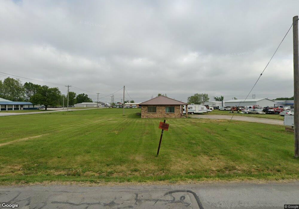
1101 Sinnock Ave Moberly, MO 65270
Estimated Value: $132,000 - $203,000
Studio
--
Bath
1,200
Sq Ft
$131/Sq Ft
Est. Value
About This Home
This home is located at 1101 Sinnock Ave, Moberly, MO 65270 and is currently estimated at $157,399, approximately $131 per square foot. 1101 Sinnock Ave is a home with nearby schools including Moberly Senior High School, St. Pius X. Catholic School, and Maranatha Seventh-day Adventist School.
Ownership History
Date
Name
Owned For
Owner Type
Purchase Details
Closed on
Nov 30, 2023
Sold by
Don Thomas & Sons Inc
Bought by
Moi Moberly Prop Llc
Current Estimated Value
Home Financials for this Owner
Home Financials are based on the most recent Mortgage that was taken out on this home.
Original Mortgage
$3,020,000
Outstanding Balance
$2,642,696
Interest Rate
7.63%
Mortgage Type
New Conventional
Estimated Equity
-$2,485,297
Create a Home Valuation Report for This Property
The Home Valuation Report is an in-depth analysis detailing your home's value as well as a comparison with similar homes in the area
Home Values in the Area
Average Home Value in this Area
Purchase History
| Date | Buyer | Sale Price | Title Company |
|---|---|---|---|
| Moi Moberly Prop Llc | -- | None Listed On Document |
Source: Public Records
Mortgage History
| Date | Status | Borrower | Loan Amount |
|---|---|---|---|
| Open | Moi Moberly Prop Llc | $3,020,000 |
Source: Public Records
Tax History
| Year | Tax Paid | Tax Assessment Tax Assessment Total Assessment is a certain percentage of the fair market value that is determined by local assessors to be the total taxable value of land and additions on the property. | Land | Improvement |
|---|---|---|---|---|
| 2025 | $962 | $14,170 | $1,740 | $12,430 |
| 2024 | $10 | $13,210 | $1,521 | $11,689 |
| 2023 | $977 | $13,210 | $1,521 | $11,689 |
| 2022 | $911 | $12,650 | $1,520 | $11,130 |
| 2020 | $910 | $12,650 | $1,520 | $11,130 |
| 2019 | $1,493 | $20,440 | $3,698 | $16,742 |
| 2018 | $1,488 | $20,440 | $3,698 | $16,742 |
| 2017 | $1,485 | $20,440 | $0 | $0 |
| 2016 | $1,477 | $20,440 | $0 | $0 |
| 2014 | -- | $20,440 | $0 | $0 |
| 2013 | -- | $20,440 | $0 | $0 |
| 2012 | -- | $19,410 | $0 | $0 |
Source: Public Records
Map
Nearby Homes
- Lot 11 Stonebridge Lane (Plat 2)
- Lot 10 Stonebridge Lane (Plat 2)
- 0 Highway 63
- 609 Franklin Ave
- 619 Madison Ave
- 523 Morehead St
- 512 Chandler St
- 537 Fulton Ave
- 722 Vincil St
- 703 Taylor St
- 1102 N Morley St
- 712 Farror St
- 319 Union Ave
- 321 Farror St
- 409 Barrow St
- 204 Bertley St
- 812 N Moulton St
- 216 Lotter St
- 628 Woodland Ave
- 2003 County Road 1740
- 1111 Sinnock Ave
- 1028 Sinnock Ave
- 1028 Sinnock Ave Unit 37
- 1028 Sinnock Ave Unit 39
- 1105 Gillan Rd
- 1019 Sinnock Ave
- 1017 Sinnock Ave
- 1008 Cobblestone Ct
- 1104 Stonebridge Ln
- 1123 Gillan Rd
- 1211 W Outer Rd
- 1201 Cobblestone Ct
- 0 Sinnock Ave
- 0 Stonebridge Ln
- 1109 Stonebridge Ln
- 1000 Sinnock Ave
- 1117 Stonebridge Ln
- 1121 Stonebridge Ln
- 911 Sinnock Ave
- 920 Sinnock Ave
Your Personal Tour Guide
Ask me questions while you tour the home.