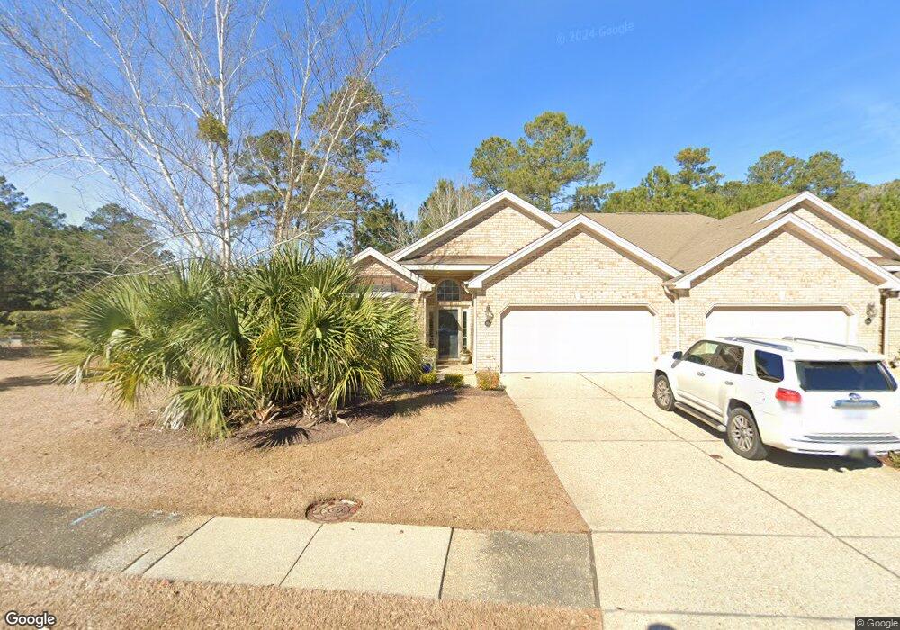
1101 Springfield Dr Leland, NC 28451
Estimated Value: $362,000 - $412,000
3
Beds
2
Baths
1,958
Sq Ft
$198/Sq Ft
Est. Value
About This Home
This home is located at 1101 Springfield Dr, Leland, NC 28451 and is currently estimated at $388,331, approximately $198 per square foot. 1101 Springfield Dr is a home located in Brunswick County with nearby schools including Town Creek Elementary School, North Brunswick High School, and Classical Charter Schools of Leland.
Ownership History
Date
Name
Owned For
Owner Type
Purchase Details
Closed on
Jun 13, 2007
Sold by
Hearthside Builders Inc
Bought by
Marks Donald M and Marks Joyce E
Current Estimated Value
Home Financials for this Owner
Home Financials are based on the most recent Mortgage that was taken out on this home.
Original Mortgage
$196,750
Outstanding Balance
$125,576
Interest Rate
7%
Mortgage Type
Adjustable Rate Mortgage/ARM
Estimated Equity
$262,755
Create a Home Valuation Report for This Property
The Home Valuation Report is an in-depth analysis detailing your home's value as well as a comparison with similar homes in the area
Home Values in the Area
Average Home Value in this Area
Purchase History
| Date | Buyer | Sale Price | Title Company |
|---|---|---|---|
| Marks Donald M | $2,190,000 | None Available |
Source: Public Records
Mortgage History
| Date | Status | Borrower | Loan Amount |
|---|---|---|---|
| Open | Marks Donald M | $196,750 |
Source: Public Records
Tax History Compared to Growth
Tax History
| Year | Tax Paid | Tax Assessment Tax Assessment Total Assessment is a certain percentage of the fair market value that is determined by local assessors to be the total taxable value of land and additions on the property. | Land | Improvement |
|---|---|---|---|---|
| 2025 | $2,493 | $374,740 | $100,000 | $274,740 |
| 2024 | $2,493 | $374,740 | $100,000 | $274,740 |
| 2023 | $1,929 | $374,740 | $100,000 | $274,740 |
| 2022 | $1,929 | $240,020 | $85,000 | $155,020 |
| 2021 | $1,929 | $240,020 | $85,000 | $155,020 |
| 2020 | $1,833 | $240,020 | $85,000 | $155,020 |
| 2019 | $1,818 | $86,280 | $85,000 | $1,280 |
| 2018 | $1,650 | $46,520 | $45,000 | $1,520 |
| 2017 | $1,650 | $46,520 | $45,000 | $1,520 |
| 2016 | $1,566 | $46,520 | $45,000 | $1,520 |
| 2015 | $1,496 | $219,360 | $45,000 | $174,360 |
| 2014 | $1,399 | $218,750 | $40,000 | $178,750 |
Source: Public Records
Map
Nearby Homes
- 1101 Jamesford Ct
- 2172 Villamar Dr
- 2170 Talmage Dr
- 1177 Lillibridge Dr
- 2143 Villamar Dr
- 2129 Talmage Dr
- 2123 Talmage Dr
- 1105 Charlton Way
- 2115 Villamar Dr
- 2244 Villamar Dr
- 2019 Annsdale Dr N
- 1127 Walbury Ct
- 1108 Walbury Ct
- 5015 Meadow Buttercup Ct Unit 204
- 5027 Meadow Buttercup Ct Unit 207
- 2664 Silverweed Ct Unit 120
- 3729 Anslow Dr
- 2672 Silverweed Ct Unit 118
- 5225 National Garden Trail
- 5047 Meadow Buttercup Ct Unit 212g
- 1103 Springfield Dr
- 1105 Springfield Dr
- 1127 Foxbow Cove
- 1107 Springfield Dr
- 1104 Springfield Dr
- 1102 Springfield Dr
- 1102 Jamesford Ct
- 1109 Springfield Dr
- 1125 Foxbow Cove
- 1104 Jamesford Ct
- 1111 Springfield Dr
- 1123 Foxbow Cove
- 1113 Springfield Dr
- 2624 Vickery Cove
- 2620 Vickery Cove
- 1115 Springfield Dr
- 2632 Vickery Cove
- 1108 Jamesford Ct
- 1121 Foxbow Cove
- 2616 Vickery Cove