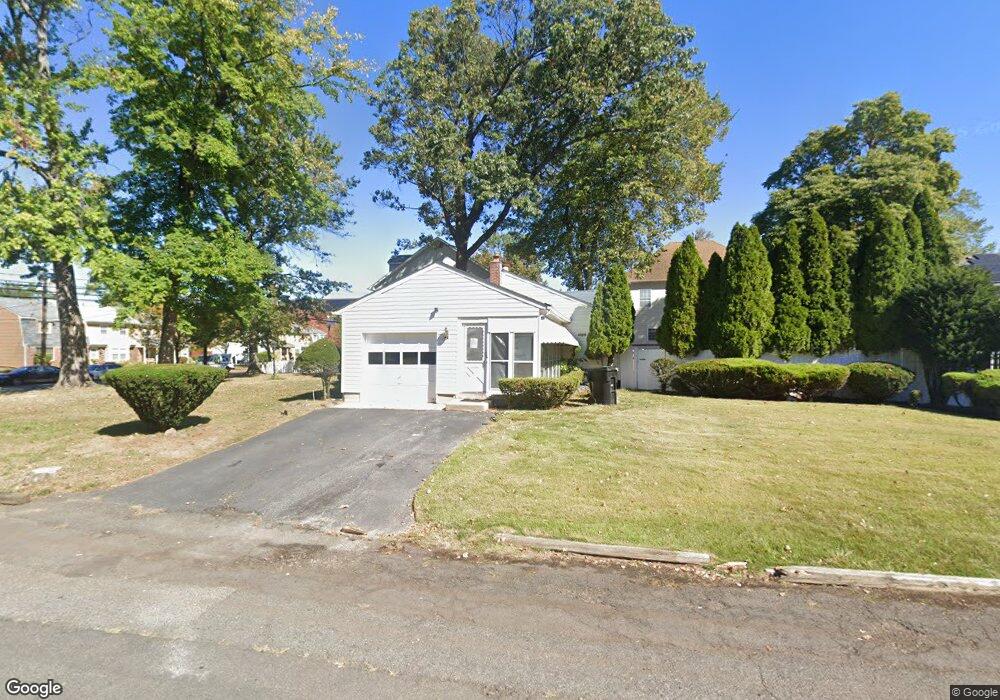
1101 W 7th St Unit 5 Plainfield, NJ 07063
Estimated Value: $344,000 - $504,000
Studio
--
Bath
1,026
Sq Ft
$417/Sq Ft
Est. Value
About This Home
This home is located at 1101 W 7th St Unit 5, Plainfield, NJ 07063 and is currently estimated at $428,330, approximately $417 per square foot. 1101 W 7th St Unit 5 is a home located in Union County with nearby schools including Clinton School, Hubbard Middle School, and Plainfield High School.
Ownership History
Date
Name
Owned For
Owner Type
Purchase Details
Closed on
Oct 16, 2025
Sold by
Oxford Rochester
Bought by
Rochester Oxford Revocable Living Trust and Oxford
Current Estimated Value
Purchase Details
Closed on
Oct 30, 1998
Sold by
Hayes John T and Hayes Evelyn
Bought by
Oxford Rochester
Home Financials for this Owner
Home Financials are based on the most recent Mortgage that was taken out on this home.
Original Mortgage
$119,700
Interest Rate
6.85%
Create a Home Valuation Report for This Property
The Home Valuation Report is an in-depth analysis detailing your home's value as well as a comparison with similar homes in the area
Home Values in the Area
Average Home Value in this Area
Purchase History
| Date | Buyer | Sale Price | Title Company |
|---|---|---|---|
| Rochester Oxford Revocable Living Trust | -- | None Listed On Document | |
| Oxford Rochester | $133,000 | Old Republic Natl Title Ins |
Source: Public Records
Mortgage History
| Date | Status | Borrower | Loan Amount |
|---|---|---|---|
| Previous Owner | Oxford Rochester | $119,700 |
Source: Public Records
Tax History
| Year | Tax Paid | Tax Assessment Tax Assessment Total Assessment is a certain percentage of the fair market value that is determined by local assessors to be the total taxable value of land and additions on the property. | Land | Improvement |
|---|---|---|---|---|
| 2025 | $11,229 | $128,600 | $57,200 | $71,400 |
| 2024 | $11,119 | $128,600 | $57,200 | $71,400 |
| 2023 | $11,119 | $128,600 | $57,200 | $71,400 |
| 2022 | $10,878 | $128,600 | $57,200 | $71,400 |
| 2021 | $10,783 | $128,600 | $57,200 | $71,400 |
| 2020 | $10,752 | $128,600 | $57,200 | $71,400 |
| 2019 | $10,752 | $128,600 | $57,200 | $71,400 |
| 2018 | $10,527 | $128,600 | $57,200 | $71,400 |
| 2017 | $10,270 | $128,600 | $57,200 | $71,400 |
| 2016 | $10,060 | $128,600 | $57,200 | $71,400 |
| 2015 | $9,763 | $128,600 | $57,200 | $71,400 |
| 2014 | $9,498 | $128,600 | $57,200 | $71,400 |
Source: Public Records
Map
Nearby Homes
- 962-64 W 6th St
- 1028 W 5th St
- 950 W 6th St Unit 52
- 355 Bergen St
- 1315 W 6th St
- 954 W 4th St
- 325 Manson Place Unit 27
- 318-20 Manson Place
- 4 Rauer Ct
- 312 Monroe Ave Unit 14
- 139 Palmer Ave
- 318 Halsey St Unit 20
- 525 Trinity St
- 820 W 8th St Unit 22
- 901 Sherman Ave Unit 11
- 320 Lee Place
- 1408 W 5th St
- 667 S 2nd St
- 1204 W 3rd St Unit 6
- 219 Stebbins Place
- 1045 W 7th St Unit 49
- 711-19 Elaine Ct Unit 1
- 711 Elaine Ct Unit 19
- 1117 W 7th St Unit 21
- 712 Shiloh Ct
- 726-30 Shiloh Ct
- 718-24 Shiloh Ct
- 712-16 Shiloh Ct
- 1038 W 7th St 6
- 1038 W 7th St 9
- 1038 W 7th St 5
- 710 Elaine Ct Unit 18
- 1038 W 7th St Unit 12
- 1038 W 7th St Unit 14
- 1038 W 7th St
- 1038 W 7th St Unit 1
- 1038 W 7th St Unit 18
- 1038 W 7th St Unit 19
- 1038 W 7th St Unit 22
- 1038-52 W 7th St Unit 19
Your Personal Tour Guide
Ask me questions while you tour the home.