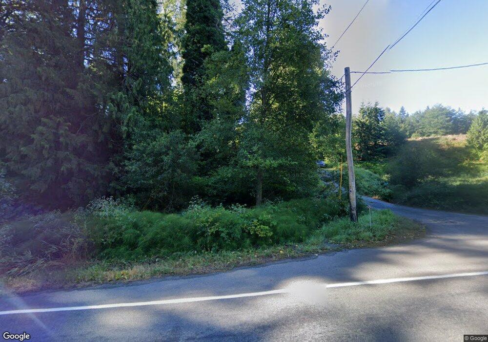
11010 Bunk Foss Rd Snohomish, WA 98290
Bunk Foss NeighborhoodEstimated Value: $553,000 - $901,000
3
Beds
1
Bath
1,432
Sq Ft
$476/Sq Ft
Est. Value
About This Home
This home is located at 11010 Bunk Foss Rd, Snohomish, WA 98290 and is currently estimated at $681,804, approximately $476 per square foot. 11010 Bunk Foss Rd is a home located in Snohomish County with nearby schools including Cascade View Elementary School, Centennial Middle School, and Snohomish High School.
Ownership History
Date
Name
Owned For
Owner Type
Purchase Details
Closed on
Dec 27, 2006
Sold by
Terry Darren
Bought by
Roberts Michael Lee
Current Estimated Value
Home Financials for this Owner
Home Financials are based on the most recent Mortgage that was taken out on this home.
Original Mortgage
$282,250
Outstanding Balance
$172,487
Interest Rate
6.62%
Mortgage Type
Purchase Money Mortgage
Estimated Equity
$509,317
Purchase Details
Closed on
Oct 13, 2005
Sold by
Fosse Richard Neil
Bought by
Estate Of Janice Marie Lytle
Create a Home Valuation Report for This Property
The Home Valuation Report is an in-depth analysis detailing your home's value as well as a comparison with similar homes in the area
Home Values in the Area
Average Home Value in this Area
Purchase History
| Date | Buyer | Sale Price | Title Company |
|---|---|---|---|
| Roberts Michael Lee | $282,250 | None Available | |
| Estate Of Janice Marie Lytle | -- | None Available |
Source: Public Records
Mortgage History
| Date | Status | Borrower | Loan Amount |
|---|---|---|---|
| Open | Roberts Michael Lee | $282,250 |
Source: Public Records
Tax History Compared to Growth
Tax History
| Year | Tax Paid | Tax Assessment Tax Assessment Total Assessment is a certain percentage of the fair market value that is determined by local assessors to be the total taxable value of land and additions on the property. | Land | Improvement |
|---|---|---|---|---|
| 2025 | $3,479 | $392,600 | $299,600 | $93,000 |
| 2024 | $3,479 | $333,900 | $243,700 | $90,200 |
| 2023 | $4,008 | $430,600 | $275,900 | $154,700 |
| 2022 | $3,784 | $329,000 | $202,300 | $126,700 |
| 2020 | $3,403 | $274,200 | $188,500 | $85,700 |
| 2019 | $3,037 | $250,200 | $169,500 | $80,700 |
| 2018 | $3,216 | $222,600 | $144,400 | $78,200 |
| 2017 | $2,722 | $189,900 | $116,800 | $73,100 |
| 2016 | $2,588 | $174,500 | $103,800 | $70,700 |
| 2015 | $2,642 | $170,600 | $96,000 | $74,600 |
| 2013 | $2,233 | $137,600 | $52,800 | $84,800 |
Source: Public Records
Map
Nearby Homes
- 4511 109th Ave SE
- 10419 46th Place SE
- 4132 113th Ave SE
- 1400 30th St SE
- 5511 96th Dr SE
- 5418 96th Dr SE
- 4931 125th Ave SE
- 1721 Moran Ave Unit 31
- 1720 Moran Ave Unit 4
- 0 Lot 1 Lake Ave
- 1713 Noble Ave Unit 76
- 3710 101st Ave SE
- 1830 23rd St
- 1900 Weaver Rd Unit L102
- 1900 Weaver Rd Unit F102
- 3431 97th Dr SE
- 3129 115th Ave SE
- 1310 Maple Ave
- 1305 Lake View Ave
- 13423 54th St SE
- 10525 New Bunk Foss Rd
- 10511 New Bunk Foss Rd
- 11100 Bunk Foss Rd
- 11011 Bunk Foss Rd
- 5109 109th Ave SE
- 11101 Bunk Foss Rd
- 5015 109th Ave SE
- 11223 Bunk Foss Rd
- 11217 Bunk Foss Rd
- 5026 109th Ave SE
- 4903 109th Ave SE
- 5117 113th Ave SE Unit 1
- 5013 113th Ave SE
- 11306 52nd St SE
- 10733 Bunk Foss Rd
- 4913 109th Ave SE
- 5012 109th Ave SE
- 5111 113th Ave SE
- 11107 Bunk Foss Rd
- 4832 113th Ave SE
