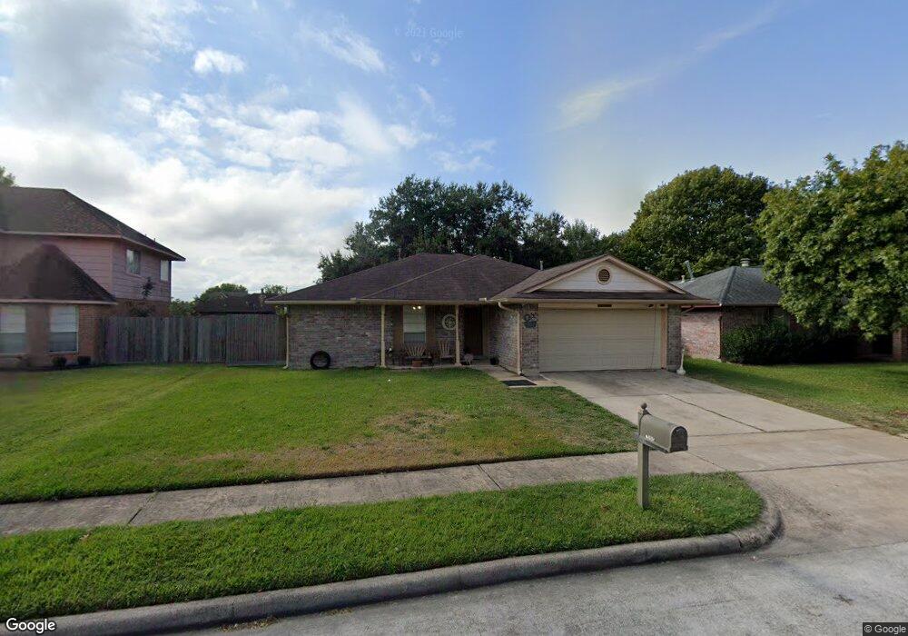
11010 Lettie Ct Houston, TX 77075
Southbelt-Ellington NeighborhoodEstimated Value: $251,776 - $271,000
3
Beds
2
Baths
1,568
Sq Ft
$164/Sq Ft
Est. Value
About This Home
This home is located at 11010 Lettie Ct, Houston, TX 77075 and is currently estimated at $257,694, approximately $164 per square foot. 11010 Lettie Ct is a home located in Harris County with nearby schools including Atkinson Elementary School, Morris Middle School, and Beverly Hill Intermediate School.
Ownership History
Date
Name
Owned For
Owner Type
Purchase Details
Closed on
Jul 30, 1999
Sold by
Weston Brigitte Bourda and Weston Perry E
Bought by
Mendez Karim and Rodriguez Nora G
Current Estimated Value
Home Financials for this Owner
Home Financials are based on the most recent Mortgage that was taken out on this home.
Original Mortgage
$81,700
Outstanding Balance
$23,441
Interest Rate
7.63%
Mortgage Type
Stand Alone First
Estimated Equity
$234,253
Create a Home Valuation Report for This Property
The Home Valuation Report is an in-depth analysis detailing your home's value as well as a comparison with similar homes in the area
Home Values in the Area
Average Home Value in this Area
Purchase History
| Date | Buyer | Sale Price | Title Company |
|---|---|---|---|
| Mendez Karim | -- | Fidelity National Title |
Source: Public Records
Mortgage History
| Date | Status | Borrower | Loan Amount |
|---|---|---|---|
| Open | Mendez Karim | $81,700 |
Source: Public Records
Tax History Compared to Growth
Tax History
| Year | Tax Paid | Tax Assessment Tax Assessment Total Assessment is a certain percentage of the fair market value that is determined by local assessors to be the total taxable value of land and additions on the property. | Land | Improvement |
|---|---|---|---|---|
| 2025 | $3,922 | $245,158 | $51,600 | $193,558 |
| 2024 | $3,922 | $239,154 | $42,570 | $196,584 |
| 2023 | $3,922 | $250,294 | $42,570 | $207,724 |
| 2022 | $2,170 | $225,135 | $42,570 | $182,565 |
| 2021 | $5,261 | $196,718 | $42,570 | $154,148 |
| 2020 | $4,880 | $178,028 | $38,700 | $139,328 |
| 2019 | $4,854 | $174,241 | $35,475 | $138,766 |
| 2018 | $1,764 | $153,066 | $27,413 | $125,653 |
| 2017 | $3,941 | $148,584 | $27,413 | $121,171 |
| 2016 | $3,582 | $130,077 | $22,575 | $107,502 |
| 2015 | $2,477 | $120,701 | $22,575 | $98,126 |
| 2014 | $2,477 | $111,352 | $22,575 | $88,777 |
Source: Public Records
Map
Nearby Homes
- 11019 Cayman Mist Dr
- 9303 Kingsflower Cir
- 9115 Kingsrose Ln
- 9411 Kingsvalley St
- 9423 Garden Bridge St
- 9407 Kingspass St
- 10831 Cayman Mist Dr
- 10918 Linden Gate Dr
- 10934 Bradford Way Dr
- 8723 Kirkmont Dr
- 10827 Linden Gate Dr
- 8706 Kirkmont Dr
- 10906 Stover St
- 7329 Madison Commons Ln
- 7322 Madison Commons Ln
- 10858 Shannon Mills Ln
- 9130 Garden Breeze Dr
- 9319 Canady Park Ln
- 10847 Nellsfield Ln
- 0 Fuqua St Unit 64883593
- 11006 Lettie Ct
- 11014 Lettie Ct
- 9715 Blackhawk Blvd
- 9719 Blackhawk Blvd
- 11002 Lettie Ct
- 9707 Blackhawk Blvd
- 9723 Blackhawk Blvd
- 11011 Lettie Ct
- 9422 Lettie Ave
- 11018 Lettie Ct
- 9703 Blackhawk Blvd
- 9727 Blackhawk Blvd
- 11015 Lettie Ct
- 9426 Lettie Ave
- 11022 Lettie Ct
- 11019 Lettie Ct
- 9731 Blackhawk Blvd
- 9407 Tree Bridge St
- 9430 Lettie Ave
- 9415 Lettie Ave