11010 N High Lonesome Rd Elfrida, AZ 85610
Estimated Value: $487,000 - $620,000
--
Bed
--
Bath
4,212
Sq Ft
$129/Sq Ft
Est. Value
About This Home
This home is located at 11010 N High Lonesome Rd, Elfrida, AZ 85610 and is currently estimated at $543,213, approximately $128 per square foot. 11010 N High Lonesome Rd is a home located in Cochise County with nearby schools including Tombstone High School.
Ownership History
Date
Name
Owned For
Owner Type
Purchase Details
Closed on
Jun 20, 2005
Sold by
Title Security Agency Of Arizona
Bought by
Vlasic David and Vlasic Susaa
Current Estimated Value
Home Financials for this Owner
Home Financials are based on the most recent Mortgage that was taken out on this home.
Original Mortgage
$50,220
Outstanding Balance
$26,032
Interest Rate
5.65%
Mortgage Type
Seller Take Back
Estimated Equity
$517,181
Create a Home Valuation Report for This Property
The Home Valuation Report is an in-depth analysis detailing your home's value as well as a comparison with similar homes in the area
Home Values in the Area
Average Home Value in this Area
Purchase History
| Date | Buyer | Sale Price | Title Company |
|---|---|---|---|
| Vlasic David | $55,800 | Pioneer Title Agency |
Source: Public Records
Mortgage History
| Date | Status | Borrower | Loan Amount |
|---|---|---|---|
| Open | Vlasic David | $50,220 |
Source: Public Records
Tax History Compared to Growth
Tax History
| Year | Tax Paid | Tax Assessment Tax Assessment Total Assessment is a certain percentage of the fair market value that is determined by local assessors to be the total taxable value of land and additions on the property. | Land | Improvement |
|---|---|---|---|---|
| 2025 | $2,457 | $37,175 | $4,800 | $32,375 |
| 2024 | $2,457 | $39,137 | $4,800 | $34,337 |
| 2023 | $2,306 | $33,455 | $4,800 | $28,655 |
| 2022 | $2,266 | $29,080 | $4,800 | $24,280 |
| 2021 | $2,377 | $27,418 | $4,800 | $22,618 |
| 2020 | $2,292 | $0 | $0 | $0 |
| 2019 | $2,206 | $0 | $0 | $0 |
| 2018 | $2,371 | $0 | $0 | $0 |
| 2017 | $2,381 | $0 | $0 | $0 |
| 2016 | $2,456 | $0 | $0 | $0 |
| 2015 | -- | $0 | $0 | $0 |
Source: Public Records
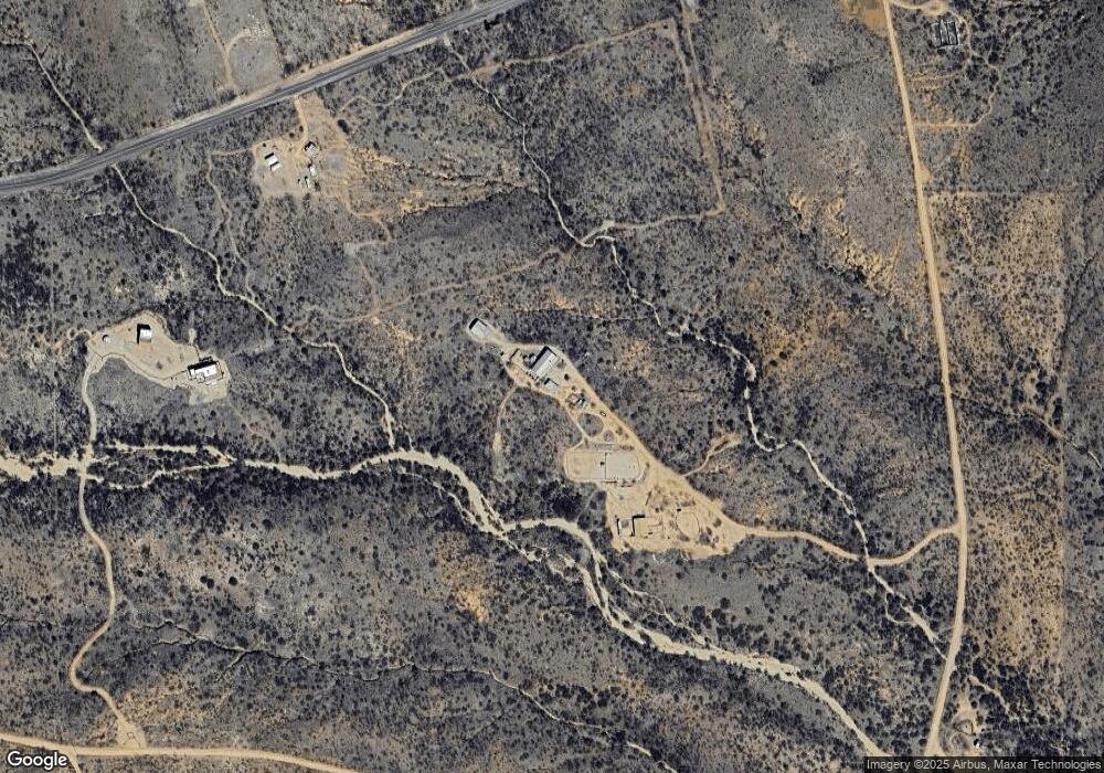
Map
Nearby Homes
- Lot 116 W Stetson Dr
- Lot 116 W Stetson Dr Unit 116
- 11003 N Legend Trail Unit 119
- TBD N High Lonesome Rd Unit 52
- 39 + - Acre On Rambling Rd Unit 100
- 77 + - Acre On Rambling Rd Unit 3/100
- 38 + - Acre On Rambling Rd Unit 3/1
- 5995 W Buckskin Trail Unit 82
- 10632 N Double U Ranch Rd
- TBD N Double U Ranch Rd
- 10632 N Double U Ranch Rd
- 0 N Double U Ranch Rd Unit 22910789
- 62 Acres N Ghost Town Trail
- 286 Acres N Ghost Town Trail
- 348 Acres N Ghost Town Trail
- 36.28 Acre Gleeson Rd Unit 6
- 4842 W Gleeson Rd
- TBD W Gleeson Rd
- TBD W Gleeson Rd
- 4256 W Gleeson Rd
- 6180 W Stetson Dr
- 6715 W Gleeson Rd
- 6035 W Gleeson Rd
- 6060 W Gleeson Rd
- 6053 W Gleeson Rd
- 0 W High Lonesome & Gleeson Rd Unit 21326351
- TBD E 36 Ac Stetson Dr Unit 113
- 11101 N High Lonesome Rd
- 0 E Gleeson Unit 5 21031645
- 10911 N High Lonesome Rd
- 36 Ac Stetson Dr In High Lonesome
- 36 Acres Stetson Dr
- 36 Acres On W Stetson Dr
- 36 Acres On W Stetson Dr Unit 1
- 36 Acres On W Stetson Dr
- 36 Acres On W Stetson Dr Unit 115
- 11081 N Emory Oak Ln
- Lot 116 W Stetson Dr
- 0 W Stetson Dr Unit 120 6566461
- 0 W Stetson Dr Unit 20918348