11011 Adams Dr Clinton, MI 49236
Estimated Value: $235,000 - $441,215
--
Bed
2
Baths
1,877
Sq Ft
$205/Sq Ft
Est. Value
About This Home
This home is located at 11011 Adams Dr, Clinton, MI 49236 and is currently estimated at $385,054, approximately $205 per square foot. 11011 Adams Dr is a home located in Lenawee County with nearby schools including Clinton Elementary School, Clinton Middle School, and Clinton High School.
Ownership History
Date
Name
Owned For
Owner Type
Purchase Details
Closed on
Apr 11, 2005
Sold by
Rock Llc
Bought by
Yakubesan Charles and Yakubesan Dana
Current Estimated Value
Home Financials for this Owner
Home Financials are based on the most recent Mortgage that was taken out on this home.
Original Mortgage
$192,000
Outstanding Balance
$67,694
Interest Rate
1%
Mortgage Type
Adjustable Rate Mortgage/ARM
Estimated Equity
$317,360
Purchase Details
Closed on
Jul 19, 2004
Sold by
Pope Richard Allan and Pope Alexandra
Bought by
Roick Llc
Create a Home Valuation Report for This Property
The Home Valuation Report is an in-depth analysis detailing your home's value as well as a comparison with similar homes in the area
Home Values in the Area
Average Home Value in this Area
Purchase History
| Date | Buyer | Sale Price | Title Company |
|---|---|---|---|
| Yakubesan Charles | $240,000 | None Available | |
| Roick Llc | $40,000 | Metropolitian Title |
Source: Public Records
Mortgage History
| Date | Status | Borrower | Loan Amount |
|---|---|---|---|
| Open | Yakubesan Charles | $192,000 |
Source: Public Records
Tax History Compared to Growth
Tax History
| Year | Tax Paid | Tax Assessment Tax Assessment Total Assessment is a certain percentage of the fair market value that is determined by local assessors to be the total taxable value of land and additions on the property. | Land | Improvement |
|---|---|---|---|---|
| 2025 | $3,584 | $231,700 | $0 | $0 |
| 2024 | $1,359 | $220,200 | $0 | $0 |
| 2022 | $3,004 | $172,300 | $0 | $0 |
| 2021 | $2,964 | $164,800 | $0 | $0 |
| 2020 | $2,929 | $159,800 | $0 | $0 |
| 2019 | $285,799 | $112,100 | $0 | $0 |
| 2018 | $2,802 | $134,330 | $0 | $0 |
| 2017 | $2,593 | $118,467 | $0 | $0 |
| 2016 | $2,590 | $117,560 | $0 | $0 |
| 2014 | -- | $113,049 | $0 | $0 |
Source: Public Records
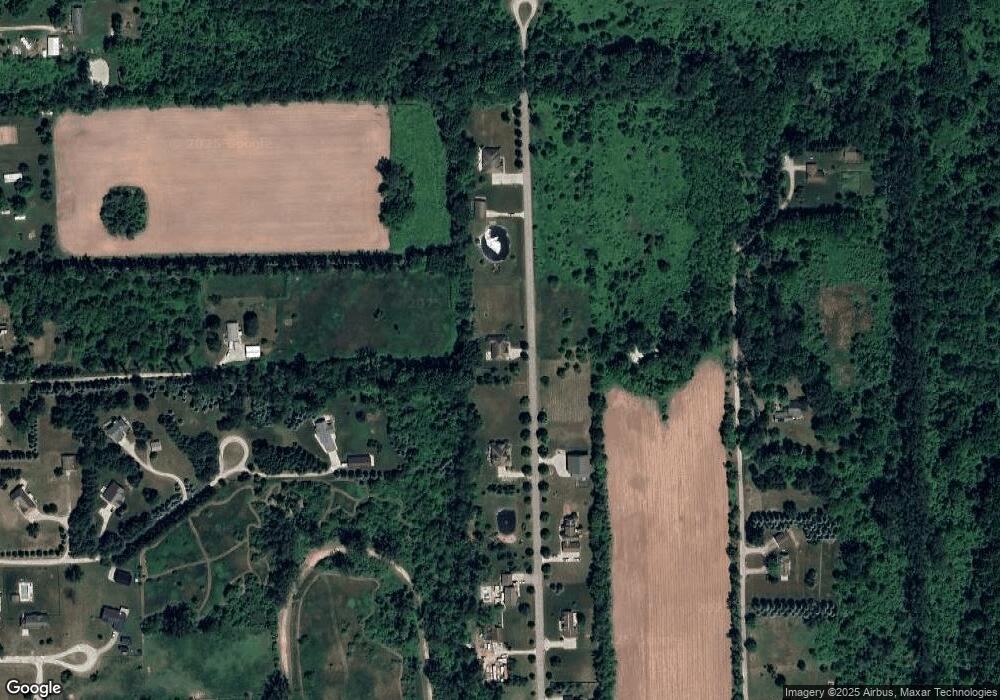
Map
Nearby Homes
- 11800 N Adrian Hwy
- 13001 BLK Bartlett Rd
- 13002 Bartlett Rd
- 317 Clark St
- 118 Litchfield St
- 111 Washington St
- 103 W Michigan Ave
- 13828 Allen Rd
- 20664 Allen Rd
- 116 Currier St
- 201 Bartlett St
- 19740 Lemm Rd
- 1549 Taylor Rd
- 0 Mcneil Hwy Unit Parcel C
- 10000 Mcneil Hwy
- 2962 U S 12
- 3581 Kehoe Rd
- 12164 Wisner Hwy
- V/L Post Oak Dr
- 9000 Matthews Hwy
- 11009 Adams Dr
- 11015 Adams Dr
- 11008 Adams Dr
- 11007 Adams Dr
- 11006 Adams Dr
- 11004 Adams Dr
- 11003 Adams Dr
- 1180 Rady Dr
- 2448 W Michigan Ave
- 11002 Adams Dr
- 16161 Sheridan Rd
- 0 Adams Unit 16 21485916
- 0 Adams Unit 14 4167570
- 0 Adams Unit 13 4167568
- 0 Adams Unit 16 4169292
- 0 Adams Unit 14 4169291
- 0 Adams Unit 13 4169289
- 0 Adams Unit 4009566
- 0 Adams Unit 951219
- 0 Adams Unit 13 899057