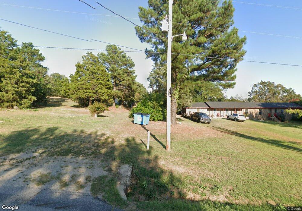
110127 S 4760 Rd Muldrow, OK 74948
Estimated Value: $126,000 - $181,000
3
Beds
2
Baths
1,320
Sq Ft
$119/Sq Ft
Est. Value
About This Home
This home is located at 110127 S 4760 Rd, Muldrow, OK 74948 and is currently estimated at $156,667, approximately $118 per square foot. 110127 S 4760 Rd is a home located in Sequoyah County with nearby schools including Roland Junior High School and Roland High School.
Ownership History
Date
Name
Owned For
Owner Type
Purchase Details
Closed on
Dec 23, 2010
Sold by
Double S Investments Llc
Bought by
Osborne Living Trust
Current Estimated Value
Purchase Details
Closed on
Sep 23, 2009
Sold by
Fox Dana L and Fultz Randy
Bought by
Double S Investments Llc
Home Financials for this Owner
Home Financials are based on the most recent Mortgage that was taken out on this home.
Original Mortgage
$51,758
Interest Rate
5.16%
Mortgage Type
Future Advance Clause Open End Mortgage
Purchase Details
Closed on
Nov 17, 2005
Sold by
Fox William S
Bought by
Fox Dana L
Create a Home Valuation Report for This Property
The Home Valuation Report is an in-depth analysis detailing your home's value as well as a comparison with similar homes in the area
Home Values in the Area
Average Home Value in this Area
Purchase History
| Date | Buyer | Sale Price | Title Company |
|---|---|---|---|
| Osborne Living Trust | $56,000 | -- | |
| Double S Investments Llc | $50,000 | None Available | |
| Fox Dana L | -- | None Available |
Source: Public Records
Mortgage History
| Date | Status | Borrower | Loan Amount |
|---|---|---|---|
| Closed | Osborne Larry L | $173,131 | |
| Previous Owner | Double S Investments Llc | $51,758 |
Source: Public Records
Tax History Compared to Growth
Tax History
| Year | Tax Paid | Tax Assessment Tax Assessment Total Assessment is a certain percentage of the fair market value that is determined by local assessors to be the total taxable value of land and additions on the property. | Land | Improvement |
|---|---|---|---|---|
| 2024 | $862 | $9,688 | $1,485 | $8,203 |
| 2023 | $862 | $9,226 | $1,485 | $7,741 |
| 2022 | $776 | $8,796 | $1,485 | $7,311 |
| 2021 | $773 | $8,674 | $1,485 | $7,189 |
| 2020 | $790 | $8,674 | $1,485 | $7,189 |
| 2019 | $789 | $8,667 | $1,465 | $7,202 |
| 2018 | $691 | $8,255 | $1,380 | $6,875 |
| 2017 | $670 | $7,861 | $961 | $6,900 |
| 2016 | $630 | $7,487 | $895 | $6,592 |
| 2015 | $586 | $7,132 | $843 | $6,289 |
| 2014 | $559 | $6,791 | $785 | $6,006 |
Source: Public Records
Map
Nearby Homes
- 0000 Cottonwood Rd
- 0001 Cottonwood Rd
- 110907 S 4760 Rd
- 476488 E 1095 Rd
- 476584 E 1095 Rd
- 111182 S 4760 Rd
- 511 Mayfield Dr
- 400 W Ray Fine Blvd
- 505 Mayfield Dr
- 309 Neal Dr
- 109365 S 4749 Rd
- 320 Neal Dr
- 200 S Jeff Ln
- 910 James St
- 113 Cherokee Blvd
- 476911 E 1090 Rd
- 476967 E 1090 Rd
- 111587 S 4760 Rd
- 108962 Hummingbird Ln
- 308 Highland Rd
- 110127 S 4760 Rd
- 110171 S 4760 Rd
- 110229 S 4760 Rd
- 110065 S 4760 Rd
- 110253 S 4760 Rd
- 110254 S 4760 Rd
- 476076 E 1100 Rd
- 476044 E 1100 Rd
- 476190 E 1100 Rd
- 475937 E 1100 Rd
- 110120 S 4760 Rd
- 475983 E 1100 Rd
- 475871 E 1100 Rd
- 476289 E 1100 Rd
- 476079 E 1100 Rd
- 109868 S 4760 Rd
- 475768 E 1100 Rd
- 476272 E 1100 Rd
- 476272 E 1100 Rd
- 4760 S 4760 Rd