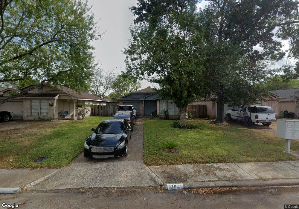
11014 Sacaton Dr Houston, TX 77086
North Houston NeighborhoodEstimated Value: $175,276 - $195,000
3
Beds
1
Bath
1,308
Sq Ft
$142/Sq Ft
Est. Value
About This Home
This home is located at 11014 Sacaton Dr, Houston, TX 77086 and is currently estimated at $186,069, approximately $142 per square foot. 11014 Sacaton Dr is a home located in Harris County with nearby schools including Kujawa EC/Pre-K/K School, Carmichael Elementary School, and Shotwell Middle School.
Ownership History
Date
Name
Owned For
Owner Type
Purchase Details
Closed on
Dec 7, 2005
Sold by
Benitez Jose S and Villatoro Blanca Alicia
Bought by
Benitez Jose S
Current Estimated Value
Home Financials for this Owner
Home Financials are based on the most recent Mortgage that was taken out on this home.
Original Mortgage
$60,000
Interest Rate
10.9%
Mortgage Type
New Conventional
Create a Home Valuation Report for This Property
The Home Valuation Report is an in-depth analysis detailing your home's value as well as a comparison with similar homes in the area
Home Values in the Area
Average Home Value in this Area
Purchase History
| Date | Buyer | Sale Price | Title Company |
|---|---|---|---|
| Benitez Jose S | -- | Fidelity National Title |
Source: Public Records
Mortgage History
| Date | Status | Borrower | Loan Amount |
|---|---|---|---|
| Closed | Benitez Jose S | $60,000 |
Source: Public Records
Tax History Compared to Growth
Tax History
| Year | Tax Paid | Tax Assessment Tax Assessment Total Assessment is a certain percentage of the fair market value that is determined by local assessors to be the total taxable value of land and additions on the property. | Land | Improvement |
|---|---|---|---|---|
| 2025 | $3,305 | $167,746 | $34,404 | $133,342 |
| 2024 | $3,305 | $163,555 | $28,804 | $134,751 |
| 2023 | $3,305 | $165,839 | $28,804 | $137,035 |
| 2022 | $2,466 | $143,511 | $21,603 | $121,908 |
| 2021 | $2,355 | $121,459 | $21,603 | $99,856 |
| 2020 | $2,279 | $117,219 | $21,603 | $95,616 |
| 2019 | $2,206 | $111,461 | $21,603 | $89,858 |
| 2018 | $758 | $87,642 | $21,603 | $66,039 |
| 2017 | $1,935 | $87,642 | $21,603 | $66,039 |
| 2016 | $1,759 | $64,273 | $21,603 | $42,670 |
| 2015 | $1,646 | $64,319 | $12,002 | $52,317 |
| 2014 | $1,646 | $65,787 | $12,002 | $53,785 |
Source: Public Records
Map
Nearby Homes
- 7222 Northleaf Dr
- 11007 Tobasa Ct
- 7227 Greenyard Dr
- 7218 Winding Trace Dr
- 11006 Crinkleawn Dr
- 5010 Kale Ct
- 7002 Sandswept Ln
- 7023 Sandswept Ln
- 10711 Heather Hill Dr
- 11021 Crenchrus Ct
- 5103 Dartmoor Ridge Trail
- 10614 Mackenzie Dr
- 6654 Brownie Campbell Rd
- 10723 Mackenzie Dr
- 6722 Winding Trace Dr
- 11009 Panicum Ct
- 6610 Northleaf Dr
- 6630 Brownie Campbell Rd
- 10307 Bammel North Houston Rd
- 6911 Silver Star Dr
- 11012 Sacaton Dr
- 11016 Sacaton Dr
- 11008 Sacaton Dr
- 11018 Sacaton Dr
- 11011 Maidencane Ct
- 11015 Maidencane Ct
- 11006 Sacaton Dr
- 11020 Sacaton Dr
- 11009 Maidencane Ct
- 11019 Maidencane Ct
- 11007 Maidencane Ct
- 11002 Sacaton Dr
- 11021 Maidencane Ct
- 11015 Sacaton Dr
- 11011 Sacaton Dr
- 11017 Sacaton Dr
- 11024 Sacaton Dr
- 11009 Sacaton Dr
- 11019 Sacaton Dr
- 11003 Maidencane Ct