Estimated Value: $265,039 - $276,000
3
Beds
3
Baths
1,092
Sq Ft
$248/Sq Ft
Est. Value
About This Home
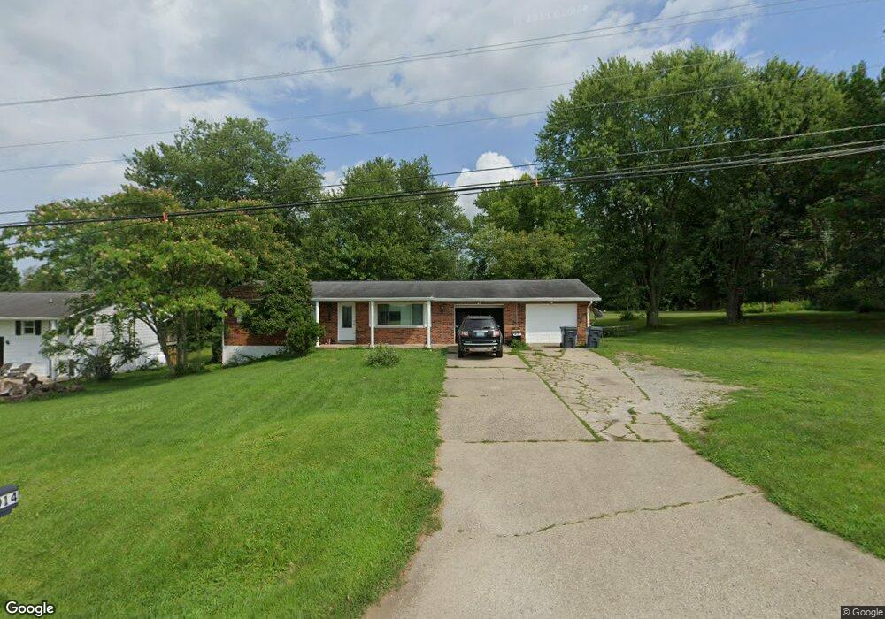
This home is located at 11014 U S Highway 42, Union, KY 41091 and is currently estimated at $271,010, approximately $248 per square foot. 11014 U S Highway 42 is a home located in Boone County with nearby schools including New Haven Elementary School, Gray Middle School, and Larry A. Ryle High School.
Ownership History
Date
Name
Owned For
Owner Type
Purchase Details
Closed on
Jan 24, 2024
Sold by
Stewart Lennie and Stewart Maggie
Bought by
Nunn Ryan and Gripshover Charlene
Current Estimated Value
Purchase Details
Closed on
Feb 24, 2017
Sold by
Salyers William Ryan and Salyers Molly E
Bought by
Stewart Lennie and Stewart Maggie
Home Financials for this Owner
Home Financials are based on the most recent Mortgage that was taken out on this home.
Original Mortgage
$146,262
Interest Rate
4.12%
Mortgage Type
New Conventional
Purchase Details
Closed on
May 1, 2007
Sold by
Woods Patricia A
Bought by
Salyers William Ryan and Moeves Molly E
Home Financials for this Owner
Home Financials are based on the most recent Mortgage that was taken out on this home.
Original Mortgage
$151,000
Interest Rate
6.12%
Mortgage Type
New Conventional
Create a Home Valuation Report for This Property
The Home Valuation Report is an in-depth analysis detailing your home's value as well as a comparison with similar homes in the area
Home Values in the Area
Average Home Value in this Area
Purchase History
| Date | Buyer | Sale Price | Title Company |
|---|---|---|---|
| Nunn Ryan | $245,000 | Kentucky Land Title | |
| Nunn Ryan | $245,000 | Kentucky Land Title | |
| Stewart Lennie | $144,800 | 360 American Title Svcs Llc | |
| Salyers William Ryan | $151,000 | None Available |
Source: Public Records
Mortgage History
| Date | Status | Borrower | Loan Amount |
|---|---|---|---|
| Previous Owner | Stewart Lennie | $146,262 | |
| Previous Owner | Salyers William Ryan | $151,000 |
Source: Public Records
Tax History Compared to Growth
Tax History
| Year | Tax Paid | Tax Assessment Tax Assessment Total Assessment is a certain percentage of the fair market value that is determined by local assessors to be the total taxable value of land and additions on the property. | Land | Improvement |
|---|---|---|---|---|
| 2024 | $1,666 | $144,800 | $10,000 | $134,800 |
| 2023 | $1,648 | $144,800 | $10,000 | $134,800 |
| 2022 | $1,626 | $144,800 | $10,000 | $134,800 |
| 2021 | $1,704 | $144,800 | $10,000 | $134,800 |
| 2020 | $1,658 | $144,800 | $10,000 | $134,800 |
| 2019 | $1,677 | $144,800 | $10,000 | $134,800 |
| 2018 | $1,727 | $144,800 | $10,000 | $134,800 |
| 2017 | $1,723 | $151,000 | $0 | $151,000 |
| 2015 | $1,702 | $151,000 | $0 | $151,000 |
| 2013 | -- | $151,000 | $0 | $151,000 |
Source: Public Records
Map
Nearby Homes
- 11126 Lakeview Dr
- 2619 Twin Hills Ct
- 10659 Mountain Laurel Way
- 1855 Woodward Ct
- 14086 Bridlegate Dr
- 1284 Brookstone Dr
- 11179 War Admiral Dr
- Lot 5 Hicks Pike
- 10007 Glensprings Place
- 11012 War Admiral Dr
- 1200 Brookstone Dr
- 1052 Aristides Dr
- 1042 Spectacular Bid Dr
- 5100 Limerick Ct
- 6800 Green Isle Ln
- 815 Devin Ct
- 1049 Swale Ct
- 928 Dustwhirl Dr
- 1205 Citation Dr
- 15005 Prat Ct
- 11014 U S 42
- 11014 Us Highway 42
- 11014 Us Highway 42 Unit Us
- 11004 Us Highway 42
- 11024 Us Highway 42
- 1938 Ransom Dr
- 11079 Us Highway 42
- 1906 Benson Place
- 1926 Ransom Dr
- 1943 Benson Place
- 10970 Us-42
- 10970 Us 42
- 1944 Benson Place
- 11173 Willow Place
- 1935 Benson Place
- 1920 Ransom Dr
- 1920 Ransom Dr
- 1921 Ransom Dr
- 10921 North Dr
- 10921 North Dr