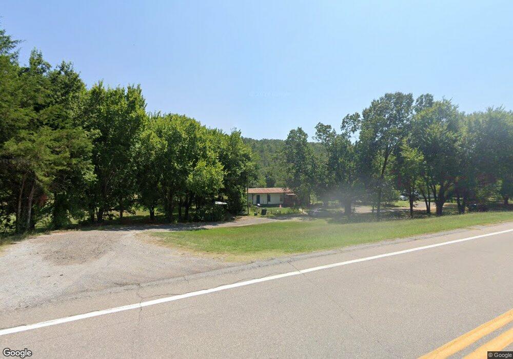
11016 E Highway 43 Stringtown, OK 74569
Estimated Value: $155,000 - $317,000
3
Beds
1
Bath
1,456
Sq Ft
$138/Sq Ft
Est. Value
About This Home
This home is located at 11016 E Highway 43, Stringtown, OK 74569 and is currently estimated at $201,122, approximately $138 per square foot. 11016 E Highway 43 is a home with nearby schools including Stringtown Elementary School and Stringtown High School.
Ownership History
Date
Name
Owned For
Owner Type
Purchase Details
Closed on
Apr 8, 2019
Sold by
Salvador Munoz
Bought by
Allen Billy R
Current Estimated Value
Home Financials for this Owner
Home Financials are based on the most recent Mortgage that was taken out on this home.
Original Mortgage
$75,000
Outstanding Balance
$67,120
Interest Rate
4.3%
Mortgage Type
New Conventional
Estimated Equity
$134,002
Purchase Details
Closed on
Jun 27, 2012
Sold by
Cha
Bought by
Munoz Shirley and Munoz Salvador
Purchase Details
Closed on
Jun 13, 2012
Sold by
Cha
Bought by
Munoz Shirley and Munoz Salvador
Purchase Details
Closed on
Nov 4, 2004
Sold by
Cha
Bought by
Munoz
Create a Home Valuation Report for This Property
The Home Valuation Report is an in-depth analysis detailing your home's value as well as a comparison with similar homes in the area
Purchase History
| Date | Buyer | Sale Price | Title Company |
|---|---|---|---|
| Allen Billy R | $75,000 | Complete Closing Llc | |
| Munoz Shirley | -- | -- | |
| Munoz Shirley | -- | -- | |
| Munoz | -- | -- |
Source: Public Records
Mortgage History
| Date | Status | Borrower | Loan Amount |
|---|---|---|---|
| Open | Allen Billy R | $75,000 |
Source: Public Records
Tax History
| Year | Tax Paid | Tax Assessment Tax Assessment Total Assessment is a certain percentage of the fair market value that is determined by local assessors to be the total taxable value of land and additions on the property. | Land | Improvement |
|---|---|---|---|---|
| 2025 | $991 | $10,026 | $679 | $9,347 |
| 2024 | $991 | $9,548 | $646 | $8,902 |
| 2023 | $872 | $9,095 | $507 | $8,588 |
| 2022 | $778 | $8,661 | $324 | $8,337 |
| 2021 | $792 | $8,620 | $321 | $8,299 |
| 2020 | $845 | $9,000 | $681 | $8,319 |
| 2019 | $378 | $4,953 | $406 | $4,547 |
| 2018 | $370 | $4,810 | $469 | $4,341 |
| 2017 | $301 | $4,669 | $439 | $4,230 |
| 2016 | $293 | $4,533 | $419 | $4,114 |
| 2015 | $283 | $4,401 | $400 | $4,001 |
| 2014 | $243 | $4,273 | $621 | $3,652 |
Source: Public Records
Map
Nearby Homes
- Five Stone Ranch
- 4 State Highway 43
- 3 State Highway 43
- 29000 State Highway 43
- 24846 S Hwy 43
- Tract 1 N 4095 Road;
- Tract 5 N 4095 Road;
- Tract 2 N 4095 Road;
- Tract 3 N 4095 Road;
- Tract 4 N 4095 Road;
- Tract 6 N 4095 Road;
- the Ranch 23
- 453 SE K St
- 0 State Highway 43
- 175626 Boulder Rd
- 240 acres Woodland Trail
- 2 Eagle
- T01S-R15E Kiamichi Wildernes Unit Lot 9
- 326-K Black Oak Trail
- 409-E Gobbler Trail
- 11073 E Highway 43
- 4414 N Givens Ln
- 9546 N Kelly Springs Rd
- 11070 E Highway 43
- 11300 E Highway 43
- 13006 N Pittsburg Rd
- 8755 N Layton Ln
- 871B E 43 Hwy
- 11678 N Cane Break Rd
- 11516 N Cane Break Rd
- 000 Kelly Springs Rd
- Tract 2 Kelly Springs Rd
- Tract 1 Kelly Springs Rd
- 00 Kelly Springs Rd
- 1546 E Greasy Bend Rd
Your Personal Tour Guide
Ask me questions while you tour the home.