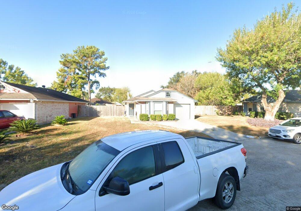
11017 Beaver Trail Dr Houston, TX 77086
North Houston NeighborhoodEstimated Value: $179,086 - $188,000
2
Beds
2
Baths
1,263
Sq Ft
$146/Sq Ft
Est. Value
About This Home
This home is located at 11017 Beaver Trail Dr, Houston, TX 77086 and is currently estimated at $185,022, approximately $146 per square foot. 11017 Beaver Trail Dr is a home located in Harris County with nearby schools including Kujawa EC/Pre-K/K School, Carmichael Elementary School, and Shotwell Middle School.
Ownership History
Date
Name
Owned For
Owner Type
Purchase Details
Closed on
Jul 5, 2016
Sold by
Mayo Virgil M and Mayo Theresa
Bought by
Darden Raquel L
Current Estimated Value
Home Financials for this Owner
Home Financials are based on the most recent Mortgage that was taken out on this home.
Original Mortgage
$88,271
Outstanding Balance
$72,480
Interest Rate
4.5%
Mortgage Type
FHA
Estimated Equity
$112,542
Create a Home Valuation Report for This Property
The Home Valuation Report is an in-depth analysis detailing your home's value as well as a comparison with similar homes in the area
Home Values in the Area
Average Home Value in this Area
Purchase History
| Date | Buyer | Sale Price | Title Company |
|---|---|---|---|
| Darden Raquel L | -- | Capital Title |
Source: Public Records
Mortgage History
| Date | Status | Borrower | Loan Amount |
|---|---|---|---|
| Open | Darden Raquel L | $88,271 |
Source: Public Records
Tax History Compared to Growth
Tax History
| Year | Tax Paid | Tax Assessment Tax Assessment Total Assessment is a certain percentage of the fair market value that is determined by local assessors to be the total taxable value of land and additions on the property. | Land | Improvement |
|---|---|---|---|---|
| 2025 | $1,690 | $172,702 | $32,680 | $140,022 |
| 2024 | $1,690 | $150,000 | $27,360 | $122,640 |
| 2023 | $1,690 | $185,448 | $27,360 | $158,088 |
| 2022 | $2,579 | $119,070 | $20,520 | $98,550 |
| 2021 | $2,723 | $133,749 | $20,520 | $113,229 |
| 2020 | $2,634 | $120,882 | $20,520 | $100,362 |
| 2019 | $2,550 | $114,833 | $20,520 | $94,313 |
| 2018 | $932 | $89,900 | $20,520 | $69,380 |
| 2017 | $2,460 | $89,900 | $20,520 | $69,380 |
| 2016 | $1,787 | $65,319 | $20,520 | $44,799 |
| 2015 | $1,989 | $66,327 | $11,400 | $54,927 |
| 2014 | $1,989 | $67,870 | $11,400 | $56,470 |
Source: Public Records
Map
Nearby Homes
- 7227 Greenyard Dr
- 7222 Northleaf Dr
- 7218 Winding Trace Dr
- 5010 Kale Ct
- 11007 Tobasa Ct
- 5103 Dartmoor Ridge Trail
- 10711 Heather Hill Dr
- 7002 Sandswept Ln
- 7023 Sandswept Ln
- 10723 Mackenzie Dr
- 10614 Mackenzie Dr
- 11006 Crinkleawn Dr
- 11021 Crenchrus Ct
- 6654 Brownie Campbell Rd
- 6722 Winding Trace Dr
- 11009 Panicum Ct
- 10307 Bammel North Houston Rd
- 11532 Champions Green Dr
- 6610 Northleaf Dr
- 6630 Brownie Campbell Rd
- 11015 Beaver Trail Dr
- 11021 Beaver Trail Dr
- 11011 Beaver Trail Dr
- 11016 Cottontop Ct
- 11014 Cottontop Ct
- 11020 Cottontop Ct
- 11025 Beaver Trail Dr
- 11009 Beaver Trail Dr
- 11012 Cottontop Ct
- 11016 Beaver Trail Dr
- 11024 Beaver Trail Dr
- 11014 Beaver Trail Dr
- 11008 Cottontop Ct
- 11007 Beaver Trail Dr
- 11022 Cottontop Ct
- 11012 Beaver Trail Dr
- 11020 Beaver Trail Dr
- 11006 Cottontop Ct
- 11008 Beaver Trail Dr
- 11022 Beaver Trail Dr