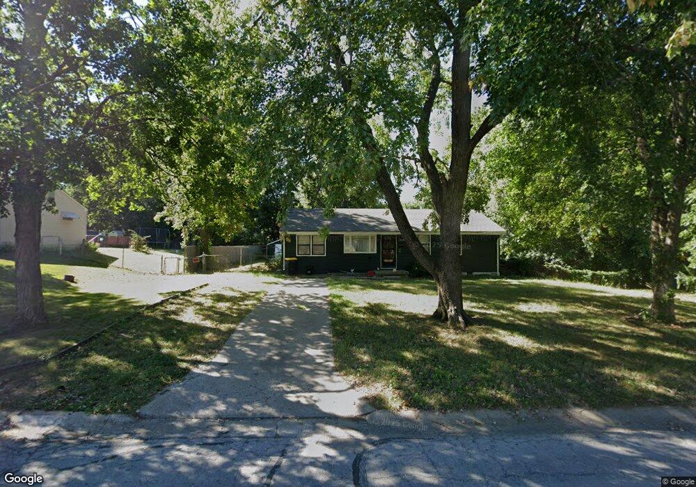
11017 E 50th Terrace Unit US Raytown, MO 64133
Estimated Value: $283,000 - $485,000
8
Beds
8
Baths
3,568
Sq Ft
$105/Sq Ft
Est. Value
About This Home
This home is located at 11017 E 50th Terrace Unit US, Raytown, MO 64133 and is currently estimated at $373,000, approximately $104 per square foot. 11017 E 50th Terrace Unit US is a home located in Jackson County with nearby schools including Southwood Elementary, South Middle School, and Carver Christian Academy.
Ownership History
Date
Name
Owned For
Owner Type
Purchase Details
Closed on
Mar 31, 2015
Sold by
Studer Steven and Studer Mary
Bought by
Studer Steven and Studer Mary
Current Estimated Value
Create a Home Valuation Report for This Property
The Home Valuation Report is an in-depth analysis detailing your home's value as well as a comparison with similar homes in the area
Home Values in the Area
Average Home Value in this Area
Purchase History
| Date | Buyer | Sale Price | Title Company |
|---|---|---|---|
| Studer Steven | -- | None Available |
Source: Public Records
Tax History
| Year | Tax Paid | Tax Assessment Tax Assessment Total Assessment is a certain percentage of the fair market value that is determined by local assessors to be the total taxable value of land and additions on the property. | Land | Improvement |
|---|---|---|---|---|
| 2025 | $4,438 | $56,569 | $6,038 | $50,531 |
| 2024 | $4,438 | $49,191 | $5,972 | $43,219 |
| 2023 | $4,408 | $49,191 | $8,751 | $40,440 |
| 2022 | $5,004 | $53,200 | $5,330 | $47,870 |
| 2021 | $5,022 | $53,200 | $5,330 | $47,870 |
| 2020 | $4,454 | $46,741 | $5,330 | $41,411 |
| 2019 | $4,431 | $46,741 | $5,330 | $41,411 |
| 2018 | $2,940 | $32,116 | $3,131 | $28,985 |
| 2017 | $2,850 | $32,116 | $3,131 | $28,985 |
| 2016 | $2,850 | $31,312 | $3,610 | $27,702 |
| 2014 | -- | $31,312 | $3,610 | $27,702 |
Source: Public Records
Map
Nearby Homes
- 7923 Harris Ave
- 8132 Sterling Ave
- 10601 E 78th Terrace
- 11605 E 78th St
- 7520 Lewis Ave
- 7606 Woodson Rd
- 10308 E 81st St
- 11104 E 83rd Terrace
- 8304 Willow Way
- 11800 E 77th St
- 8320 Willow Way
- 8404 Sterling Ave
- 8001 Westridge Rd Unit 102
- 10604 E 75th St
- 8324 Pershing Rd
- 7308 Crisp Ave
- 8515 Harvard Terrace
- 9807 E 79th Terrace
- 8408 Woodson Ct
- 8112 Raytown Rd
- 7915 Harris Ave
- 7911 Harris Ave
- 7919 Harris Ave
- 7912 Sterling Ave
- 7914 Sterling Ave
- 8001 Harris Ave
- 11011 E 78th Terrace
- 11015 E 78th Terrace
- 11100 E M 350 Hwy
- 7918 Sterling Ave
- 11101 E 78th Terrace
- 7924 Harris Ave
- 11222 E State Route 350
- 11105 E 78th Terrace
- 8003 Harris Ave
- 8000 Sterling Ave
- 11109 E 78th Terrace
- 8000 Harris Ave
- 11201 E 78th Terrace
- 8005 Harris Ave
Your Personal Tour Guide
Ask me questions while you tour the home.