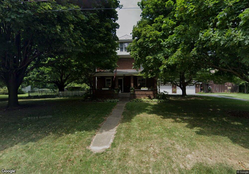
11017 Market Ave NW Uniontown, OH 44685
Estimated Value: $293,000 - $425,000
4
Beds
2
Baths
2,568
Sq Ft
$133/Sq Ft
Est. Value
About This Home
This home is located at 11017 Market Ave NW, Uniontown, OH 44685 and is currently estimated at $341,799, approximately $133 per square foot. 11017 Market Ave NW is a home located in Stark County with nearby schools including Lake Middle/High School and Lake Center Christian School.
Ownership History
Date
Name
Owned For
Owner Type
Purchase Details
Closed on
Mar 16, 2011
Sold by
Mcclarren Dennis W
Bought by
Martin Timothy L
Current Estimated Value
Home Financials for this Owner
Home Financials are based on the most recent Mortgage that was taken out on this home.
Original Mortgage
$103,000
Interest Rate
4.88%
Mortgage Type
New Conventional
Create a Home Valuation Report for This Property
The Home Valuation Report is an in-depth analysis detailing your home's value as well as a comparison with similar homes in the area
Home Values in the Area
Average Home Value in this Area
Purchase History
| Date | Buyer | Sale Price | Title Company |
|---|---|---|---|
| Martin Timothy L | $68,800 | First American Title Ins Co |
Source: Public Records
Mortgage History
| Date | Status | Borrower | Loan Amount |
|---|---|---|---|
| Previous Owner | Martin Timothy L | $103,000 |
Source: Public Records
Tax History Compared to Growth
Tax History
| Year | Tax Paid | Tax Assessment Tax Assessment Total Assessment is a certain percentage of the fair market value that is determined by local assessors to be the total taxable value of land and additions on the property. | Land | Improvement |
|---|---|---|---|---|
| 2025 | -- | $86,070 | $28,770 | $57,300 |
| 2024 | -- | $86,070 | $28,770 | $57,300 |
| 2023 | $3,183 | $68,040 | $16,450 | $51,590 |
| 2022 | $3,193 | $68,040 | $16,450 | $51,590 |
| 2021 | $3,230 | $68,040 | $16,450 | $51,590 |
| 2020 | $3,120 | $58,950 | $14,180 | $44,770 |
| 2019 | $3,091 | $58,970 | $14,180 | $44,790 |
| 2018 | $3,094 | $58,970 | $14,180 | $44,790 |
| 2017 | $2,447 | $43,310 | $14,180 | $29,130 |
| 2016 | $2,451 | $43,310 | $14,180 | $29,130 |
| 2015 | $2,450 | $43,310 | $14,180 | $29,130 |
| 2014 | $110 | $38,800 | $12,750 | $26,050 |
| 2013 | $1,055 | $38,800 | $12,750 | $26,050 |
Source: Public Records
Map
Nearby Homes
- 1037 Canyon St NE
- 1771 Midway St NW
- 11121 Geib Ave NE
- 12055 King Church Ave NW
- 747 Grandview Cir
- 786 Fair Vista Cir SW
- 778 Fair Vista Cir SW
- 531 Gentlebrook Blvd SW
- 525 Gentlebrook Blvd SW
- 2084 Hazel St NE
- 550 Woodlands Glen Ave
- 425 Tonawanda Trail SW
- 11900 Geib Ave NE
- 510 Meadow Cir SW Unit 11
- 1975 Eloise Cir NE
- 12201 King Church Ave NW
- 1180 Tessa Trail Unit 1180
- 9790 Smithdale Ave NE
- Unit 9 Meadow Trail SW Unit 9
- 225 Seneca Trail SW
- 11014 Titus Ave NW
- 10996 Titus Ave NW
- 11032 Titus Ave NW
- 10971 Market Ave NW
- 10976 Titus Ave NW
- 11065 Market Ave NW
- 10956 Titus Ave NW
- 11087 Market Ave NW
- 11010 Market Ave NE
- 11025 Titus Ave NW
- 1080 Canyon St NW
- 10988 Market Ave NE
- 10991 Titus Ave NW
- 1107 Royce St NW
- 1130 Canyon St NW
- 1034 Royce St NW
- 1018 Royce St NW
- 1054 Royce St NW
- 1056 Desert St NE
- 1081 Canyon St NW