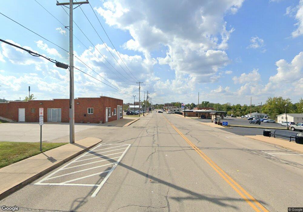
11019 Highway C Hillsboro, MO 63050
Estimated Value: $258,000 - $286,000
--
Bed
--
Bath
1,512
Sq Ft
$181/Sq Ft
Est. Value
About This Home
This home is located at 11019 Highway C, Hillsboro, MO 63050 and is currently estimated at $272,922, approximately $180 per square foot. 11019 Highway C is a home located in Jefferson County with nearby schools including Grandview Elementary School, Grandview Middle School, and Grandview High School.
Ownership History
Date
Name
Owned For
Owner Type
Purchase Details
Closed on
Feb 1, 2016
Sold by
Mcclinton Mike and Mcclinton John S
Bought by
Adkins Thomas J and Adkins Marcia G
Current Estimated Value
Home Financials for this Owner
Home Financials are based on the most recent Mortgage that was taken out on this home.
Original Mortgage
$106,000
Interest Rate
3.99%
Mortgage Type
New Conventional
Create a Home Valuation Report for This Property
The Home Valuation Report is an in-depth analysis detailing your home's value as well as a comparison with similar homes in the area
Home Values in the Area
Average Home Value in this Area
Purchase History
| Date | Buyer | Sale Price | Title Company |
|---|---|---|---|
| Adkins Thomas J | -- | Integrity Title Solutions Ll |
Source: Public Records
Mortgage History
| Date | Status | Borrower | Loan Amount |
|---|---|---|---|
| Previous Owner | Adkins Thomas J | $106,000 |
Source: Public Records
Tax History Compared to Growth
Tax History
| Year | Tax Paid | Tax Assessment Tax Assessment Total Assessment is a certain percentage of the fair market value that is determined by local assessors to be the total taxable value of land and additions on the property. | Land | Improvement |
|---|---|---|---|---|
| 2025 | $1,871 | $28,300 | $1,300 | $27,000 |
| 2024 | $1,871 | $26,000 | $1,300 | $24,700 |
| 2023 | $1,871 | $26,000 | $1,300 | $24,700 |
| 2022 | $1,869 | $26,000 | $1,300 | $24,700 |
| 2021 | $1,869 | $26,000 | $1,300 | $24,700 |
| 2020 | $1,745 | $23,600 | $1,000 | $22,600 |
| 2019 | $1,744 | $23,600 | $1,000 | $22,600 |
| 2018 | $1,749 | $23,600 | $1,000 | $22,600 |
| 2017 | $1,666 | $23,600 | $1,000 | $22,600 |
| 2016 | $1,547 | $21,500 | $1,000 | $20,500 |
| 2015 | $1,424 | $21,500 | $1,000 | $20,500 |
| 2013 | $1,424 | $21,000 | $1,000 | $20,000 |
Source: Public Records
Map
Nearby Homes
- 244 Red Maple Unit Lot 13
- 867 Dogwood Ln
- 863 Dogwood Ln
- 851 Dogwood Ln
- 806 Dogwood Ln
- 6391 Forest Meadow Rd
- 241 Red Maple Ct
- 6135 Tall Cedars Rd
- 6237 State Road B
- 449 Woodsorrel Dr
- 835 Dogwood Dr
- 831 Dogwood Dr
- 848 Dogwood Dr
- 822 Dogwood Dr
- 847 Dogwood Dr
- 826 Dogwood Dr
- 6103 Union Dr
- 8646 State Road Ee
- 9904 Shiloh Dr
- 157 Cottonblossom Dr
- 11018 Highway C
- 11019 State Road C
- 11019 State Road C
- 11024 State Road C
- 1 Misty Valley Dr
- 11000 State Road C
- 10961 State Road C
- 10961 State Road C
- 10961 State Road C
- 15 Misty Valley Dr
- 101 Cocoa Dr
- 10929 State Road C
- 10902 State Road C
- 11150 State Road C
- 10868 State Road C
- 10868 State Road C
- 10868 State Road C
- 6506 Reynolds Creek Rd
- 3 Morgan Meadows Lot
- 7 Morgan Meadows Lot
