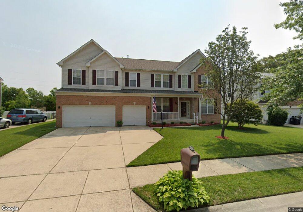
1102 Cattail Commons Way Denton, MD 21629
Estimated Value: $401,000 - $487,000
Studio
3
Baths
3,856
Sq Ft
$111/Sq Ft
Est. Value
About This Home
This home is located at 1102 Cattail Commons Way, Denton, MD 21629 and is currently estimated at $428,965, approximately $111 per square foot. 1102 Cattail Commons Way is a home located in Caroline County with nearby schools including Denton Elementary School, Lockerman Middle School, and North Caroline High School.
Ownership History
Date
Name
Owned For
Owner Type
Purchase Details
Closed on
Aug 15, 2020
Sold by
Matthews Ralph and Matthews Roberta C
Bought by
Blackstone Destinee Lachelle
Current Estimated Value
Purchase Details
Closed on
Sep 21, 2006
Sold by
Ryl& Group Inc
Bought by
Matthews Ralph Roberta C
Purchase Details
Closed on
Aug 29, 2006
Sold by
Ryl& Group Inc
Bought by
Matthews Ralph Roberta C
Purchase Details
Closed on
May 1, 2006
Sold by
Garl& & Hobbs Llc
Bought by
Ryland Group Inc
Purchase Details
Closed on
Apr 17, 2006
Sold by
Garl& & Hobbs Llc
Bought by
Ryland Group Inc
Create a Home Valuation Report for This Property
The Home Valuation Report is an in-depth analysis detailing your home's value as well as a comparison with similar homes in the area
Home Values in the Area
Average Home Value in this Area
Purchase History
| Date | Buyer | Sale Price | Title Company |
|---|---|---|---|
| Blackstone Destinee Lachelle | -- | None Available | |
| Matthews Ralph Roberta C | $432,998 | -- | |
| Matthews Ralph Roberta C | $432,998 | -- | |
| Ryland Group Inc | $134,000 | -- | |
| Ryland Group Inc | $134,000 | -- |
Source: Public Records
Tax History
| Year | Tax Paid | Tax Assessment Tax Assessment Total Assessment is a certain percentage of the fair market value that is determined by local assessors to be the total taxable value of land and additions on the property. | Land | Improvement |
|---|---|---|---|---|
| 2025 | $4,982 | $362,200 | $42,300 | $319,900 |
| 2024 | $4,982 | $333,800 | $0 | $0 |
| 2023 | $4,982 | $305,400 | $0 | $0 |
| 2022 | $4,720 | $277,000 | $42,300 | $234,700 |
| 2020 | $0 | $254,000 | $0 | $0 |
| 2019 | $4,370 | $242,500 | $25,600 | $216,900 |
| 2018 | $2,684 | $242,500 | $25,600 | $216,900 |
| 2017 | $4,354 | $242,500 | $0 | $0 |
| 2016 | -- | $248,500 | $0 | $0 |
| 2015 | -- | $242,633 | $0 | $0 |
| 2014 | -- | $236,767 | $0 | $0 |
Source: Public Records
Map
Nearby Homes
- 1106 Osprey Ln
- 1107 Osprey Ln
- 1412 Blue Heron Dr
- 1204 Blue Heron Dr
- 1202 Blue Heron Dr
- 1907 Blue Heron Dr
- 1203 Tuckahoe Ct
- 1303 Fairfield Ct
- 1005 Market St
- 118 Briarwood Cir
- 406 Morning Glory Dr
- 804 Gay St
- 207 S 7th St
- 536 Gay St
- 106 S 6th St
- 501 Lincoln St
- 10819 Greensboro Rd
- 112 S 5th Ave
- 121 Edenton Ln
- 311 Kerr Ave
- 1104 Cattail Commons Way
- 1100 Cattail Commons Way
- 1106 Cattail Commons Way
- 1101 Cattail Commons Way
- 1103 Cattail Commons Way
- 1105 Cattail Commons Way
- 1108 Cattail Commons Way
- 1101 Cypress Ct
- LOT 162 Garland Rd
- 1200 Cattail Commons Way
- 1103 Cypress Ct
- 10075 Mila St
- 0 Cypress Ct Unit CM7500656
- 0 Cypress Ct Unit 1005094922
- 1105 Cypress Ct
- 1202 Cattail Commons Way
- 1204 Cattail Commons Way
- 219227 Market St
- 1107 Cypress Ct
- 10060 Mila St
Your Personal Tour Guide
Ask me questions while you tour the home.