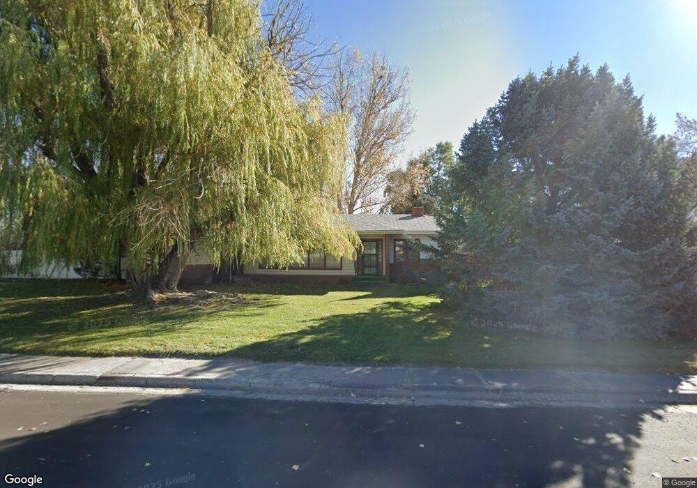
1102 Circle Rd Worland, WY 82401
Estimated Value: $306,683 - $313,000
4
Beds
2
Baths
2,705
Sq Ft
$115/Sq Ft
Est. Value
About This Home
This home is located at 1102 Circle Rd, Worland, WY 82401 and is currently estimated at $310,894, approximately $114 per square foot. 1102 Circle Rd is a home located in Washakie County with nearby schools including East Side Elementary School, South Side Elementary School, and West Side Elementary School.
Create a Home Valuation Report for This Property
The Home Valuation Report is an in-depth analysis detailing your home's value as well as a comparison with similar homes in the area
Home Values in the Area
Average Home Value in this Area
Tax History Compared to Growth
Tax History
| Year | Tax Paid | Tax Assessment Tax Assessment Total Assessment is a certain percentage of the fair market value that is determined by local assessors to be the total taxable value of land and additions on the property. | Land | Improvement |
|---|---|---|---|---|
| 2025 | $1,368 | $17,971 | $2,865 | $15,106 |
| 2024 | $1,769 | $23,233 | $3,866 | $19,367 |
| 2023 | $1,738 | $22,827 | $4,205 | $18,622 |
| 2022 | $1,772 | $23,272 | $4,205 | $19,067 |
| 2021 | $1,735 | $22,789 | $4,205 | $18,584 |
| 2020 | $1,742 | $22,880 | $4,205 | $18,675 |
| 2019 | $1,681 | $22,075 | $4,205 | $17,870 |
| 2018 | $1,679 | $22,048 | $4,205 | $17,843 |
| 2017 | $1,710 | $22,458 | $3,610 | $18,848 |
| 2016 | $1,703 | $22,358 | $3,373 | $18,985 |
| 2015 | -- | $21,466 | $3,373 | $18,093 |
| 2014 | -- | $18,489 | $3,168 | $15,321 |
Source: Public Records
Map
Nearby Homes
- 1012 Pulliam Ave
- 1301 Pulliam Ave
- 1015 Robertson Ave
- 2396 U S 20
- 2386 U S 20
- 2366 U S 20
- 814 Conant Ave
- 1205 Coburn Ave
- 1300 Coburn Ave
- 1542 Cloud Peak Dr
- 821 Obie Sue Ave
- 408 S 16th St
- 624 S 5th St
- 520 Obie Sue Ave
- 501 Obie Sue Ave
- 2007 Harkins Ave
- 739 S 13th St
- 708 S 16th St
- 225 S 22nd St
- 813 S 15th St