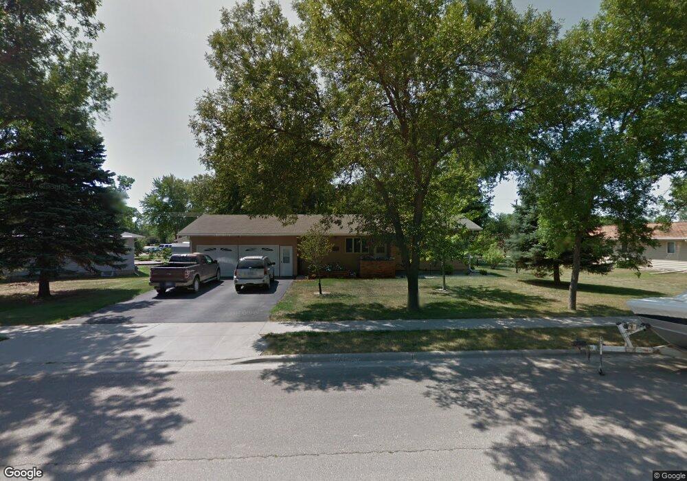
1102 N Main St Groton, SD 57445
Estimated Value: $248,974 - $282,000
3
Beds
--
Bath
1,848
Sq Ft
$141/Sq Ft
Est. Value
About This Home
This home is located at 1102 N Main St, Groton, SD 57445 and is currently estimated at $261,244, approximately $141 per square foot. 1102 N Main St is a home with nearby schools including Groton Area Elementary School and Groton Area High School.
Ownership History
Date
Name
Owned For
Owner Type
Purchase Details
Closed on
May 20, 2011
Sold by
Jones Dana Leroy
Bought by
Sombke Doug D and Sombke Melenie S
Current Estimated Value
Home Financials for this Owner
Home Financials are based on the most recent Mortgage that was taken out on this home.
Original Mortgage
$91,000
Outstanding Balance
$63,328
Interest Rate
4.91%
Mortgage Type
Unknown
Estimated Equity
$197,916
Create a Home Valuation Report for This Property
The Home Valuation Report is an in-depth analysis detailing your home's value as well as a comparison with similar homes in the area
Home Values in the Area
Average Home Value in this Area
Purchase History
| Date | Buyer | Sale Price | Title Company |
|---|---|---|---|
| Sombke Doug D | $136,000 | None Available |
Source: Public Records
Mortgage History
| Date | Status | Borrower | Loan Amount |
|---|---|---|---|
| Open | Sombke Doug D | $91,000 |
Source: Public Records
Tax History Compared to Growth
Tax History
| Year | Tax Paid | Tax Assessment Tax Assessment Total Assessment is a certain percentage of the fair market value that is determined by local assessors to be the total taxable value of land and additions on the property. | Land | Improvement |
|---|---|---|---|---|
| 2024 | $3,410 | $196,230 | $23,000 | $173,230 |
| 2023 | $3,100 | $191,061 | $23,000 | $168,061 |
| 2022 | $2,720 | $180,772 | $23,000 | $157,772 |
| 2021 | $2,685 | $157,908 | $19,000 | $138,908 |
| 2020 | $2,645 | $155,290 | $19,000 | $136,290 |
| 2019 | $2,586 | $148,632 | $19,000 | $129,632 |
| 2018 | $2,452 | $141,839 | $19,000 | $122,839 |
| 2017 | -- | $139,411 | $18,000 | $121,411 |
| 2016 | -- | $132,411 | $0 | $132,411 |
| 2015 | -- | $139,020 | $0 | $139,020 |
| 2014 | -- | $139,020 | $0 | $139,020 |
| 2011 | -- | $133,092 | $0 | $0 |
Source: Public Records
Map
Nearby Homes
- 1502 N Broadway St
- 602 N 4th St
- 204 E 6th Ave
- 115 U S 12
- 309 N 2nd St
- 303 N 1st St
- 106 N 5th St
- 13599 399th Ave
- 39491 Country Dr
- 13552 394th Ave
- 35 and 41 E Campbell Ave
- 2810 392nd Ave S
- 5860 134th St SE
- 12165 396th Ave
- 211 6th Ave NE
- 5116 Kingfisher Ave SE
- 809 S Willet St
- 817 S Willet St
- 909 S Willet St
- 801 S Willet St