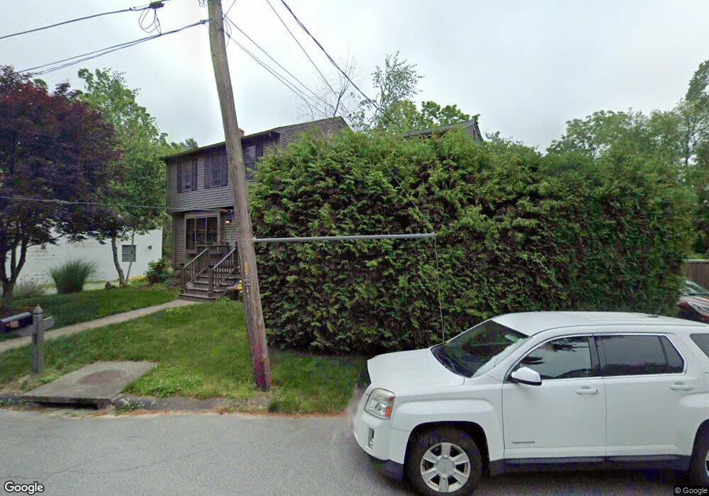
1102 Tobey St New Bedford, MA 02745
3
Beds
3
Baths
1,680
Sq Ft
0.3
Acres
About This Home
This home is located at 1102 Tobey St, New Bedford, MA 02745. 1102 Tobey St is a home located in Bristol County with nearby schools including Casimir Pulaski Elementary School, Normandin Middle School, and New Bedford High School.
Ownership History
Date
Name
Owned For
Owner Type
Purchase Details
Closed on
Jan 16, 2009
Sold by
Dean Carol Ann and Contois Christopher W
Bought by
Contois Christopher W and Contois Tiffany
Home Financials for this Owner
Home Financials are based on the most recent Mortgage that was taken out on this home.
Original Mortgage
$262,057
Outstanding Balance
$167,911
Interest Rate
5.52%
Mortgage Type
FHA
Purchase Details
Closed on
Apr 5, 2004
Sold by
Dean Carol Ann
Bought by
Dean Carol Ann and Contois Christopher W
Create a Home Valuation Report for This Property
The Home Valuation Report is an in-depth analysis detailing your home's value as well as a comparison with similar homes in the area
Home Values in the Area
Average Home Value in this Area
Purchase History
| Date | Buyer | Sale Price | Title Company |
|---|---|---|---|
| Contois Christopher W | -- | -- | |
| Contois Christopher W | -- | -- | |
| Dean Carol Ann | -- | -- | |
| Dean Carol Ann | -- | -- | |
| Dean Carol Ann | -- | -- |
Source: Public Records
Mortgage History
| Date | Status | Borrower | Loan Amount |
|---|---|---|---|
| Open | Dean Carol Ann | $262,057 | |
| Closed | Dean Carol Ann | $262,057 |
Source: Public Records
Tax History Compared to Growth
Tax History
| Year | Tax Paid | Tax Assessment Tax Assessment Total Assessment is a certain percentage of the fair market value that is determined by local assessors to be the total taxable value of land and additions on the property. | Land | Improvement |
|---|---|---|---|---|
| 2025 | -- | $418,200 | $119,200 | $299,000 |
| 2024 | -- | $400,900 | $133,200 | $267,700 |
| 2023 | $0 | $349,100 | $100,900 | $248,200 |
| 2022 | $0 | $310,100 | $96,400 | $213,700 |
| 2021 | $0 | $298,100 | $96,400 | $201,700 |
| 2020 | $0 | $294,400 | $96,400 | $198,000 |
| 2019 | $0 | $288,800 | $99,900 | $188,900 |
| 2018 | $0 | $271,400 | $99,900 | $171,500 |
| 2017 | $0 | $261,100 | $98,100 | $163,000 |
| 2016 | -- | $263,200 | $101,600 | $161,600 |
| 2015 | -- | $259,900 | $101,600 | $158,300 |
| 2014 | -- | $259,200 | $101,600 | $157,600 |
Source: Public Records
Map
Nearby Homes
- 1069 Cherokee St
- 16 Swallow St
- 13 Luscomb Ln
- 64 Blaze Rd
- 1573 Braley Rd Unit 39
- 26 Blueberry Dr
- 34 Poplar Rd
- 1599 Braley Rd Unit 68
- 4597 Acushnet Ave
- 210 Heritage Dr
- 1063 Westgate St
- 145 Heritage Dr
- SS Charbonneau Ln
- 2 Woodland Rd
- 62 Longview Rd
- 595 Quanapoag Rd
- 8 Holly Tree Ln
- 700 Pine Hill Dr
- 888 Hillcrest Rd
- 1269 Bartlett St
- 1092 Tobey St
- 1105 Tobey St
- 1099 Tobey St
- 1111 Tobey St
- 1113 Tobey St
- 1097 Tobey St
- 1090 Tobey St
- 1131 Sassaquin Ave
- 1137 Sassaquin Ave
- 1129 Sassaquin Ave
- 1088 Tobey St
- 1089 Tobey St
- 1123 Sassaquin Ave
- 1087 Tobey St
- 1143 Sassaquin Ave
- 1080 Tobey St
- 1111 Sassaquin Ave
- 1083 Tobey St
- 1134 Sassaquin Ave
- 1130 Sassaquin Ave