Estimated Value: $287,168 - $345,000
3
Beds
1
Bath
1,843
Sq Ft
$166/Sq Ft
Est. Value
About This Home
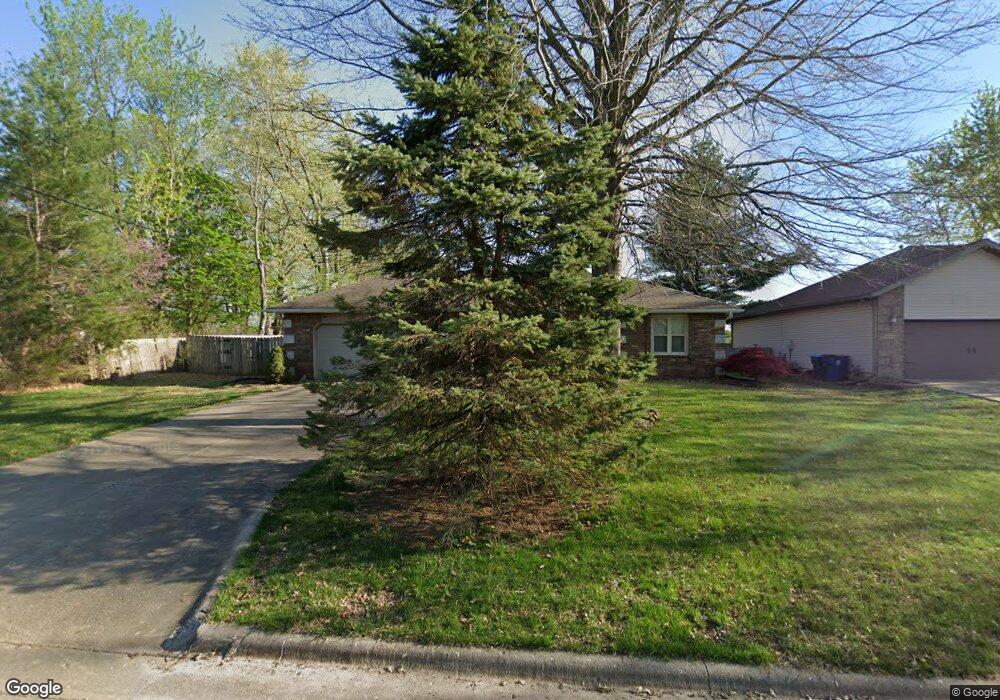
This home is located at 1102 W Avalon St, Nixa, MO 65714 and is currently estimated at $305,292, approximately $165 per square foot. 1102 W Avalon St is a home with nearby schools including P.S. 40 Samuel Huntington, Espy Elementary School, and Queens Gateway to Health Sciences Secondary School.
Ownership History
Date
Name
Owned For
Owner Type
Purchase Details
Closed on
Feb 2, 2021
Sold by
Dent Amy L and Dent Amy Lea
Bought by
Dent Amy L and Dent Amy L
Current Estimated Value
Purchase Details
Closed on
Aug 26, 2019
Sold by
Dent Andrew W and Dent Leslie A
Bought by
Dent Amy Lea
Home Financials for this Owner
Home Financials are based on the most recent Mortgage that was taken out on this home.
Original Mortgage
$142,500
Interest Rate
3.7%
Mortgage Type
New Conventional
Create a Home Valuation Report for This Property
The Home Valuation Report is an in-depth analysis detailing your home's value as well as a comparison with similar homes in the area
Home Values in the Area
Average Home Value in this Area
Purchase History
| Date | Buyer | Sale Price | Title Company |
|---|---|---|---|
| Dent Amy L | -- | None Available | |
| Dent Amy Lea | -- | Hogan Land Title Company | |
| Dent Amy Lea | -- | Hogan Land Title Company |
Source: Public Records
Mortgage History
| Date | Status | Borrower | Loan Amount |
|---|---|---|---|
| Closed | Dent Amy Lea | $142,500 |
Source: Public Records
Tax History Compared to Growth
Tax History
| Year | Tax Paid | Tax Assessment Tax Assessment Total Assessment is a certain percentage of the fair market value that is determined by local assessors to be the total taxable value of land and additions on the property. | Land | Improvement |
|---|---|---|---|---|
| 2024 | $1,671 | $26,810 | -- | -- |
| 2023 | $1,671 | $26,810 | $0 | $0 |
| 2022 | $1,554 | $24,910 | $0 | $0 |
| 2021 | $1,555 | $24,910 | $0 | $0 |
| 2020 | $1,415 | $21,640 | $0 | $0 |
| 2019 | $1,415 | $21,640 | $0 | $0 |
| 2018 | $1,319 | $21,640 | $0 | $0 |
| 2017 | $1,319 | $21,640 | $0 | $0 |
| 2016 | $1,298 | $21,640 | $0 | $0 |
| 2015 | $1,300 | $21,640 | $21,640 | $0 |
| 2014 | $1,265 | $21,580 | $0 | $0 |
| 2013 | $13 | $21,580 | $0 | $0 |
| 2011 | $13 | $43,160 | $0 | $0 |
Source: Public Records
Map
Nearby Homes
- 305 Meadow St
- 1334 W Mount Vernon St
- 304 N Bonda Way
- 502 Osage Dr
- 415 N Lewis Ct
- 1001 W Bryce Ln
- 907 Denali Dr
- 806 Honeysuckle Ln
- 1216 W Verna Ln
- 609 N Elderberry Ln
- 709 N Milton Dr
- 601 S Gregg Rd
- 613 N Baywood Dr
- 703 N Baywood Dr
- 705 N Baywood Dr
- 144 Cedar Heights Dr
- 717 N Milton Dr
- 711 N Baywood Dr
- 707 N Baywood Dr
- 403 S Bryant St
- 1104 Avalon St
- 107 N Gregg Rd
- 202 Meadow St
- 1106 W Avalon St
- 204 N Meadow St
- 1108 W Avalon St
- 103 N Gregg Rd
- 201 Meadow St
- 203 Meadow St
- 206 Meadow St
- 201 N Gregg Rd
- 205 N Maplecrest Dr
- 1202 W Avalon St
- 0 Dogwood Estates Unit 10820646
- 0 Dogwood Estates Unit 10920878
- 0 Dogwood Estates Unit 10918096
- 0 Dogwood Estates Unit 10918635
- 0 Dogwood Estates Unit 10918634
- 0 Dogwood Estates Unit 10919162
- 0 Dogwood Estates Unit 10919438