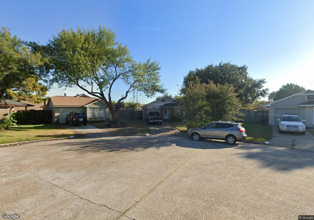
11020 Cottontop Ct Houston, TX 77086
North Houston NeighborhoodEstimated Value: $167,836 - $188,000
2
Beds
1
Bath
1,121
Sq Ft
$161/Sq Ft
Est. Value
About This Home
This home is located at 11020 Cottontop Ct, Houston, TX 77086 and is currently estimated at $179,959, approximately $160 per square foot. 11020 Cottontop Ct is a home located in Harris County with nearby schools including Kujawa EC/Pre-K/K School, Carmichael Elementary School, and Shotwell Middle School.
Ownership History
Date
Name
Owned For
Owner Type
Purchase Details
Closed on
Feb 3, 1999
Sold by
Mcknight Arthur D and Mcknight Krystyna
Bought by
Lazo Leonel R and Lazo Eloiza Majano
Current Estimated Value
Home Financials for this Owner
Home Financials are based on the most recent Mortgage that was taken out on this home.
Original Mortgage
$41,615
Outstanding Balance
$9,943
Interest Rate
6.85%
Mortgage Type
FHA
Estimated Equity
$170,016
Create a Home Valuation Report for This Property
The Home Valuation Report is an in-depth analysis detailing your home's value as well as a comparison with similar homes in the area
Home Values in the Area
Average Home Value in this Area
Purchase History
| Date | Buyer | Sale Price | Title Company |
|---|---|---|---|
| Lazo Leonel R | -- | -- |
Source: Public Records
Mortgage History
| Date | Status | Borrower | Loan Amount |
|---|---|---|---|
| Open | Lazo Leonel R | $41,615 |
Source: Public Records
Tax History Compared to Growth
Tax History
| Year | Tax Paid | Tax Assessment Tax Assessment Total Assessment is a certain percentage of the fair market value that is determined by local assessors to be the total taxable value of land and additions on the property. | Land | Improvement |
|---|---|---|---|---|
| 2025 | $1,403 | $164,597 | $35,260 | $129,337 |
| 2024 | $1,403 | $160,224 | $29,520 | $130,704 |
| 2023 | $1,403 | $162,439 | $29,520 | $132,919 |
| 2022 | $2,308 | $140,048 | $22,140 | $117,908 |
| 2021 | $2,204 | $118,594 | $22,140 | $96,454 |
| 2020 | $2,132 | $114,375 | $22,140 | $92,235 |
| 2019 | $2,064 | $108,820 | $22,140 | $86,680 |
| 2018 | $686 | $80,868 | $22,140 | $58,728 |
| 2017 | $1,810 | $80,868 | $22,140 | $58,728 |
| 2016 | $1,646 | $60,138 | $22,140 | $37,998 |
| 2015 | $911 | $58,941 | $12,300 | $46,641 |
| 2014 | $911 | $60,438 | $12,300 | $48,138 |
Source: Public Records
Map
Nearby Homes
- 7227 Greenyard Dr
- 7222 Northleaf Dr
- 7218 Winding Trace Dr
- 5010 Kale Ct
- 11007 Tobasa Ct
- 5103 Dartmoor Ridge Trail
- 10711 Heather Hill Dr
- 10723 Mackenzie Dr
- 7002 Sandswept Ln
- 7023 Sandswept Ln
- 10614 Mackenzie Dr
- 11006 Crinkleawn Dr
- 11021 Crenchrus Ct
- 11532 Champions Green Dr
- 6654 Brownie Campbell Rd
- 6722 Winding Trace Dr
- 10307 Bammel North Houston Rd
- 11009 Panicum Ct
- 6610 Northleaf Dr
- 6630 Brownie Campbell Rd
- 11022 Cottontop Ct
- 11021 Beaver Trail Dr
- 11016 Cottontop Ct
- 11025 Beaver Trail Dr
- 11024 Cottontop Ct
- 11017 Beaver Trail Dr
- 11014 Cottontop Ct
- 11015 Beaver Trail Dr
- 11012 Cottontop Ct
- 11024 Beaver Trail Dr
- 11025 Cottontop Ct
- 11021 Cottontop Ct
- 11017 Cottontop Ct
- 11011 Beaver Trail Dr
- 11008 Cottontop Ct
- 11015 Cottontop Ct
- 11009 Beaver Trail Dr
- 11022 Beaver Trail Dr
- 11011 Cottontop Ct
- 11006 Cottontop Ct