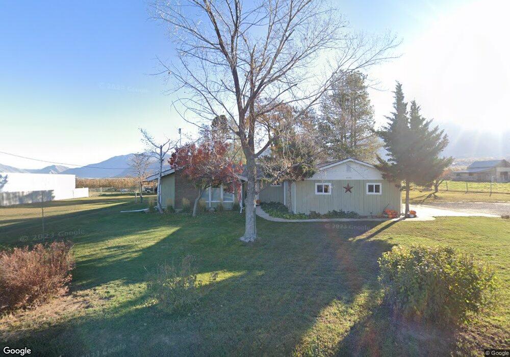
11021 S 2170 W Payson, UT 84651
Estimated Value: $623,000 - $686,007
5
Beds
3
Baths
3,036
Sq Ft
$218/Sq Ft
Est. Value
About This Home
This home is located at 11021 S 2170 W, Payson, UT 84651 and is currently estimated at $661,252, approximately $217 per square foot. 11021 S 2170 W is a home located in Utah County with nearby schools including Mt. Loafer Elementary School, Salem Junior High School, and Valley View Middle School.
Ownership History
Date
Name
Owned For
Owner Type
Purchase Details
Closed on
Feb 28, 2025
Sold by
Merrell Duane and Merrell Tammy Rae
Bought by
Merrell Family Living Trust and Merrell
Current Estimated Value
Purchase Details
Closed on
Apr 24, 2018
Sold by
Lorraine L Behling
Bought by
Merrell Duane and Merrell Tammy
Home Financials for this Owner
Home Financials are based on the most recent Mortgage that was taken out on this home.
Original Mortgage
$318,250
Interest Rate
4.47%
Purchase Details
Closed on
Jul 1, 2015
Sold by
Levanger Glowie L and Levanger Trust
Bought by
Behling Lorraine L and Behling Family Irrevocable Tru
Create a Home Valuation Report for This Property
The Home Valuation Report is an in-depth analysis detailing your home's value as well as a comparison with similar homes in the area
Home Values in the Area
Average Home Value in this Area
Purchase History
| Date | Buyer | Sale Price | Title Company |
|---|---|---|---|
| Merrell Family Living Trust | -- | None Listed On Document | |
| Merrell Duane | -- | -- | |
| Behling Lorraine L | -- | None Available |
Source: Public Records
Mortgage History
| Date | Status | Borrower | Loan Amount |
|---|---|---|---|
| Previous Owner | Merrell Duane | $318,250 | |
| Previous Owner | Merrell Duane | -- |
Source: Public Records
Tax History Compared to Growth
Tax History
| Year | Tax Paid | Tax Assessment Tax Assessment Total Assessment is a certain percentage of the fair market value that is determined by local assessors to be the total taxable value of land and additions on the property. | Land | Improvement |
|---|---|---|---|---|
| 2025 | $3,290 | $359,535 | $222,700 | $431,000 |
| 2024 | $3,290 | $328,900 | $0 | $0 |
| 2023 | $3,254 | $325,490 | $0 | $0 |
| 2022 | $2,945 | $289,355 | $0 | $0 |
| 2021 | $2,523 | $387,100 | $161,500 | $225,600 |
| 2020 | $2,418 | $360,200 | $134,600 | $225,600 |
| 2019 | $2,071 | $314,800 | $109,700 | $205,100 |
| 2018 | $1,950 | $283,600 | $89,700 | $193,900 |
| 2017 | $1,674 | $130,130 | $0 | $0 |
| 2016 | $1,705 | $128,535 | $0 | $0 |
| 2015 | -- | $121,440 | $0 | $0 |
| 2014 | $1,624 | $121,440 | $0 | $0 |
Source: Public Records
Map
Nearby Homes
- 753 N Emery Ln Unit 57
- 678 N Mountain View Dr
- 552 E Longview Dr Unit 29
- 350 E Meadow Lark Ln Unit 9
- 1000 S Goosenest Dr W
- 643 E Longview Dr Unit 8
- 942 W Wilcock Cove
- 4100 W 12400 S
- 761 N Birch Ln Unit 64
- 554 E Salem Hills Dr S Unit 2
- 61 S Lighthouse Cir Unit 14
- 627 E Birch N Unit 68
- 1287 S 500 E Unit 134
- 1352 N 1440 E Unit 21
- 526 E Sophie Cir Unit 1
- 700 S Hillside Dr E
- 792 N Mountain Dr
- 791 N Emery Ln Unit 55
- 648 N Cosette Cove E Unit 5
- 823 N Mountain View Dr Unit 62
- 10983 S 2170 W
- 11055 S 2170 W
- 11062 S 2170 W
- 10935 S 2170 W
- 10921 S 2170 W
- 10918 S 2170 W
- 10882 S 2170 W
- 2189 W Salem Canal Rd
- 2197 W Salem Canal Rd
- 2115 W Salem Canal Rd
- 2276 W Salem Canal Rd
- 2252 W Salem Canal Rd
- 645 S 1400 E
- 644 S 1400 E
- 644 S 1400 E Unit 33
- 1377 E Salem Canal Rd
- 1345 E Salem Canal Rd
- 633 S 1400 E
- 2053 W Salem Canal Rd
- 1594 N 1300 E