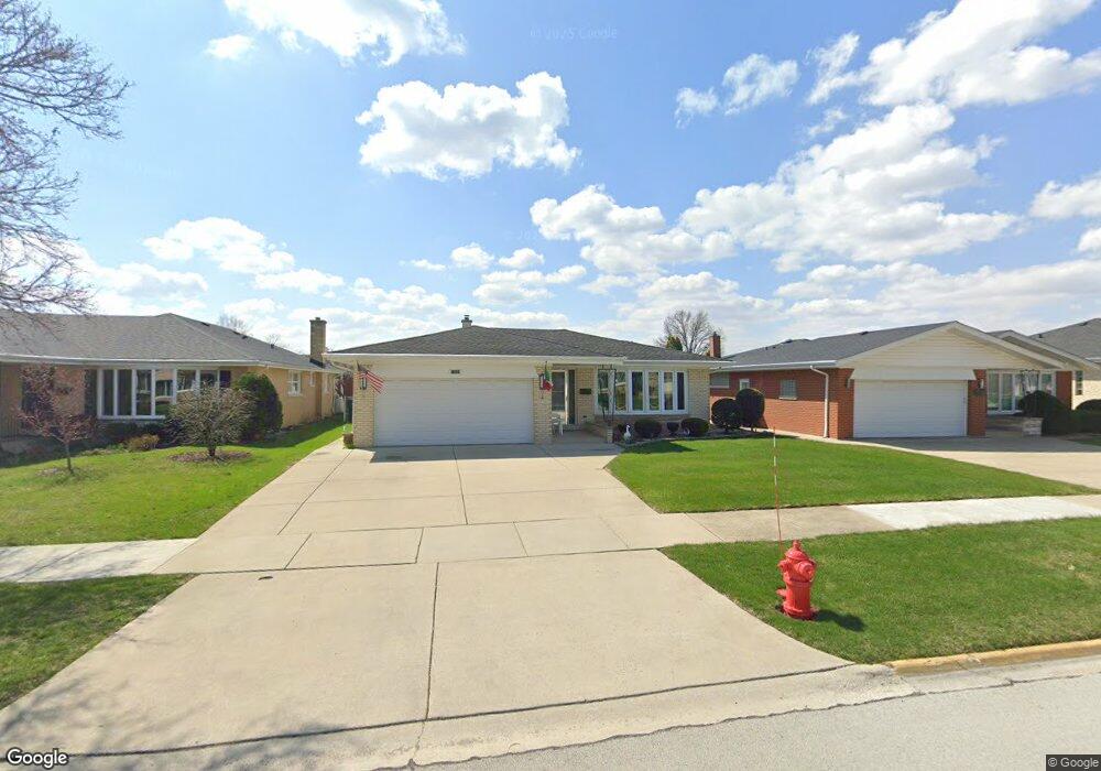
11023 Nelson St Westchester, IL 60154
Estimated Value: $452,000 - $481,000
4
Beds
3
Baths
1,893
Sq Ft
$247/Sq Ft
Est. Value
About This Home
This home is located at 11023 Nelson St, Westchester, IL 60154 and is currently estimated at $468,044, approximately $247 per square foot. 11023 Nelson St is a home located in Cook County with nearby schools including Westchester Primary School, Westchester Intermediate School, and Westchester Middle School.
Ownership History
Date
Name
Owned For
Owner Type
Purchase Details
Closed on
Mar 30, 1995
Sold by
Dullard Geraldine M
Bought by
Ricchio Frank and Ricchio Nancy
Current Estimated Value
Home Financials for this Owner
Home Financials are based on the most recent Mortgage that was taken out on this home.
Original Mortgage
$139,500
Interest Rate
6.62%
Create a Home Valuation Report for This Property
The Home Valuation Report is an in-depth analysis detailing your home's value as well as a comparison with similar homes in the area
Home Values in the Area
Average Home Value in this Area
Purchase History
| Date | Buyer | Sale Price | Title Company |
|---|---|---|---|
| Ricchio Frank | $186,000 | Intercounty Title |
Source: Public Records
Mortgage History
| Date | Status | Borrower | Loan Amount |
|---|---|---|---|
| Closed | Ricchio Frank | $139,500 |
Source: Public Records
Tax History Compared to Growth
Tax History
| Year | Tax Paid | Tax Assessment Tax Assessment Total Assessment is a certain percentage of the fair market value that is determined by local assessors to be the total taxable value of land and additions on the property. | Land | Improvement |
|---|---|---|---|---|
| 2024 | $4,051 | $33,321 | $4,868 | $28,453 |
| 2023 | $4,858 | $33,321 | $4,868 | $28,453 |
| 2022 | $4,858 | $25,428 | $4,219 | $21,209 |
| 2021 | $4,579 | $25,427 | $4,218 | $21,209 |
| 2020 | $4,168 | $25,427 | $4,218 | $21,209 |
| 2019 | $4,511 | $27,594 | $3,894 | $23,700 |
| 2018 | $4,459 | $27,594 | $3,894 | $23,700 |
| 2017 | $4,297 | $27,594 | $3,894 | $23,700 |
| 2016 | $5,468 | $24,193 | $3,569 | $20,624 |
| 2015 | $5,671 | $24,193 | $3,569 | $20,624 |
| 2014 | $5,456 | $24,193 | $3,569 | $20,624 |
| 2013 | $4,993 | $24,922 | $3,569 | $21,353 |
Source: Public Records
Map
Nearby Homes
- 10916 Kingston St
- 11140 Windsor Dr
- 16 Princess Ct Unit 16
- 2228 High Ridge Pkwy
- 2401 Mayfair Ave
- 2337 Kensington Ave
- 2925 Denton Ct
- 2130 Mandel Ave
- 2230 Kensington Ave
- 11148 Shelley St
- 2205 Mayfair Ave
- 10610 Essex St
- 2610 Sunnyside Ave
- 1948 Boeger Ave
- 11449 Prescott Ln
- 11157 Shaw St
- 2623 Sunnyside Ave
- 11513 Enterprise Dr
- 2550 Camberley Cir Unit 5-810
- 1847 Boeger Ave
- 11019 Nelson St
- 11029 Nelson St
- 11013 Nelson St
- 11033 Nelson St
- 11022 Kingston St
- 11018 Kingston St
- 11028 Kingston St
- 11012 Kingston St
- 11032 Kingston St
- 11009 Nelson St
- 11039 Nelson St
- 11020 Nelson St
- 11024 Nelson St
- 11016 Nelson St
- 11028 Nelson St
- 11038 Kingston St
- 11000 Kingston St
- 11001 Nelson St
- 11012 Nelson St
- 11036 Nelson St