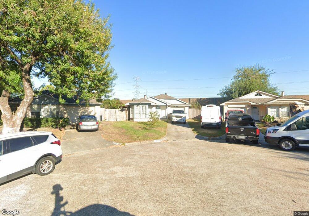
11025 Beaver Trail Dr Houston, TX 77086
North Houston NeighborhoodEstimated Value: $166,246 - $181,000
2
Beds
1
Bath
1,094
Sq Ft
$159/Sq Ft
Est. Value
About This Home
This home is located at 11025 Beaver Trail Dr, Houston, TX 77086 and is currently estimated at $174,312, approximately $159 per square foot. 11025 Beaver Trail Dr is a home located in Harris County with nearby schools including Kujawa EC/Pre-K/K School, Carmichael Elementary School, and Shotwell Middle School.
Ownership History
Date
Name
Owned For
Owner Type
Purchase Details
Closed on
Feb 9, 2018
Sold by
Vasquez Julio C and Vasquez Helen I
Bought by
Campos Blanca Deisy and Montalvo Stacy
Current Estimated Value
Purchase Details
Closed on
Sep 28, 2001
Sold by
Lam Luu Quang
Bought by
Vasquez Julio C and Vasquez Helen I
Home Financials for this Owner
Home Financials are based on the most recent Mortgage that was taken out on this home.
Original Mortgage
$54,566
Interest Rate
6.88%
Mortgage Type
FHA
Create a Home Valuation Report for This Property
The Home Valuation Report is an in-depth analysis detailing your home's value as well as a comparison with similar homes in the area
Home Values in the Area
Average Home Value in this Area
Purchase History
| Date | Buyer | Sale Price | Title Company |
|---|---|---|---|
| Campos Blanca Deisy | -- | American Title Co | |
| Vasquez Julio C | -- | -- |
Source: Public Records
Mortgage History
| Date | Status | Borrower | Loan Amount |
|---|---|---|---|
| Previous Owner | Vasquez Julio C | $54,566 |
Source: Public Records
Tax History Compared to Growth
Tax History
| Year | Tax Paid | Tax Assessment Tax Assessment Total Assessment is a certain percentage of the fair market value that is determined by local assessors to be the total taxable value of land and additions on the property. | Land | Improvement |
|---|---|---|---|---|
| 2025 | $3,265 | $166,326 | $37,475 | $128,851 |
| 2024 | $3,265 | $161,585 | $31,374 | $130,211 |
| 2023 | $3,265 | $163,787 | $31,374 | $132,413 |
| 2022 | $3,063 | $141,396 | $23,531 | $117,865 |
| 2021 | $2,734 | $120,140 | $23,531 | $96,609 |
| 2020 | $2,811 | $116,067 | $23,531 | $92,536 |
| 2019 | $2,850 | $110,514 | $23,531 | $86,983 |
| 2018 | $716 | $82,656 | $23,531 | $59,125 |
| 2017 | $1,863 | $82,656 | $23,531 | $59,125 |
| 2016 | $1,694 | $61,896 | $23,531 | $38,365 |
| 2015 | $1,521 | $60,176 | $13,073 | $47,103 |
| 2014 | $1,521 | $61,349 | $13,073 | $48,276 |
Source: Public Records
Map
Nearby Homes
- 7227 Greenyard Dr
- 7222 Northleaf Dr
- 7218 Winding Trace Dr
- 5010 Kale Ct
- 11007 Tobasa Ct
- 5103 Dartmoor Ridge Trail
- 10711 Heather Hill Dr
- 7002 Sandswept Ln
- 11006 Crinkleawn Dr
- 7023 Sandswept Ln
- 10723 Mackenzie Dr
- 10614 Mackenzie Dr
- 11021 Crenchrus Ct
- 6654 Brownie Campbell Rd
- 11532 Champions Green Dr
- 11009 Panicum Ct
- 6722 Winding Trace Dr
- 10307 Bammel North Houston Rd
- 6610 Northleaf Dr
- 6630 Brownie Campbell Rd
- 11021 Beaver Trail Dr
- 11024 Beaver Trail Dr
- 11020 Cottontop Ct
- 11022 Cottontop Ct
- 11017 Beaver Trail Dr
- 11022 Beaver Trail Dr
- 11016 Cottontop Ct
- 11015 Beaver Trail Dr
- 11020 Beaver Trail Dr
- 11024 Cottontop Ct
- 11016 Beaver Trail Dr
- 11014 Cottontop Ct
- 11011 Beaver Trail Dr
- 11014 Beaver Trail Dr
- 11012 Cottontop Ct
- 11025 Cottontop Ct
- 11009 Beaver Trail Dr
- 11025 Sacaton Dr
- 11012 Beaver Trail Dr
- 11021 Sacaton Dr