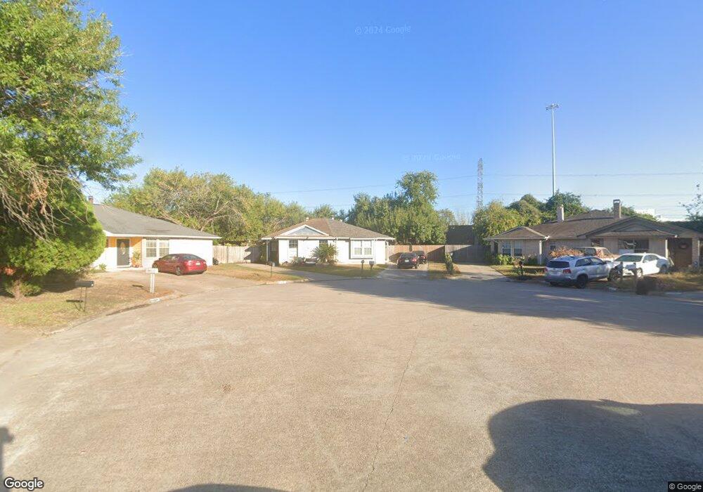
11025 Crenchrus Ct Houston, TX 77086
North Houston NeighborhoodEstimated Value: $145,000 - $160,000
2
Beds
2
Baths
1,137
Sq Ft
$136/Sq Ft
Est. Value
About This Home
This home is located at 11025 Crenchrus Ct, Houston, TX 77086 and is currently estimated at $155,140, approximately $136 per square foot. 11025 Crenchrus Ct is a home located in Harris County with nearby schools including Kujawa EC/Pre-K/K School, Carmichael Elementary School, and Shotwell Middle School.
Ownership History
Date
Name
Owned For
Owner Type
Purchase Details
Closed on
Aug 30, 2004
Sold by
Pakdaman Joseph H
Bought by
Lares Francisco
Current Estimated Value
Home Financials for this Owner
Home Financials are based on the most recent Mortgage that was taken out on this home.
Original Mortgage
$44,000
Interest Rate
5.97%
Mortgage Type
Purchase Money Mortgage
Purchase Details
Closed on
Nov 10, 1994
Sold by
Kent Reba
Bought by
Pakdaman Joseph H
Create a Home Valuation Report for This Property
The Home Valuation Report is an in-depth analysis detailing your home's value as well as a comparison with similar homes in the area
Home Values in the Area
Average Home Value in this Area
Purchase History
| Date | Buyer | Sale Price | Title Company |
|---|---|---|---|
| Lares Francisco | -- | First American Title | |
| Pakdaman Joseph H | -- | -- | |
| Pakdaman Joseph H | -- | -- |
Source: Public Records
Mortgage History
| Date | Status | Borrower | Loan Amount |
|---|---|---|---|
| Closed | Lares Francisco | $44,000 |
Source: Public Records
Tax History Compared to Growth
Tax History
| Year | Tax Paid | Tax Assessment Tax Assessment Total Assessment is a certain percentage of the fair market value that is determined by local assessors to be the total taxable value of land and additions on the property. | Land | Improvement |
|---|---|---|---|---|
| 2025 | $2,746 | $142,852 | $30,399 | $112,453 |
| 2024 | $2,746 | $135,904 | $25,451 | $110,453 |
| 2023 | $2,746 | $135,904 | $25,451 | $110,453 |
| 2022 | $2,429 | $112,111 | $15,907 | $96,204 |
| 2021 | $2,344 | $102,999 | $15,907 | $87,092 |
| 2020 | $2,131 | $95,619 | $15,907 | $79,712 |
| 2019 | $2,282 | $88,505 | $15,907 | $72,598 |
| 2018 | $1,016 | $70,751 | $15,907 | $54,844 |
| 2017 | $1,497 | $54,695 | $10,604 | $44,091 |
| 2016 | $1,606 | $58,686 | $10,604 | $48,082 |
| 2015 | $1,055 | $53,874 | $10,604 | $43,270 |
| 2014 | $1,055 | $39,694 | $10,604 | $29,090 |
Source: Public Records
Map
Nearby Homes
- 11009 Panicum Ct
- 11021 Crenchrus Ct
- 11006 Crinkleawn Dr
- 6610 Northleaf Dr
- 6630 Brownie Campbell Rd
- 6654 Brownie Campbell Rd
- 11007 Tobasa Ct
- 6722 Winding Trace Dr
- 6615 Winding Trace Dr
- 10522 Northview Dr
- 7002 Sandswept Ln
- 6502 Trail Valley Way
- 7218 Winding Trace Dr
- 13610 Kaltenbrun Rd
- 7023 Sandswept Ln
- 7222 Northleaf Dr
- 7227 Greenyard Dr
- 13518 Kaltenbrun Rd
- 5010 Kale Ct
- 6911 Silver Star Dr
- 11024 Crenchrus Ct
- 11023 Crenchrus Ct
- 11022 Crenchrus Ct
- 11019 Crenchrus Ct
- 11020 Crenchrus Ct
- 11017 Crenchrus Ct
- 11018 Crenchrus Ct
- 11020 Tridens Ct
- 11022 Tridens Ct
- 11018 Tridens Ct
- 11016 Crenchrus Ct
- 11015 Crenchrus Ct
- 11014 Crenchrus Ct
- 11021 Panicum Ct
- 11016 Tridens Ct
- 11013 Crenchrus Ct
- 11023 Panicum Ct
- 11019 Panicum Ct
- 11024 Tridens Ct
- 11012 Crenchrus Ct