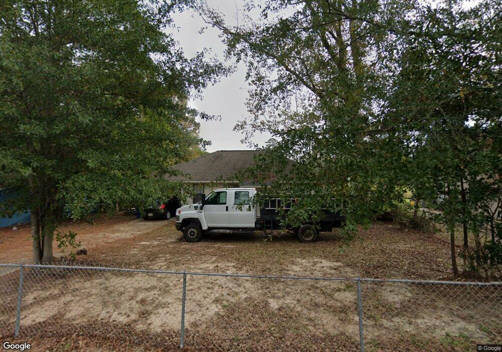
1103 Anderson Dr Leesville, LA 71446
Estimated Value: $94,000 - $122,000
2
Beds
1
Bath
1,072
Sq Ft
$100/Sq Ft
Est. Value
About This Home
This home is located at 1103 Anderson Dr, Leesville, LA 71446 and is currently estimated at $107,075, approximately $99 per square foot. 1103 Anderson Dr is a home located in Vernon Parish with nearby schools including First Assembly Christian Academy, Faith Training Christian Academy Elementary, and Faith Training Christian Academy.
Ownership History
Date
Name
Owned For
Owner Type
Purchase Details
Closed on
Mar 31, 2011
Sold by
Dowden Teddie R and Dowden Donna Chance
Bought by
Patel Mayur and Patel Yogita
Current Estimated Value
Purchase Details
Closed on
Feb 16, 2009
Sold by
Keller Timothy M and Keller Greta Jeane Rowe
Bought by
Dowden Teddie and Dowden Donna Sheryl Chance
Home Financials for this Owner
Home Financials are based on the most recent Mortgage that was taken out on this home.
Original Mortgage
$4,500
Interest Rate
4.92%
Mortgage Type
Purchase Money Mortgage
Create a Home Valuation Report for This Property
The Home Valuation Report is an in-depth analysis detailing your home's value as well as a comparison with similar homes in the area
Home Values in the Area
Average Home Value in this Area
Purchase History
| Date | Buyer | Sale Price | Title Company |
|---|---|---|---|
| Patel Mayur | $75,000 | -- | |
| Dowden Teddie | $4,500 | -- |
Source: Public Records
Mortgage History
| Date | Status | Borrower | Loan Amount |
|---|---|---|---|
| Previous Owner | Dowden Teddie | $4,500 |
Source: Public Records
Tax History Compared to Growth
Tax History
| Year | Tax Paid | Tax Assessment Tax Assessment Total Assessment is a certain percentage of the fair market value that is determined by local assessors to be the total taxable value of land and additions on the property. | Land | Improvement |
|---|---|---|---|---|
| 2024 | $951 | $8,080 | $450 | $7,630 |
| 2023 | $874 | $7,450 | $450 | $7,000 |
| 2022 | $859 | $7,450 | $450 | $7,000 |
| 2021 | $914 | $7,450 | $450 | $7,000 |
| 2020 | $942 | $7,450 | $450 | $7,000 |
| 2019 | $972 | $7,450 | $450 | $7,000 |
| 2018 | $968 | $7,450 | $450 | $7,000 |
| 2017 | $967 | $7,450 | $450 | $7,000 |
| 2015 | $944 | $7,450 | $450 | $7,000 |
| 2014 | $845 | $7,450 | $450 | $7,000 |
| 2013 | $1,002 | $7,450 | $450 | $7,000 |
Source: Public Records
Map
Nearby Homes
- 1112 Anderson Dr
- 1110 Spruce St
- 1008 Spruce St
- 0 Aaron Milton and Karen Lots Unit 29-1413
- 917 Kings Rd
- 915 Kings Rd
- 2105 Miriam St
- 1301 Oak Dr
- 1402 Aaron Ave
- 907 Dennis Ave
- 1023 Anderson Dr
- 1404 Aaron Ave
- 1007 Pinckney Ave
- 1314 Oak Dr
- 1104 John Paul Jones Ave
- 1009 Anderson Dr
- 1005 Anderson Dr Unit Drive
- 801 Kings Rd
- 803 Marvin Ave
- 2001 Ginger St
- 1101 Anderson Dr
- 1104 Anderson Dr
- 1100 Anderson Dr
- 1109 Anderson Dr
- 1109 Anderson Dr
- 1102 Anderson Dr
- 1102 Anderson Dr Unit 1
- 1061 Anderson Dr
- 1108 Anderson Dr
- 1111 Anderson Dr Unit Drive
- 1059 Anderson Dr
- 1110 Anderson Dr
- 1113 Anderson Dr
- 1050 Anderson Dr
- 1107 Spruce St
- 1107 Spruce St
- 1115 Anderson Dr
- 1103 Spruce St
- 1103 Spruce St
- 1105 Spruce St