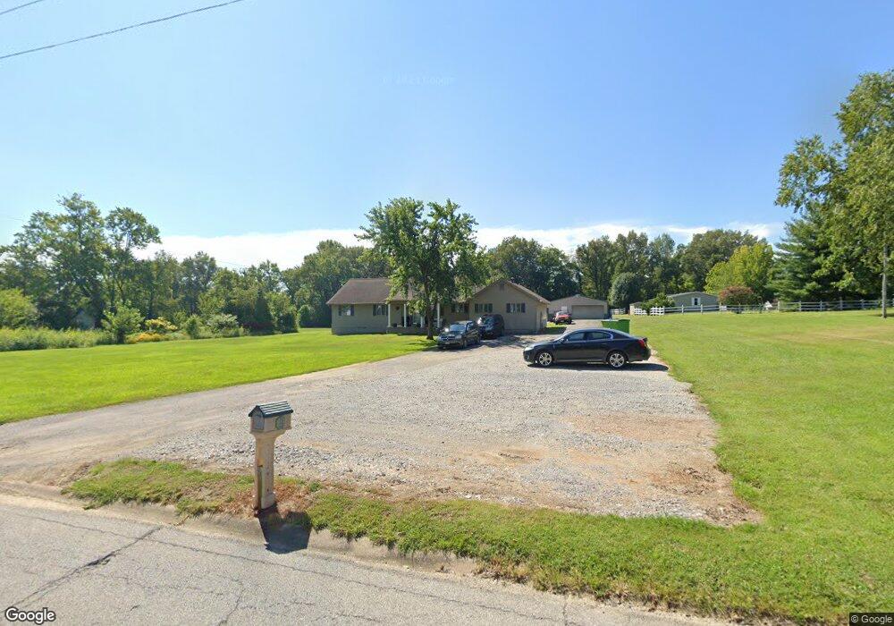
1103 Dorris Heights Rd Harrisburg, IL 62946
Estimated Value: $168,000 - $224,000
--
Bed
--
Bath
--
Sq Ft
2.14
Acres
About This Home
This home is located at 1103 Dorris Heights Rd, Harrisburg, IL 62946 and is currently estimated at $207,230. 1103 Dorris Heights Rd is a home located in Saline County with nearby schools including East Side Intermediate School, Harrisburg Middle School, and Harrisburg High School.
Ownership History
Date
Name
Owned For
Owner Type
Purchase Details
Closed on
Jun 1, 2020
Sold by
Parker Lloyd L
Bought by
Parker Lloyd L and Parker Stacia N
Current Estimated Value
Home Financials for this Owner
Home Financials are based on the most recent Mortgage that was taken out on this home.
Original Mortgage
$137,000
Outstanding Balance
$94,205
Interest Rate
2.25%
Mortgage Type
New Conventional
Estimated Equity
$113,025
Purchase Details
Closed on
Nov 18, 2016
Sold by
Wilson Larry J and Wilson Debra L
Bought by
Parker Lloyd L
Home Financials for this Owner
Home Financials are based on the most recent Mortgage that was taken out on this home.
Original Mortgage
$112,000
Interest Rate
3.62%
Mortgage Type
New Conventional
Purchase Details
Closed on
Aug 4, 2006
Sold by
Ferrell Kara and Ferrell Rick
Bought by
Wilson Larry J and Wilson Debra L
Home Financials for this Owner
Home Financials are based on the most recent Mortgage that was taken out on this home.
Original Mortgage
$100,800
Interest Rate
7.25%
Mortgage Type
Future Advance Clause Open End Mortgage
Create a Home Valuation Report for This Property
The Home Valuation Report is an in-depth analysis detailing your home's value as well as a comparison with similar homes in the area
Home Values in the Area
Average Home Value in this Area
Purchase History
| Date | Buyer | Sale Price | Title Company |
|---|---|---|---|
| Parker Lloyd L | -- | Attorney | |
| Parker Lloyd L | $140,000 | Attorney | |
| Wilson Larry J | -- | None Available |
Source: Public Records
Mortgage History
| Date | Status | Borrower | Loan Amount |
|---|---|---|---|
| Open | Parker Lloyd L | $137,000 | |
| Closed | Parker Lloyd L | $112,000 | |
| Previous Owner | Wilson Larry J | $100,800 |
Source: Public Records
Tax History Compared to Growth
Tax History
| Year | Tax Paid | Tax Assessment Tax Assessment Total Assessment is a certain percentage of the fair market value that is determined by local assessors to be the total taxable value of land and additions on the property. | Land | Improvement |
|---|---|---|---|---|
| 2024 | $4,942 | $62,432 | $7,178 | $55,254 |
| 2023 | $4,531 | $52,917 | $6,084 | $46,833 |
| 2022 | $4,328 | $47,895 | $5,735 | $42,160 |
| 2021 | $4,498 | $49,375 | $5,912 | $43,463 |
| 2020 | $4,429 | $47,895 | $5,735 | $42,160 |
| 2019 | $4,511 | $47,895 | $5,735 | $42,160 |
| 2018 | $4,560 | $47,895 | $5,735 | $42,160 |
| 2017 | $4,491 | $47,895 | $5,735 | $42,160 |
| 2016 | $44 | $47,895 | $5,735 | $42,160 |
| 2015 | -- | $47,895 | $5,735 | $42,160 |
| 2014 | $4,128 | $47,895 | $5,735 | $42,160 |
| 2013 | $4,128 | $47,895 | $5,735 | $42,160 |
| 2012 | $4,128 | $47,895 | $5,735 | $42,160 |
Source: Public Records
Map
Nearby Homes
- 1120 Dorris Heights Rd
- 204 N Sherman St
- 111 W Midkiff St
- 430 W Church St
- 216 W Poplar St
- 504 W South St
- 202 W Poplar St
- 205 S Shaw St
- 305 W Church St
- 827 W Raymond St
- 405 S Shaw St
- 104 Hickory St
- 0 Ron Crank Dr Unit EB441387
- 210 W Lincoln St
- 305 W Lincoln St
- 215 S Jackson St
- 311 W Poplar St
- 500 W Sloan St
- 18 S Mill St
- 520 S Mckinley St
- 1013 Dorris Heights Rd
- 1306 Cypress St
- 1105 Dorris Heights Rd
- 1100 Dorris Heights Rd
- 1020 Dorris Heights Rd
- 1305 Cypress St
- 1008 Dorris Heights Rd
- 1205 Dorris Heights Rd
- 1024 Beggs St
- 917 Dorris Heights Rd
- 1012 Beggs St
- 1601 Grape St
- 1615 Grape St
- 1020 Beggs St
- 920 Dorris Heights Rd
- 1301 Cypress St
- 912 Dorris Heights Rd
- 1621 Grape St
- 1620 Grove St
- 1017 Cedar St