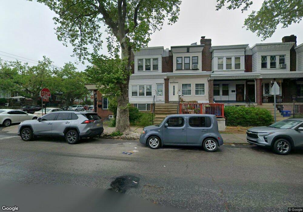
1103 E Sanger St Philadelphia, PA 19124
Frankford NeighborhoodEstimated Value: $202,420 - $220,000
3
Beds
1
Bath
1,222
Sq Ft
$170/Sq Ft
Est. Value
About This Home
This home is located at 1103 E Sanger St, Philadelphia, PA 19124 and is currently estimated at $208,105, approximately $170 per square foot. 1103 E Sanger St is a home located in Philadelphia County with nearby schools including Frankford High School, The Philadelphia Charter School for the Arts & Sciences, and Northwood Academy Charter School.
Ownership History
Date
Name
Owned For
Owner Type
Purchase Details
Closed on
Jun 21, 2010
Sold by
Cody Monica Ann and Estate Of Marie T Taylor
Bought by
Cuffee Patricia A
Current Estimated Value
Home Financials for this Owner
Home Financials are based on the most recent Mortgage that was taken out on this home.
Original Mortgage
$78,551
Outstanding Balance
$52,391
Interest Rate
4.95%
Mortgage Type
FHA
Estimated Equity
$155,714
Create a Home Valuation Report for This Property
The Home Valuation Report is an in-depth analysis detailing your home's value as well as a comparison with similar homes in the area
Home Values in the Area
Average Home Value in this Area
Purchase History
| Date | Buyer | Sale Price | Title Company |
|---|---|---|---|
| Cuffee Patricia A | $80,000 | None Available |
Source: Public Records
Mortgage History
| Date | Status | Borrower | Loan Amount |
|---|---|---|---|
| Open | Cuffee Patricia A | $78,551 |
Source: Public Records
Tax History Compared to Growth
Tax History
| Year | Tax Paid | Tax Assessment Tax Assessment Total Assessment is a certain percentage of the fair market value that is determined by local assessors to be the total taxable value of land and additions on the property. | Land | Improvement |
|---|---|---|---|---|
| 2026 | $2,006 | $174,100 | $34,820 | $139,280 |
| 2025 | $2,006 | $174,100 | $34,820 | $139,280 |
| 2024 | $2,006 | $174,100 | $34,820 | $139,280 |
| 2023 | $2,006 | $143,300 | $28,600 | $114,700 |
| 2022 | $1,446 | $143,300 | $28,600 | $114,700 |
| 2021 | $1,446 | $0 | $0 | $0 |
| 2020 | $1,446 | $0 | $0 | $0 |
| 2019 | $1,387 | $0 | $0 | $0 |
| 2018 | $1,369 | $0 | $0 | $0 |
| 2017 | $1,369 | $0 | $0 | $0 |
| 2016 | $1,369 | $0 | $0 | $0 |
| 2015 | $1,311 | $0 | $0 | $0 |
| 2014 | -- | $97,800 | $18,579 | $79,221 |
| 2012 | -- | $13,408 | $1,625 | $11,783 |
Source: Public Records
Map
Nearby Homes
- 1431 Rosalie St
- 1209 E Sanger St
- 1137 Bridge St
- 5347 Sylvester St
- 1244 E Sanger St
- 5902 E Roosevelt Blvd
- 1048 Bridge St
- 1530 Van Kirk St
- 5451 Oakland St
- 7753 E Roosevelt Blvd
- 5422 Akron St
- 7600 E Roosevelt Blvd Unit 206
- 7600 E Roosevelt Blvd Unit 212
- 7600 E Roosevelt Blvd Unit 909
- 7600 E Roosevelt Blvd Unit 705
- 7600 E Roosevelt Blvd Unit 701
- 7600 E Roosevelt Blvd Unit 806
- 7600 E Roosevelt Blvd Unit 904
- 7600 E Roosevelt Blvd Unit 604
- 6632 E Roosevelt Blvd
- 1105 E Sanger St
- 1101 E Sanger St
- 1107 E Sanger St
- 1109 E Sanger St
- 1111 E Sanger St
- 1113 E Sanger St
- 1115 E Sanger St
- 1102 Anchor St
- 1100 Anchor St
- 1104 Anchor St
- 1117 E Sanger St
- 1106 Anchor St
- 1108 Anchor St
- 5361 Large St
- 1119 E Sanger St
- 1110 Anchor St
- 5359 Large St
- 1121 E Sanger St
- 5404 Large St
- 5400 Large St Unit 1ST FL