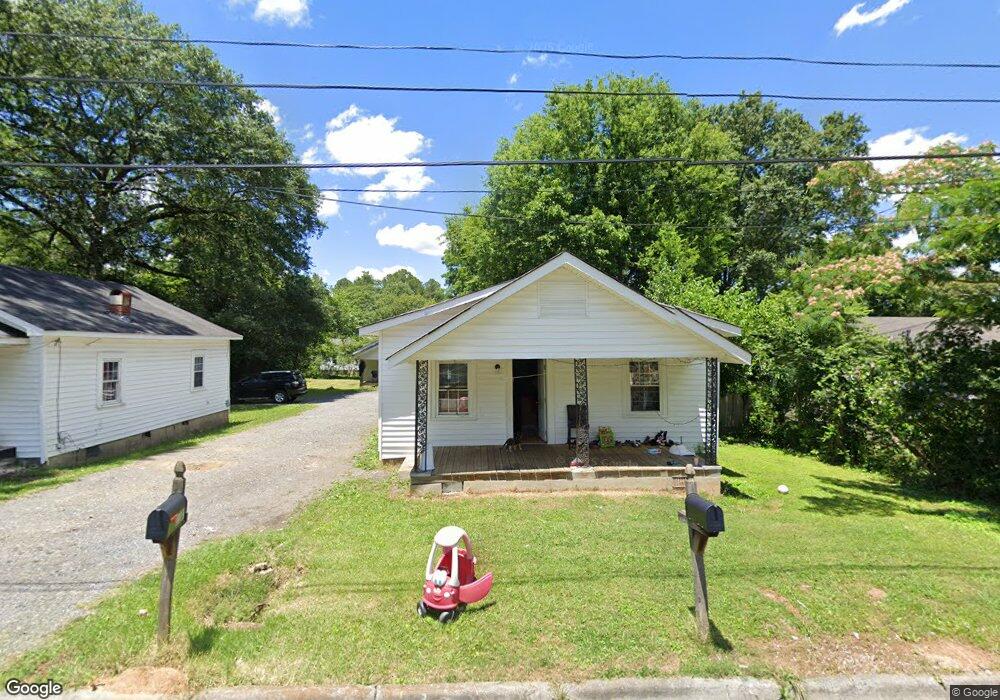
1103 Foster St Dalton, GA 30721
Estimated Value: $191,000 - $322,000
--
Bed
1
Bath
672
Sq Ft
$420/Sq Ft
Est. Value
About This Home
This home is located at 1103 Foster St, Dalton, GA 30721 and is currently estimated at $282,166, approximately $419 per square foot. 1103 Foster St is a home located in Whitfield County with nearby schools including Roan Elementary School, Dalton Middle School, and Dalton High School.
Ownership History
Date
Name
Owned For
Owner Type
Purchase Details
Closed on
Jun 1, 1998
Bought by
Perez Octavio
Current Estimated Value
Create a Home Valuation Report for This Property
The Home Valuation Report is an in-depth analysis detailing your home's value as well as a comparison with similar homes in the area
Home Values in the Area
Average Home Value in this Area
Purchase History
| Date | Buyer | Sale Price | Title Company |
|---|---|---|---|
| Perez Octavio | $74,000 | -- |
Source: Public Records
Tax History Compared to Growth
Tax History
| Year | Tax Paid | Tax Assessment Tax Assessment Total Assessment is a certain percentage of the fair market value that is determined by local assessors to be the total taxable value of land and additions on the property. | Land | Improvement |
|---|---|---|---|---|
| 2024 | $1,368 | $121,472 | $8,400 | $113,072 |
| 2023 | $1,368 | $36,821 | $5,400 | $31,421 |
| 2022 | $1,331 | $38,642 | $5,400 | $33,242 |
| 2021 | $1,333 | $38,642 | $5,400 | $33,242 |
| 2020 | $1,385 | $38,642 | $5,400 | $33,242 |
| 2019 | $1,428 | $38,642 | $5,400 | $33,242 |
| 2018 | $1,449 | $38,642 | $5,400 | $33,242 |
| 2017 | $1,478 | $38,642 | $5,400 | $33,242 |
| 2016 | $1,304 | $35,890 | $3,570 | $32,320 |
| 2014 | $1,184 | $35,890 | $3,570 | $32,320 |
| 2013 | -- | $35,889 | $3,570 | $32,319 |
Source: Public Records
Map
Nearby Homes
- 301B Fields Ave
- 204 N Bogle St
- 1118 Dozier St
- 303 Janice St
- 825 Martin Luther King jr Blvd
- 1407 Stacy Dr
- 0 Robinwood Dr
- 502 E Woodland Dr
- 711 E Morris St
- 533 Underwood St
- 519 Abigail St
- 606 Virginia Ave
- 432 4th Ave
- 503 Harris St
- 311 Shady Ln
- 0 Dogwood Dr
- 230 Henderson St
- 404 Paige St
- 540 Stillwood Dr
- 0 Underwood St Unit 129860