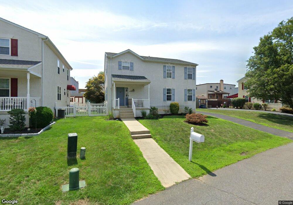
1103 Green Ln Secane, PA 19018
Estimated Value: $320,000 - $393,000
3
Beds
3
Baths
1,872
Sq Ft
$187/Sq Ft
Est. Value
About This Home
This home is located at 1103 Green Ln, Secane, PA 19018 and is currently estimated at $350,364, approximately $187 per square foot. 1103 Green Ln is a home located in Delaware County with nearby schools including Primos El School, Drexel Hill Middle School, and Upper Darby High School.
Ownership History
Date
Name
Owned For
Owner Type
Purchase Details
Closed on
Sep 26, 1996
Sold by
Green Lane Development Inc
Bought by
Byrne Joseph B and Byrne Patricia M
Current Estimated Value
Home Financials for this Owner
Home Financials are based on the most recent Mortgage that was taken out on this home.
Original Mortgage
$132,900
Outstanding Balance
$12,387
Interest Rate
8.26%
Estimated Equity
$337,977
Create a Home Valuation Report for This Property
The Home Valuation Report is an in-depth analysis detailing your home's value as well as a comparison with similar homes in the area
Home Values in the Area
Average Home Value in this Area
Purchase History
| Date | Buyer | Sale Price | Title Company |
|---|---|---|---|
| Byrne Joseph B | $139,900 | -- |
Source: Public Records
Mortgage History
| Date | Status | Borrower | Loan Amount |
|---|---|---|---|
| Open | Byrne Joseph B | $132,900 |
Source: Public Records
Tax History Compared to Growth
Tax History
| Year | Tax Paid | Tax Assessment Tax Assessment Total Assessment is a certain percentage of the fair market value that is determined by local assessors to be the total taxable value of land and additions on the property. | Land | Improvement |
|---|---|---|---|---|
| 2025 | $8,656 | $204,670 | $43,900 | $160,770 |
| 2024 | $8,656 | $204,670 | $43,900 | $160,770 |
| 2023 | $8,574 | $204,670 | $43,900 | $160,770 |
| 2022 | $8,344 | $204,670 | $43,900 | $160,770 |
| 2021 | $11,250 | $204,670 | $43,900 | $160,770 |
| 2020 | $8,689 | $134,330 | $37,810 | $96,520 |
| 2019 | $8,537 | $134,330 | $37,810 | $96,520 |
| 2018 | $8,438 | $134,330 | $0 | $0 |
| 2017 | $8,219 | $134,330 | $0 | $0 |
| 2016 | $737 | $134,330 | $0 | $0 |
| 2015 | $752 | $134,330 | $0 | $0 |
| 2014 | $737 | $134,330 | $0 | $0 |
Source: Public Records
Map
Nearby Homes
- 1114 Wynnbrook Rd
- 1012 Brook Ave
- 1117 Tremont Dr
- 900 Maple Ave
- 1024 Oakwood Dr
- 821 Lawnton Terrace
- 816 South Ave Unit K1
- 816 South Ave Unit K9
- 814 South Ave Unit J6
- 719 Beech Ave
- 804 South Ave Unit D7
- 1102 Primos Ave
- 2815 Quaint St
- 662 S Oak Ave
- 631 Beech Ave
- 653 Rively Ave
- 1106 Belmont Ave
- 860 Wyndom Terrace
- 707 Crescent Dr
- 2379 Mole Rd
- 1105 Green Ln
- 1101 Green Ln
- 1276 Nicole Ln
- 1107 Green Ln
- 1270 Nicole Ln
- 628 Ashland Ave
- 1102 Green Ln
- 1268 Nicole Ln
- 1250 Nicole Ln
- 1109 Green Ln
- 1104 Green Ln
- 1030 Green Ln
- 705 Ashland Ave
- 1266 Nicole Ln
- 1102 Brookwood Ln
- 1104 Brookwood Ln
- 707 Ashland Ave
- 626 Ashland Ave
- 1130 Brookwood Ln
- 1264 Nicole Ln