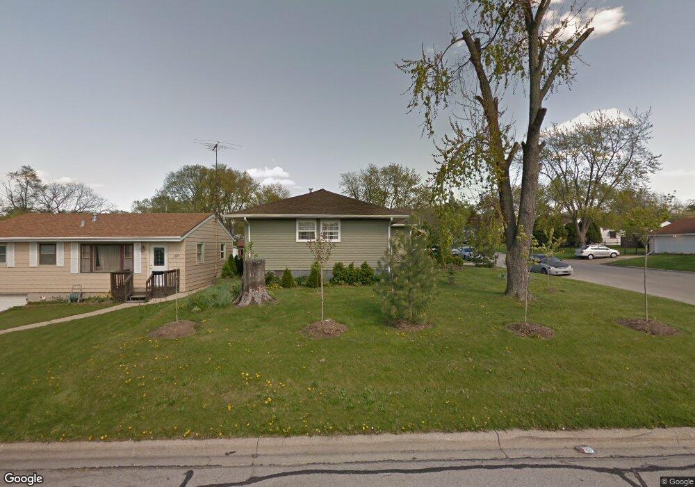
1103 High St Aurora, IL 60505
Pigeon Hill NeighborhoodEstimated Value: $225,650 - $311,000
3
Beds
1
Bath
1,152
Sq Ft
$229/Sq Ft
Est. Value
About This Home
This home is located at 1103 High St, Aurora, IL 60505 and is currently estimated at $263,913, approximately $229 per square foot. 1103 High St is a home located in Kane County with nearby schools including Nicholas A Hermes Elementary School, Simmons Middle School, and East Aurora High School.
Ownership History
Date
Name
Owned For
Owner Type
Purchase Details
Closed on
Jul 25, 2003
Sold by
Kearns Rosie M
Bought by
Acevedo Jose A and Acevedo Rafael
Current Estimated Value
Home Financials for this Owner
Home Financials are based on the most recent Mortgage that was taken out on this home.
Original Mortgage
$132,815
Outstanding Balance
$57,996
Interest Rate
5.62%
Mortgage Type
FHA
Estimated Equity
$205,917
Purchase Details
Closed on
Apr 14, 1998
Sold by
Kearns John S
Bought by
Kearns Rosie M
Create a Home Valuation Report for This Property
The Home Valuation Report is an in-depth analysis detailing your home's value as well as a comparison with similar homes in the area
Home Values in the Area
Average Home Value in this Area
Purchase History
| Date | Buyer | Sale Price | Title Company |
|---|---|---|---|
| Acevedo Jose A | $135,000 | Law Title Insurance Co Inc | |
| Kearns Rosie M | -- | -- |
Source: Public Records
Mortgage History
| Date | Status | Borrower | Loan Amount |
|---|---|---|---|
| Open | Acevedo Jose A | $132,815 |
Source: Public Records
Tax History
| Year | Tax Paid | Tax Assessment Tax Assessment Total Assessment is a certain percentage of the fair market value that is determined by local assessors to be the total taxable value of land and additions on the property. | Land | Improvement |
|---|---|---|---|---|
| 2024 | $3,608 | $60,634 | $9,716 | $50,918 |
| 2023 | $3,451 | $54,176 | $8,681 | $45,495 |
| 2022 | $3,300 | $49,431 | $7,921 | $41,510 |
| 2021 | $3,231 | $46,021 | $7,375 | $38,646 |
| 2020 | $3,056 | $42,746 | $6,850 | $35,896 |
| 2019 | $3,431 | $44,934 | $6,347 | $38,587 |
| 2018 | $3,195 | $41,087 | $5,871 | $35,216 |
| 2017 | $3,005 | $36,639 | $5,410 | $31,229 |
| 2016 | $3,020 | $34,698 | $5,455 | $29,243 |
| 2015 | -- | $32,053 | $4,691 | $27,362 |
| 2014 | -- | $32,402 | $4,311 | $28,091 |
| 2013 | -- | $32,537 | $4,846 | $27,691 |
Source: Public Records
Map
Nearby Homes
- 1009 Assell Ave
- 1220 Mitchell Rd
- 304 Hankes Ave
- 920 Zenner Ave
- 773 Aurora Ave
- 1160 N Ohio St Unit 62
- 953 Sheffer Rd
- 907 Harley Ct
- 14-18 N Lake St
- 617 Cleveland St
- 611 Pierce St
- 1060 N Farnsworth Ave Unit 1105
- 1110 N Farnsworth Ave Unit 213
- 1110 N Farnsworth Ave Unit 211
- 1578 Colleen Ln
- 338 Lakelawn Blvd
- 0000 N Farnsworth Ave
- 747 Delius St
- 608 Front St
- 479 N Lake St
Your Personal Tour Guide
Ask me questions while you tour the home.