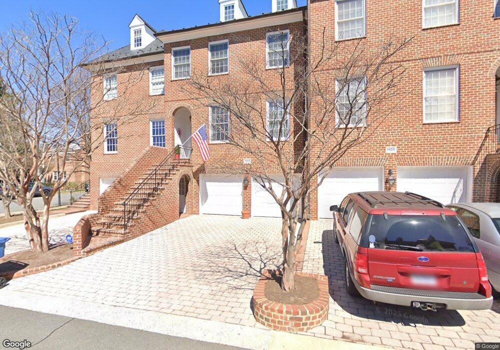
1103 Kensington Rd McLean, VA 22101
Estimated Value: $1,394,000 - $1,434,000
4
Beds
5
Baths
2,768
Sq Ft
$509/Sq Ft
Est. Value
About This Home
This home is located at 1103 Kensington Rd, McLean, VA 22101 and is currently estimated at $1,408,827, approximately $508 per square foot. 1103 Kensington Rd is a home located in Fairfax County with nearby schools including Churchill Road Elementary School, Cooper Middle School, and Langley High School.
Ownership History
Date
Name
Owned For
Owner Type
Purchase Details
Closed on
Jan 18, 2018
Sold by
Wilson James S and Wilson Cynthia B
Bought by
Wilson James S and James S Wilson Revocable Trust
Current Estimated Value
Purchase Details
Closed on
Oct 8, 2004
Sold by
Lenhardt Raymond A
Bought by
Wilson James S
Home Financials for this Owner
Home Financials are based on the most recent Mortgage that was taken out on this home.
Original Mortgage
$600,000
Outstanding Balance
$298,543
Interest Rate
5.84%
Mortgage Type
New Conventional
Estimated Equity
$1,110,284
Purchase Details
Closed on
Apr 29, 1998
Sold by
Scott Courtney L
Bought by
Lenhardt Raymond A
Home Financials for this Owner
Home Financials are based on the most recent Mortgage that was taken out on this home.
Original Mortgage
$300,000
Interest Rate
7.04%
Mortgage Type
New Conventional
Create a Home Valuation Report for This Property
The Home Valuation Report is an in-depth analysis detailing your home's value as well as a comparison with similar homes in the area
Home Values in the Area
Average Home Value in this Area
Purchase History
| Date | Buyer | Sale Price | Title Company |
|---|---|---|---|
| Wilson James S | -- | None Available | |
| Wilson James S | $950,000 | -- | |
| Lenhardt Raymond A | $565,000 | -- |
Source: Public Records
Mortgage History
| Date | Status | Borrower | Loan Amount |
|---|---|---|---|
| Open | Wilson James S | $600,000 | |
| Previous Owner | Lenhardt Raymond A | $300,000 |
Source: Public Records
Tax History
| Year | Tax Paid | Tax Assessment Tax Assessment Total Assessment is a certain percentage of the fair market value that is determined by local assessors to be the total taxable value of land and additions on the property. | Land | Improvement |
|---|---|---|---|---|
| 2025 | $14,647 | $1,270,630 | $485,000 | $785,630 |
| 2024 | $14,647 | $1,239,700 | $485,000 | $754,700 |
| 2023 | $14,318 | $1,243,390 | $485,000 | $758,390 |
| 2022 | $13,266 | $1,137,270 | $380,000 | $757,270 |
| 2021 | $12,799 | $1,069,700 | $365,000 | $704,700 |
| 2020 | $12,879 | $1,067,480 | $365,000 | $702,480 |
| 2019 | $11,962 | $991,500 | $341,000 | $650,500 |
| 2018 | $11,926 | $988,500 | $338,000 | $650,500 |
| 2017 | $11,807 | $997,200 | $338,000 | $659,200 |
| 2016 | $11,048 | $935,040 | $338,000 | $597,040 |
Source: Public Records
Map
Nearby Homes
- 6749 Towne Lane Rd
- 1146 Wimbledon Dr
- 1109 Ingleside Ave
- 6831 Fairway St
- 6884 Churchill Rd
- 6871 Churchill Rd
- 6601 Madison Mclean Dr
- 1215 Stuart Robeson Dr
- 6838 Saint Albans Rd
- 6619 Weatheford Ct
- 6800 Fleetwood Rd Unit 1004
- 6800 Fleetwood Rd Unit 1002
- 6800 Fleetwood Rd Unit 705
- 6610 Weatheford Ct
- 1104 Sharon Ct
- 6625 Weatheford Ct
- 6910 Bright Ave
- 1316 Calder Rd
- 6816 Rigby Ln
- 6909 Chelsea Rd
- 1105 Kensington Rd
- 1101 Kensington Rd
- 1111 Kensington Rd
- 6719 Baron Rd
- 1109 Kensington Rd
- 1115 Kensington Rd
- 1102 Pine Hill Rd
- 1104 Pine Hill Rd
- 6720 Towne Lane Ct
- 6721 Baron Rd
- 6722 Towne Lane Ct
- 6706 Baron Rd
- 6710 Baron Rd
- 6723 Baron Rd
- 6704 Baron Rd
- 6724 Towne Lane Ct
- 6714 Baron Rd
- 6708 Baron Rd
- 6712 Baron Rd
- 6725 Baron Rd
Your Personal Tour Guide
Ask me questions while you tour the home.