1103 Mohawk Loop Keokee, VA 24265
Estimated Value: $106,000 - $120,666
--
Bed
1
Bath
--
Sq Ft
2
Acres
About This Home
This home is located at 1103 Mohawk Loop, Keokee, VA 24265 and is currently estimated at $116,167. 1103 Mohawk Loop is a home located in Lee County.
Ownership History
Date
Name
Owned For
Owner Type
Purchase Details
Closed on
Jul 16, 2019
Sold by
Hill Justin A
Bought by
Robbins Christopher Dale and Robbins Lynn
Current Estimated Value
Home Financials for this Owner
Home Financials are based on the most recent Mortgage that was taken out on this home.
Original Mortgage
$64,444
Outstanding Balance
$56,459
Interest Rate
3.82%
Mortgage Type
New Conventional
Estimated Equity
$59,708
Purchase Details
Closed on
Jan 13, 2012
Sold by
Hill Jeffrey Andrew
Bought by
Hill Justin Andrew
Purchase Details
Closed on
May 2, 2007
Sold by
Rhoten Michael David and Rhoten Betty
Bought by
Hill Justin A
Home Financials for this Owner
Home Financials are based on the most recent Mortgage that was taken out on this home.
Original Mortgage
$94,897
Interest Rate
6.18%
Mortgage Type
New Conventional
Create a Home Valuation Report for This Property
The Home Valuation Report is an in-depth analysis detailing your home's value as well as a comparison with similar homes in the area
Home Values in the Area
Average Home Value in this Area
Purchase History
| Date | Buyer | Sale Price | Title Company |
|---|---|---|---|
| Robbins Christopher Dale | $63,800 | Old Republic National Title | |
| Hill Justin Andrew | -- | None Available | |
| Hill Justin A | $93,000 | None Available |
Source: Public Records
Mortgage History
| Date | Status | Borrower | Loan Amount |
|---|---|---|---|
| Open | Robbins Christopher Dale | $64,444 | |
| Previous Owner | Hill Justin A | $94,897 |
Source: Public Records
Tax History Compared to Growth
Tax History
| Year | Tax Paid | Tax Assessment Tax Assessment Total Assessment is a certain percentage of the fair market value that is determined by local assessors to be the total taxable value of land and additions on the property. | Land | Improvement |
|---|---|---|---|---|
| 2025 | $735 | $106,500 | $7,000 | $99,500 |
| 2024 | $355 | $48,000 | $5,700 | $42,300 |
| 2023 | $297 | $48,000 | $5,700 | $42,300 |
| 2022 | $297 | $48,000 | $5,700 | $42,300 |
| 2021 | $297 | $48,000 | $5,700 | $42,300 |
| 2020 | $297 | $96,900 | $5,700 | $91,200 |
| 2019 | $297 | $48,000 | $5,700 | $42,300 |
| 2018 | $297 | $48,000 | $5,700 | $42,300 |
| 2017 | $297 | $48,000 | $5,700 | $42,300 |
| 2016 | $297 | $48,000 | $5,700 | $42,300 |
| 2015 | -- | $44,300 | $5,700 | $38,600 |
| 2013 | -- | $44,300 | $5,700 | $38,600 |
Source: Public Records
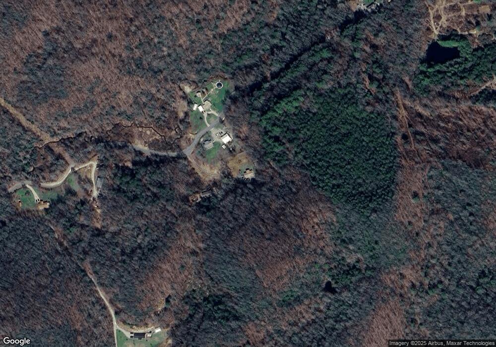
Map
Nearby Homes
- 200 Glenbrook Mountain Rd
- Tbd State Route 606
- 818 Oakdale St
- 1505 Williams Hollow Rd
- 2921 Imboden Rd
- Tbd Veterans Memorial Hwy
- 186 Blair Rd
- 0 Blair Rd
- 2512 Orr St
- 602 2nd Ave W
- 240 Cherry Tree Dr
- 2300 Exeter Rd
- 193 Light Dr
- 128 Azalea Ln
- 409 Wood Ave W
- 316 Shawnee Ave W
- 2703 Orr St
- 0 N Turkey Cove North of 58a Unit 9982105
- 28529 Us Hwy 23
- 113 W 2nd St S
- 1061 Mohawk Loop
- 1109 Mohawk Loop
- 1063 Mohawk Loop
- 1048 Mohawk Loop
- 1267 Mohawk Loop
- 357 Greyhound Rd
- 818 Mohawk Loop
- 1329 Mohawk Loop
- 425 Greyhound Rd
- 140 Milkyway Rd
- 107 Laurel Mountain Dr
- 144 Milkyway Rd
- 167 Milkyway Rd
- 176 Keokee Lake Rd
- 673 Laurel Mountain Dr
- 664 Laurel Mountain Dr
- 768 Laurel Mountain Dr
- 388 Laurel Mountain Dr
- 200 Mohawk Loop
- 206 Mohawk Loop