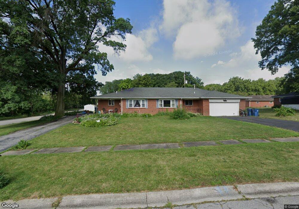
1103 Pam Dr Unit 1105 Chesterton, IN 46304
Estimated Value: $270,000 - $299,000
5
Beds
2
Baths
1,880
Sq Ft
$148/Sq Ft
Est. Value
About This Home
This home is located at 1103 Pam Dr Unit 1105, Chesterton, IN 46304 and is currently estimated at $278,989, approximately $148 per square foot. 1103 Pam Dr Unit 1105 is a home located in Porter County with nearby schools including Westchester Intermediate School, Brummitt Elementary School, and Chesterton Middle School.
Ownership History
Date
Name
Owned For
Owner Type
Purchase Details
Closed on
Feb 23, 2019
Sold by
Barango Vincent G and Barango Carol A
Bought by
Stockwell Spencer A and Stockwell Spencer Allen
Current Estimated Value
Home Financials for this Owner
Home Financials are based on the most recent Mortgage that was taken out on this home.
Original Mortgage
$1,376,010
Outstanding Balance
$1,207,292
Interest Rate
4.4%
Mortgage Type
New Conventional
Estimated Equity
-$928,303
Create a Home Valuation Report for This Property
The Home Valuation Report is an in-depth analysis detailing your home's value as well as a comparison with similar homes in the area
Home Values in the Area
Average Home Value in this Area
Purchase History
| Date | Buyer | Sale Price | Title Company |
|---|---|---|---|
| Stockwell Spencer A | $172,000 | Community Title Co |
Source: Public Records
Mortgage History
| Date | Status | Borrower | Loan Amount |
|---|---|---|---|
| Open | Stockwell Spencer A | $1,376,010 |
Source: Public Records
Tax History Compared to Growth
Tax History
| Year | Tax Paid | Tax Assessment Tax Assessment Total Assessment is a certain percentage of the fair market value that is determined by local assessors to be the total taxable value of land and additions on the property. | Land | Improvement |
|---|---|---|---|---|
| 2024 | $4,197 | $294,000 | $44,100 | $249,900 |
| 2023 | $4,157 | $277,100 | $41,200 | $235,900 |
| 2022 | $1,842 | $132,800 | $34,400 | $98,400 |
| 2021 | $1,901 | $132,800 | $34,400 | $98,400 |
| 2020 | $1,904 | $132,800 | $34,400 | $98,400 |
| 2019 | $1,925 | $132,800 | $34,400 | $98,400 |
| 2018 | $2,988 | $132,800 | $34,400 | $98,400 |
| 2017 | $2,988 | $132,800 | $34,400 | $98,400 |
| 2016 | $2,988 | $132,800 | $34,400 | $98,400 |
| 2014 | $2,988 | $154,300 | $40,000 | $114,300 |
| 2013 | -- | $163,700 | $40,200 | $123,500 |
Source: Public Records
Map
Nearby Homes
- 120 Pine Dr Unit H
- 860 Quail Ridge Dr
- 319 Michigami Trail
- 103 Summertree Dr
- 188 Summertree Dr
- 1239 Fox Hollow Dr
- 308 Rankin St
- 315 Franklin St
- 0 Haglund Rd Unit NRA821369
- 647 N Calumet Rd
- 116 Rankin St
- 2535 State St
- 140 N Jackson Blvd
- 150 16th St
- 108 Indian Boundary Rd
- 131 N 18th St
- 506 W Morgan Ave
- 401 S 15th St
- 327 S 18th St
- 42 Karner Blue Ct
- 1103-1105 Pam Dr Unit 2
- 1103-1105 Pam Dr
- 1105 Pam Dr
- 1106 Penny Ln
- 1108 Penny Ln
- 1106-1108 Penny Ln
- 1107 Pam Dr Unit 1109
- 1110-1112 Penny Ln
- 1110 Penny Ln Unit 1112
- 843 Marquardt St
- 841-843 Marquardt St
- 841 Marquardt St
- 1112 Penny Ln
- 1106 Pam Dr
- 1106-1108 Pam Dr
- 1108 Pam Dr
- 1111 Pam Dr Unit 1113
- 1105 Penny Ln
- 1103-1105 Penny Ln
- 1103 Penny Ln Unit 1105