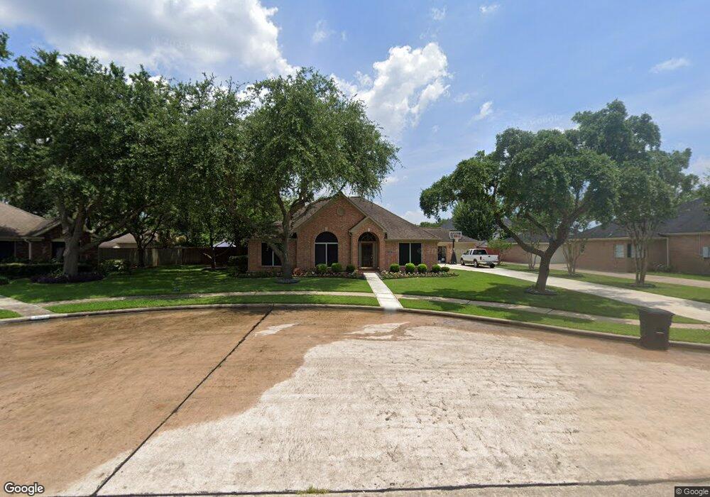
1103 Red Wing Dr Friendswood, TX 77546
Estimated Value: $400,564 - $452,000
--
Bed
2
Baths
2,205
Sq Ft
$191/Sq Ft
Est. Value
About This Home
This home is located at 1103 Red Wing Dr, Friendswood, TX 77546 and is currently estimated at $421,641, approximately $191 per square foot. 1103 Red Wing Dr is a home located in Galveston County with nearby schools including C.W. Cline Elementary School, Windsong Elementary School, and Friendswood Junior High School.
Ownership History
Date
Name
Owned For
Owner Type
Purchase Details
Closed on
Jun 30, 2008
Sold by
Vennekotter Anita M
Bought by
Hickman Terry L and Hickman Michelle L
Current Estimated Value
Home Financials for this Owner
Home Financials are based on the most recent Mortgage that was taken out on this home.
Original Mortgage
$202,410
Outstanding Balance
$130,050
Interest Rate
5.99%
Mortgage Type
Purchase Money Mortgage
Estimated Equity
$291,591
Create a Home Valuation Report for This Property
The Home Valuation Report is an in-depth analysis detailing your home's value as well as a comparison with similar homes in the area
Home Values in the Area
Average Home Value in this Area
Purchase History
| Date | Buyer | Sale Price | Title Company |
|---|---|---|---|
| Hickman Terry L | -- | Texas American Title Company |
Source: Public Records
Mortgage History
| Date | Status | Borrower | Loan Amount |
|---|---|---|---|
| Open | Hickman Terry L | $202,410 |
Source: Public Records
Tax History Compared to Growth
Tax History
| Year | Tax Paid | Tax Assessment Tax Assessment Total Assessment is a certain percentage of the fair market value that is determined by local assessors to be the total taxable value of land and additions on the property. | Land | Improvement |
|---|---|---|---|---|
| 2025 | $5,477 | $373,278 | $54,947 | $318,331 |
| 2024 | $5,477 | $358,309 | -- | -- |
| 2023 | $5,477 | $325,735 | $0 | $0 |
| 2022 | $6,522 | $296,123 | $0 | $0 |
| 2021 | $6,288 | $323,050 | $47,110 | $275,940 |
| 2020 | $5,896 | $244,730 | $47,110 | $197,620 |
| 2019 | $6,646 | $261,740 | $47,110 | $214,630 |
| 2018 | $6,802 | $266,290 | $47,110 | $219,180 |
| 2017 | $6,521 | $270,810 | $47,110 | $223,700 |
| 2016 | $5,928 | $253,590 | $47,110 | $206,480 |
| 2015 | $1,885 | $231,460 | $47,110 | $184,350 |
| 2014 | $1,775 | $188,650 | $47,110 | $141,540 |
Source: Public Records
Map
Nearby Homes
- 1906 Blue Quail Dr
- 1010 High Ridge Dr
- 1217 Red Wing Dr
- 705 High Ridge Dr
- 1802 Creekside Dr
- 1305 Edgewater Dr
- 2202 Calm Pond Ct
- 2120 Lila Sky Ln
- 1532 River Point Dr
- 2304 Old Rd
- 1673 Birch Lake Bend
- 1556 River Point Dr
- 506 Lakeside Ln
- 2305 Farris Valley Ln
- 1601 Birch Lake Bend
- 2220 Lila Sky Ln
- 1657 Birch Lake Ln
- 1673 Birch Lake Ln
- 2124 Lila Sky Ln
- 1572 River Point Dr
- 1105 Red Wing Dr
- 1108 Peregrine Dr
- 1101 Red Wing Dr
- 1106 Peregrine Dr
- 1110 Peregrine Dr
- 1104 Red Wing Dr
- 1104 Peregrine Dr
- 1102 Red Wing Dr
- 1106 Red Wing Dr
- 1916 Blue Quail Dr
- 1201 Red Wing Dr
- 1914 Blue Quail Dr
- 1202 Peregrine Dr
- 1102 Peregrine Dr
- 1107 Peregrine Dr
- 1103 Osprey Ct
- 1105 Peregrine Dr
- 1912 Blue Quail Dr
- 1109 Peregrine Dr
- 1905 Dove Ct