Estimated Value: $363,000 - $444,000
3
Beds
2
Baths
1,755
Sq Ft
$221/Sq Ft
Est. Value
About This Home
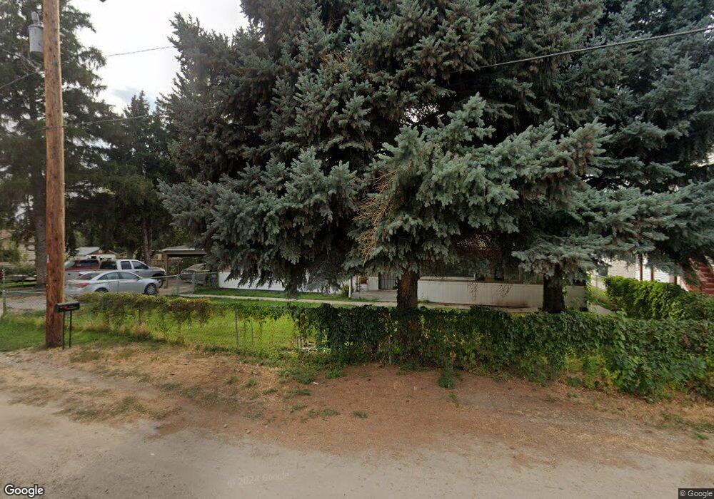
This home is located at 1103 S Powerline Rd, Nampa, ID 83686 and is currently estimated at $387,686, approximately $220 per square foot. 1103 S Powerline Rd is a home located in Canyon County with nearby schools including Sherman Elementary School, West Middle School, and Skyview High School.
Ownership History
Date
Name
Owned For
Owner Type
Purchase Details
Closed on
Jan 7, 2011
Sold by
Boughton Kenneth Lester
Bought by
Fields Collinda
Current Estimated Value
Purchase Details
Closed on
Oct 20, 2010
Sold by
The Bank Of New York Mellon
Bought by
Boughton Kenneth Lester
Purchase Details
Closed on
Jun 22, 2010
Sold by
Huremovic Muhamed and Murtic Refika
Bought by
The Bank Of New York Mellon and First Horizon Home Loans
Purchase Details
Closed on
Nov 16, 2005
Sold by
Durfee Charles D and Durfee Stephanie A
Bought by
Huremovic Muhamed and Murtic Refika
Home Financials for this Owner
Home Financials are based on the most recent Mortgage that was taken out on this home.
Original Mortgage
$86,800
Interest Rate
5.93%
Mortgage Type
Fannie Mae Freddie Mac
Create a Home Valuation Report for This Property
The Home Valuation Report is an in-depth analysis detailing your home's value as well as a comparison with similar homes in the area
Home Values in the Area
Average Home Value in this Area
Purchase History
| Date | Buyer | Sale Price | Title Company |
|---|---|---|---|
| Fields Collinda | -- | Pioneer Caldwell | |
| Boughton Kenneth Lester | -- | Pioneer Caldwell | |
| The Bank Of New York Mellon | $72,250 | Titleone Boise | |
| Huremovic Muhamed | -- | Title One |
Source: Public Records
Mortgage History
| Date | Status | Borrower | Loan Amount |
|---|---|---|---|
| Previous Owner | Huremovic Muhamed | $86,800 |
Source: Public Records
Tax History Compared to Growth
Tax History
| Year | Tax Paid | Tax Assessment Tax Assessment Total Assessment is a certain percentage of the fair market value that is determined by local assessors to be the total taxable value of land and additions on the property. | Land | Improvement |
|---|---|---|---|---|
| 2025 | $1,456 | $372,500 | $105,000 | $267,500 |
| 2024 | $1,456 | $360,200 | $93,300 | $266,900 |
| 2023 | $1,283 | $341,000 | $93,300 | $247,700 |
| 2022 | $1,789 | $359,700 | $105,000 | $254,700 |
| 2021 | $1,658 | $265,700 | $52,500 | $213,200 |
| 2020 | $1,443 | $211,400 | $43,700 | $167,700 |
| 2019 | $1,488 | $185,500 | $37,900 | $147,600 |
| 2018 | $1,415 | $0 | $0 | $0 |
| 2017 | $1,302 | $0 | $0 | $0 |
| 2016 | $1,178 | $0 | $0 | $0 |
| 2015 | $1,080 | $0 | $0 | $0 |
| 2014 | $948 | $97,300 | $16,500 | $80,800 |
Source: Public Records
Map
Nearby Homes
- 1157 S Powerline Rd
- 1300 Diamond Ct
- 1047 S 20th St
- 2024 Wildflower Dr
- 520 S Powerline Rd
- 618 Dufur St
- 1835 E Kentucky Ave
- 1207 E Sheridan Ave
- 416 S Powerline Rd
- 2308 E Elm Grove Dr
- 1224 Chicago St
- 216 S Powerline Rd
- 1426 Chicago St
- 1716 Nixon Ave
- 1009 Poppy Dr
- 223 S Elder St
- 712 E Sheridan Ave
- 2117 E Massachusetts Ave
- 702 E Maryland Ave
- 516 20th Ave S
- 1423 E Dakota Ave
- 1427 E Dakota Ave
- 1115 S Powerline Rd
- 1112 S Powerline Rd
- 1419 E Dakota Ave
- 1124 S Powerline Rd
- 1503 E Dakota Ave
- 1023 S Powerline Rd
- 1104 S Powerline Rd
- 1411 E Dakota Ave
- 1511 E Dakota Ave
- 1128 S Powerline Rd
- 1420 E Dakota Ave
- 951 S Powerline Rd
- 1508 E Dakota Ave
- 1127 S Powerline Road (Back Unit)
- 1127 S Powerline Road (Front Unit)
- 1407 E Dakota Ave
- 1127 S Powerline Rd Unit FRONT
- 1127 S Powerline Rd Unit Back