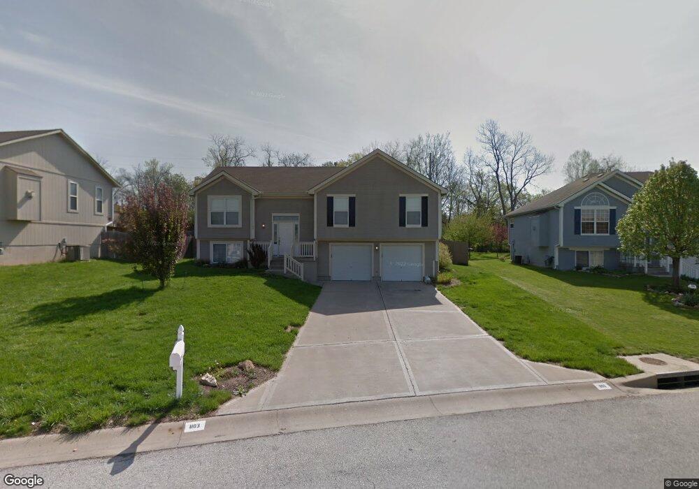
1103 S Scott Ave Belton, MO 64012
Estimated Value: $222,000 - $289,000
3
Beds
2
Baths
1,284
Sq Ft
$210/Sq Ft
Est. Value
About This Home
This home is located at 1103 S Scott Ave, Belton, MO 64012 and is currently estimated at $269,308, approximately $209 per square foot. 1103 S Scott Ave is a home located in Cass County with nearby schools including Cambridge Elementary School, Belton Middle School, and Mill Creek Upper Elementary School.
Ownership History
Date
Name
Owned For
Owner Type
Purchase Details
Closed on
Mar 27, 2013
Sold by
Bales Alan P and Bales Mary K
Bought by
Christofferson Levi and Christofferson Sara
Current Estimated Value
Home Financials for this Owner
Home Financials are based on the most recent Mortgage that was taken out on this home.
Original Mortgage
$108,443
Interest Rate
3.59%
Mortgage Type
FHA
Create a Home Valuation Report for This Property
The Home Valuation Report is an in-depth analysis detailing your home's value as well as a comparison with similar homes in the area
Home Values in the Area
Average Home Value in this Area
Purchase History
| Date | Buyer | Sale Price | Title Company |
|---|---|---|---|
| Christofferson Levi | -- | First United Title Age Llc |
Source: Public Records
Mortgage History
| Date | Status | Borrower | Loan Amount |
|---|---|---|---|
| Closed | Christofferson Levi | $108,443 |
Source: Public Records
Tax History
| Year | Tax Paid | Tax Assessment Tax Assessment Total Assessment is a certain percentage of the fair market value that is determined by local assessors to be the total taxable value of land and additions on the property. | Land | Improvement |
|---|---|---|---|---|
| 2025 | $2,620 | $35,950 | $4,920 | $31,030 |
| 2024 | $2,620 | $31,780 | $4,470 | $27,310 |
| 2023 | $2,614 | $31,780 | $4,470 | $27,310 |
| 2022 | $2,349 | $28,310 | $4,470 | $23,840 |
| 2021 | $2,349 | $28,310 | $4,470 | $23,840 |
| 2020 | $2,297 | $27,520 | $4,470 | $23,050 |
| 2019 | $2,249 | $27,520 | $4,470 | $23,050 |
| 2018 | $2,022 | $24,950 | $3,850 | $21,100 |
| 2017 | $1,930 | $24,950 | $3,850 | $21,100 |
| 2016 | $1,930 | $23,680 | $3,850 | $19,830 |
| 2015 | $1,930 | $23,680 | $3,850 | $19,830 |
| 2014 | $1,936 | $23,680 | $3,850 | $19,830 |
| 2013 | -- | $23,680 | $3,850 | $19,830 |
Source: Public Records
Map
Nearby Homes
- 1105 Kent Dr
- 1208 S Cedar St
- 200 Park Ave
- 212 W Cambridge Rd
- 709 S Scott Ave
- 416 Timbercreek Dr
- 414 179th Terrace
- 709 Mulberry St
- 210 Cherokee Dr
- 117 Melody Ln
- 703 York Dr
- 702 Park Cir
- 602 S Cedar St
- 402 Prairie Ln
- 513 S Cedar St
- 104 E Sunrise Dr
- 709 Hollis Ave
- 730 E Cambridge Rd
- 206-216 E South Ave
- 000 Miller Dr
- 1101 S Scott Ave
- 1105 S Scott Ave
- 1015 S Scott Ave
- 1107 S Scott Ave
- 1104 S Scott Ave
- 1013 S Scott Ave
- 1106 S Scott Ave
- 104 W 181st St
- 1109 S Scott Ave
- 1011 S Scott Ave
- 1108 S Scott Ave
- 106 W 181st St
- 1107 Kent Dr
- 105 Brent Rd
- 1111 S Scott Ave
- 1009 S Scott Ave
- 1009 Brentwood Cir
- 1110 S Scott Ave
- 1109 Kent Dr
- 107 Brent Rd
Your Personal Tour Guide
Ask me questions while you tour the home.