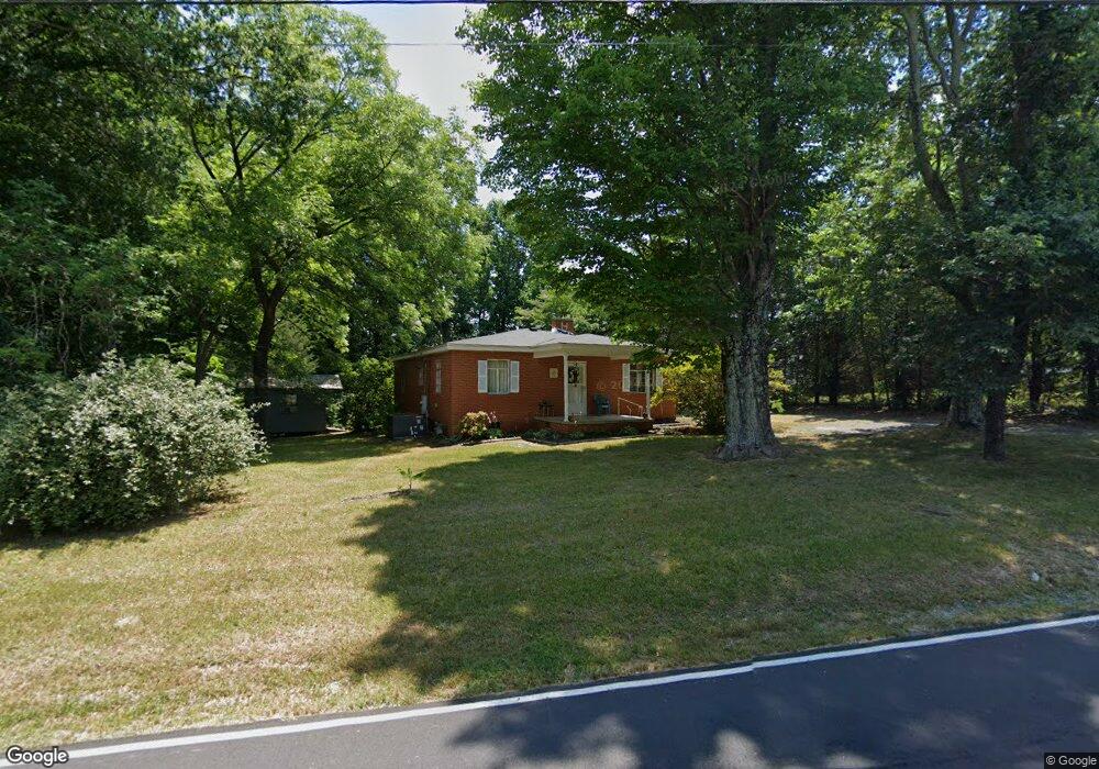
1103 Uwharrie St Asheboro, NC 27203
Estimated Value: $159,614 - $223,000
--
Bed
1
Bath
1,216
Sq Ft
$163/Sq Ft
Est. Value
About This Home
This home is located at 1103 Uwharrie St, Asheboro, NC 27203 and is currently estimated at $197,904, approximately $162 per square foot. 1103 Uwharrie St is a home located in Randolph County with nearby schools including Donna L. Loflin Elementary School, South Asheboro Middle School, and Asheboro High School.
Ownership History
Date
Name
Owned For
Owner Type
Purchase Details
Closed on
Jun 27, 2014
Sold by
Pierce Carol H and Wilmer J Hall Revocable Trust
Bought by
Pierce Carol H
Current Estimated Value
Purchase Details
Closed on
Nov 11, 2008
Sold by
Hall Dorothy H and Pierce Carol H
Bought by
Hall Wilmer J and Wilmer J Hall Revocable Trust
Create a Home Valuation Report for This Property
The Home Valuation Report is an in-depth analysis detailing your home's value as well as a comparison with similar homes in the area
Home Values in the Area
Average Home Value in this Area
Purchase History
| Date | Buyer | Sale Price | Title Company |
|---|---|---|---|
| Pierce Carol H | -- | None Available | |
| Hall Wilmer J | -- | None Available |
Source: Public Records
Tax History Compared to Growth
Tax History
| Year | Tax Paid | Tax Assessment Tax Assessment Total Assessment is a certain percentage of the fair market value that is determined by local assessors to be the total taxable value of land and additions on the property. | Land | Improvement |
|---|---|---|---|---|
| 2025 | $1,542 | $116,340 | $30,740 | $85,600 |
| 2024 | $1,542 | $116,340 | $30,740 | $85,600 |
| 2023 | $1,542 | $116,340 | $30,740 | $85,600 |
| 2022 | $1,100 | $76,320 | $18,080 | $58,240 |
| 2021 | $1,100 | $76,320 | $18,080 | $58,240 |
| 2020 | $1,100 | $76,320 | $18,080 | $58,240 |
| 2019 | $1,100 | $76,320 | $18,080 | $58,240 |
| 2018 | $960 | $65,440 | $19,240 | $46,200 |
| 2016 | $960 | $65,441 | $19,240 | $46,201 |
| 2015 | $962 | $65,441 | $19,240 | $46,201 |
| 2014 | -- | $65,441 | $19,240 | $46,201 |
Source: Public Records
Map
Nearby Homes
- 1037 Robbins St
- 737 Britt Ave
- 960 Lee St
- 828 Windermere Ct
- 855 Lee St
- 806 Windermere Ct
- 617 Uwharrie St Unit N
- 627 Lee St
- 631 W Kivett St
- 724 Sherwood Rd
- 7808 State Highway 49
- 211 Armfield Ave
- 209 Armfield Ave
- 811 Sherwood Ave
- 1427 S Fayetteville St
- 401 Uwharrie St
- 272 Cheyenne Cir
- 01 Mack Rd
- 1922 Oak Dr
- 922 S Cox St
- 1106 Uwharrie St
- 1100 Uwharrie St
- 1110 Uwharrie St
- 1038 Uwharrie St
- 1122 Uwharrie St
- 1028 Uwharrie St
- 1039 Robbins St
- 1016 Uwharrie St
- 1015 Robbins St
- 1041 Robbins St
- 1047 Robbins St
- 799 William Ave
- 1045 Robbins St
- 1001 Robbins St
- 775 William Ave
- 1214 Uwharrie St
- 0 Robbins St
- 1049 Robbins St
- 769 William Ave
- 903 Dairy St