1103 Wharfside Ct Unit 18 Greensboro, GA 30642
Estimated Value: $617,008 - $836,000
3
Beds
4
Baths
2,362
Sq Ft
$314/Sq Ft
Est. Value
About This Home
This home is located at 1103 Wharfside Ct Unit 18, Greensboro, GA 30642 and is currently estimated at $741,252, approximately $313 per square foot. 1103 Wharfside Ct Unit 18 is a home located in Greene County with nearby schools including Greene County High School.
Ownership History
Date
Name
Owned For
Owner Type
Purchase Details
Closed on
May 30, 2017
Sold by
Udoff Eric
Bought by
Phillips Kathryn T
Current Estimated Value
Home Financials for this Owner
Home Financials are based on the most recent Mortgage that was taken out on this home.
Original Mortgage
$286,400
Outstanding Balance
$236,502
Interest Rate
4.02%
Mortgage Type
New Conventional
Estimated Equity
$504,750
Purchase Details
Closed on
Nov 12, 2004
Sold by
Affidavit
Bought by
Udoff Eric and Udoff Ronni
Purchase Details
Closed on
Jun 3, 1998
Sold by
Furlow T M
Bought by
Titus Alvie L and Ellen Martin
Purchase Details
Closed on
Sep 14, 1990
Sold by
Harbor Club Lp
Bought by
Furlow T M
Create a Home Valuation Report for This Property
The Home Valuation Report is an in-depth analysis detailing your home's value as well as a comparison with similar homes in the area
Home Values in the Area
Average Home Value in this Area
Purchase History
| Date | Buyer | Sale Price | Title Company |
|---|---|---|---|
| Phillips Kathryn T | $358,000 | -- | |
| Udoff Eric | $325,000 | -- | |
| Titus Alvie L | $205,000 | -- | |
| Furlow T M | $160,000 | -- |
Source: Public Records
Mortgage History
| Date | Status | Borrower | Loan Amount |
|---|---|---|---|
| Open | Phillips Kathryn T | $286,400 |
Source: Public Records
Tax History Compared to Growth
Tax History
| Year | Tax Paid | Tax Assessment Tax Assessment Total Assessment is a certain percentage of the fair market value that is determined by local assessors to be the total taxable value of land and additions on the property. | Land | Improvement |
|---|---|---|---|---|
| 2025 | $1,863 | $204,720 | $80,000 | $124,720 |
| 2024 | $1,973 | $196,400 | $80,000 | $116,400 |
| 2023 | $1,691 | $198,720 | $80,000 | $118,720 |
| 2022 | $2,132 | $173,880 | $80,000 | $93,880 |
| 2021 | $2,272 | $129,960 | $56,000 | $73,960 |
| 2020 | $2,272 | $113,840 | $56,000 | $57,840 |
| 2019 | -- | $113,840 | $56,000 | $57,840 |
| 2018 | -- | $113,840 | $56,000 | $57,840 |
| 2017 | $2,404 | $113,851 | $56,000 | $57,851 |
| 2016 | -- | $115,480 | $56,000 | $59,480 |
| 2015 | -- | $115,480 | $56,000 | $59,480 |
| 2014 | -- | $111,997 | $56,000 | $55,997 |
Source: Public Records
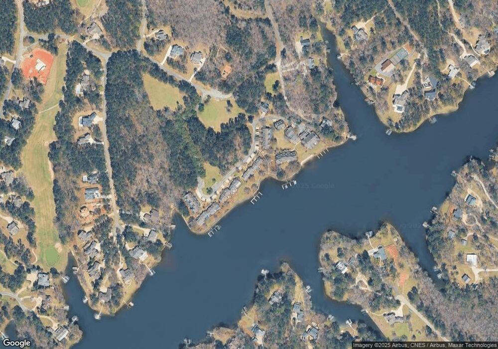
Map
Nearby Homes
- 1107 Wharfside Ct
- 1113 Wharfside Ct
- 1001 Shoal Creek Ct
- 1041 Shadow Creek Way
- 2390 Club Dr
- 1070 Shadow Creek Way
- 1041 Pinehurst Dr
- 1091 Pinehurst Dr
- 2541 Club Dr
- 1051 Pinehurst Dr
- 1050 Spy Glass Hill
- 1061 Oak Valley Rd
- 2660 Club Dr
- 1071 Spy Glass Hill
- 2691 Club Dr
- 1020 Oak Valley Rd
- 1040 Oak Valley Rd
- 1010 Forrest Highlands
- 1021 Winged Foot Dr
- 1131 Fleur de Lac Ln
- 1103 Wharfside Ct
- 1101 Wharfside Ct
- 1105 Wharf Unit 17
- 1105 Wharfside Ct Unit 17
- 1105 Wharfside Ct
- 1107 Wharfside Ct Unit 16
- 1097 Wharfside Ct
- 1095 Wharfside Ct
- 1121 Wharfside Ct
- 1093 Wharfside Ct
- 1093 Wharfside Ct Unit 1093
- 1093 Wharfside Ct
- 1111 Wharfside Ct
- 1123 Wharfside Ct
- 1125 Wharfside Ct
- 1115 Wharfside Ct
- 1115 Wharfside Ct Unit 13
- 1127 Wharfside Ct
- 1117 Wharfside Ct
- 1089 Wharfside Ct