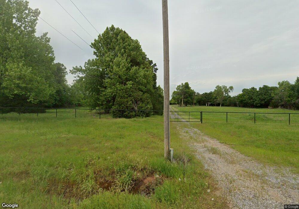
11037 SW 29th St Yukon, OK 73099
Mustang Creek NeighborhoodEstimated Value: $311,000 - $361,704
4
Beds
3
Baths
2,515
Sq Ft
$135/Sq Ft
Est. Value
About This Home
This home is located at 11037 SW 29th St, Yukon, OK 73099 and is currently estimated at $338,676, approximately $134 per square foot. 11037 SW 29th St is a home located in Canadian County with nearby schools including Mustang Creek Elementary School, Canyon Ridge Intermediate School, and Mustang North Middle School.
Ownership History
Date
Name
Owned For
Owner Type
Purchase Details
Closed on
Mar 18, 2022
Sold by
Gail Lawrence
Bought by
David And Tami Syler Revocable Trust
Current Estimated Value
Purchase Details
Closed on
Mar 17, 2022
Sold by
Gail Lawrence
Bought by
David And Tami Syler Revocable Trust
Purchase Details
Closed on
Nov 3, 1992
Sold by
Cole Robert
Bought by
Lawrence James L and Lawrence Gail
Create a Home Valuation Report for This Property
The Home Valuation Report is an in-depth analysis detailing your home's value as well as a comparison with similar homes in the area
Home Values in the Area
Average Home Value in this Area
Purchase History
| Date | Buyer | Sale Price | Title Company |
|---|---|---|---|
| David And Tami Syler Revocable Trust | $300,000 | First American Title | |
| David And Tami Syler Revocable Trust | $300,000 | First American Title | |
| Lawrence James L | $150,000 | -- |
Source: Public Records
Tax History Compared to Growth
Tax History
| Year | Tax Paid | Tax Assessment Tax Assessment Total Assessment is a certain percentage of the fair market value that is determined by local assessors to be the total taxable value of land and additions on the property. | Land | Improvement |
|---|---|---|---|---|
| 2024 | $2,108 | $19,552 | $18,984 | $568 |
| 2023 | $2,108 | $18,621 | $15,600 | $3,021 |
| 2022 | $1,837 | $15,984 | $15,600 | $384 |
| 2021 | $1,795 | $15,675 | $6,267 | $9,408 |
| 2020 | $1,727 | $14,930 | $5,750 | $9,180 |
| 2019 | $1,528 | $14,218 | $5,045 | $9,173 |
| 2018 | $1,507 | $13,804 | $4,654 | $9,150 |
| 2017 | $1,252 | $13,402 | $4,006 | $9,396 |
| 2016 | $1,214 | $13,048 | $3,450 | $9,598 |
| 2015 | -- | $12,633 | $3,450 | $9,183 |
| 2014 | -- | $18,509 | $3,450 | $15,059 |
Source: Public Records
Map
Nearby Homes
- 3213 Brookstone Pass Dr
- 3217 Canton Trail
- 3109 Copan Ct
- 10904 SW 32nd Terrace
- 3124 Copan Ct
- 12317 SW 32nd St
- 12321 SW 32nd St
- 12329 SW 32nd St
- 12325 SW 32nd St
- 12337 SW 32nd St
- 12333 SW 32nd St
- 3033 Sahoma Trail
- 11652 SW 12th St
- 10724 SW 30th St
- 2217 Stella Rd
- 2141 Redbud Creek Ave
- 2137 Redbud Creek Ave
- 2705 Crystal Pine Dr
- 2512 Canyon Creek Dr
- 2120 Hackberry Creek Ave
- 11017 SW 29th St
- 11001 SW 29th St
- 3001 Canton Trail
- 11124 SW 30th Cir
- 11100 SW 30th Cir
- 3020 Brookstone Pass Dr
- 3005 Canton Trail
- 3024 Brookstone Pass Dr
- 3017 Brookstone Pass Dr
- 3013 Canton Trail
- 10937 SW 30th Terrace
- 3028 Brookstone Pass Dr
- 3021 Brookstone Pass Dr
- 3017 Canton Trail
- 10933 SW 30th Terrace
- 11120 SW 30th Cir
- 11109 SW 30th St
- 3100 Brookstone Ridge Blvd
- 3021 Canton Trail
- 3025 Brookstone Pass Dr
