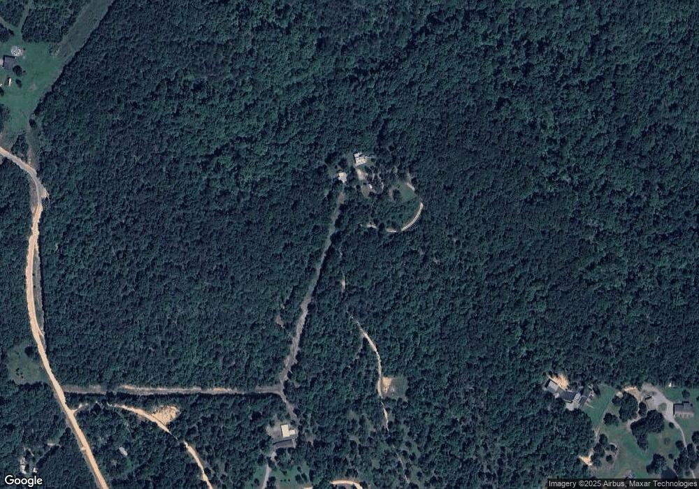
11038 N 530 Rd Tahlequah, OK 74464
Estimated Value: $291,000 - $362,305
3
Beds
3
Baths
2,138
Sq Ft
$153/Sq Ft
Est. Value
About This Home
This home is located at 11038 N 530 Rd, Tahlequah, OK 74464 and is currently estimated at $326,653, approximately $152 per square foot. 11038 N 530 Rd is a home located in Cherokee County with nearby schools including Lowrey School.
Ownership History
Date
Name
Owned For
Owner Type
Purchase Details
Closed on
Sep 30, 2013
Sold by
Rogers David A and Anderson Libby L
Bought by
Rogers David A and Rogers Libby L
Current Estimated Value
Home Financials for this Owner
Home Financials are based on the most recent Mortgage that was taken out on this home.
Original Mortgage
$158,000
Outstanding Balance
$40,885
Interest Rate
4.62%
Mortgage Type
New Conventional
Estimated Equity
$285,768
Purchase Details
Closed on
Oct 26, 2001
Sold by
David A Rogers
Bought by
David Rogers and David Anderson L
Purchase Details
Closed on
Mar 9, 1998
Sold by
J D and Julia Hullinger
Bought by
David A Rogers
Purchase Details
Closed on
May 13, 1994
Sold by
Eli & Helen Smith Trustee
Bought by
J D and Julia Hullinger
Create a Home Valuation Report for This Property
The Home Valuation Report is an in-depth analysis detailing your home's value as well as a comparison with similar homes in the area
Home Values in the Area
Average Home Value in this Area
Purchase History
| Date | Buyer | Sale Price | Title Company |
|---|---|---|---|
| Rogers David A | -- | None Available | |
| David Rogers | -- | -- | |
| David A Rogers | $20,000 | -- | |
| J D | $800 | -- |
Source: Public Records
Mortgage History
| Date | Status | Borrower | Loan Amount |
|---|---|---|---|
| Open | Rogers David A | $158,000 |
Source: Public Records
Tax History Compared to Growth
Tax History
| Year | Tax Paid | Tax Assessment Tax Assessment Total Assessment is a certain percentage of the fair market value that is determined by local assessors to be the total taxable value of land and additions on the property. | Land | Improvement |
|---|---|---|---|---|
| 2025 | $1,662 | $23,195 | $553 | $22,642 |
| 2024 | $1,662 | $22,520 | $537 | $21,983 |
| 2023 | $1,662 | $21,863 | $453 | $21,410 |
| 2022 | $1,586 | $21,227 | $937 | $20,290 |
| 2021 | $1,531 | $20,609 | $910 | $19,699 |
| 2020 | $1,360 | $20,008 | $883 | $19,125 |
| 2019 | $1,469 | $19,425 | $857 | $18,568 |
| 2018 | $1,431 | $18,859 | $832 | $18,027 |
| 2017 | $1,402 | $18,311 | $625 | $17,686 |
| 2016 | $1,363 | $17,778 | $599 | $17,179 |
| 2015 | $891 | $14,238 | $599 | $13,639 |
| 2014 | $891 | $13,823 | $5,195 | $8,628 |
Source: Public Records
Map
Nearby Homes
- 12562 N Webster Rd
- 11457 N 510 Rd
- 21088 E Steely Hollow Rd
- 17844 E 688 Rd
- 18079 E 680 Rd
- 00000 E 660 Rd
- 13468 Hwy 10
- 13468 Oklahoma 10
- 13725 N 527 Rd
- 8119 N 544 Rd
- 20819 E Steely Hollow Rd
- TBD Blk 1 Lot 11 E Steely Hollow Rd
- TBD Blk 1 Lot 4 E Steely Hollow Rd
- TBD BLK 1 Lot 10 E Steely Hollow Rd
- TBD BLK 1 Lot 9 E Steely Hollow Rd
- TBD Blk 1 Lot 1 E Steely Hollow Rd
- TBD BLK 1 Lot 2 E Steely Hollow Rd
- TBD Blk 1 Lot 6 E Steely Hollow Rd
- TBD Blk 1 Lot 8 E Steely Hollow Rd
- TBD Blk 1 Lot 5 E Steely Hollow Rd
- 0 E Dixie Pkwy Unit 1530775
- 0 E Dixie Pkwy Unit 1611855
- 0 E Dixie Pkwy Unit 1704812
- 0 E Dixie Pkwy Unit 1729752
- 0 E Dixie Pkwy Unit 1804008
- 0 E Dixie Pkwy Unit 1828729
- 0 E Dixie Pkwy Unit 1842311
- 20564 E Dixie Pkwy
- 11048 N 530 Rd
- 20573 E Dixie Pkwy
- 20653 E Dixie Pkwy
- 11019 N 530 Rd
- 11019 N 530 Rd
- 10560 N 530 Rd
- 20880 E Dixie Pkwy
- 11065 N 530 Rd
- 11177 Highway 10
- 20927 E Dixie Pkwy
- 11158 530 Rd
- 11129 530 Rd
