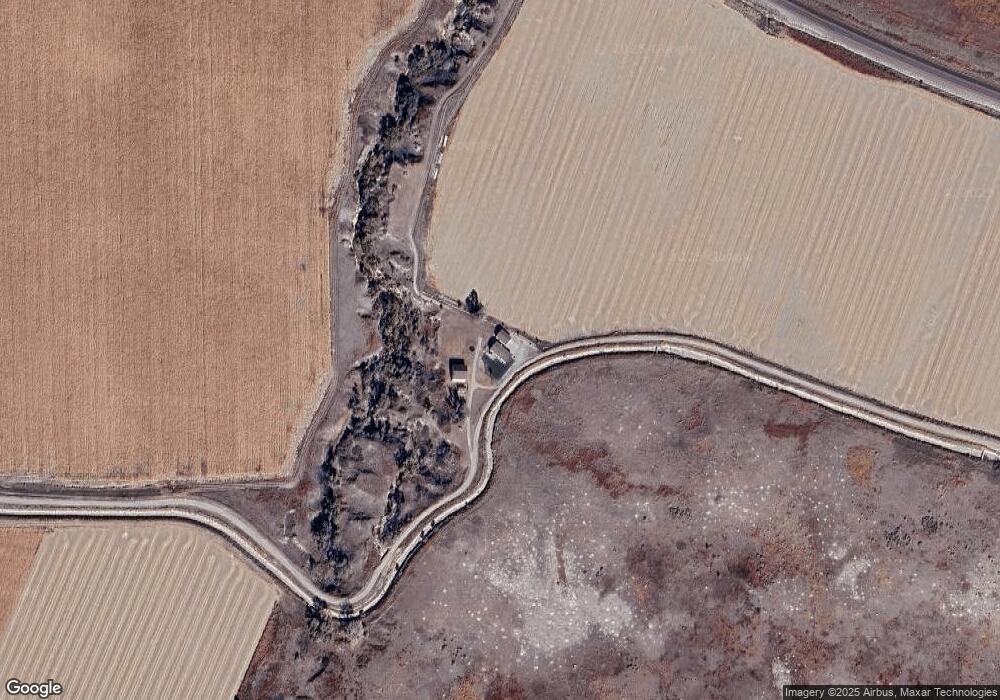
110397 Hunt Dairy Rd Mitchell, NE 69357
Estimated Value: $301,090 - $590,000
5
Beds
3
Baths
1,693
Sq Ft
$245/Sq Ft
Est. Value
About This Home
This home is located at 110397 Hunt Dairy Rd, Mitchell, NE 69357 and is currently estimated at $415,523, approximately $245 per square foot. 110397 Hunt Dairy Rd is a home located in Scotts Bluff County with nearby schools including Westmoor Elementary School, Bluffs Middle School, and Scottsbluff Senior High School.
Ownership History
Date
Name
Owned For
Owner Type
Purchase Details
Closed on
Feb 14, 2017
Sold by
John Kristal Darlene and John Kristal
Bought by
Vach Timothy and Vach Rebecca
Current Estimated Value
Home Financials for this Owner
Home Financials are based on the most recent Mortgage that was taken out on this home.
Original Mortgage
$211,105
Outstanding Balance
$173,148
Interest Rate
3.87%
Mortgage Type
FHA
Estimated Equity
$242,375
Create a Home Valuation Report for This Property
The Home Valuation Report is an in-depth analysis detailing your home's value as well as a comparison with similar homes in the area
Home Values in the Area
Average Home Value in this Area
Purchase History
| Date | Buyer | Sale Price | Title Company |
|---|---|---|---|
| Vach Timothy | $215,000 | Western Prairie Title & Escr |
Source: Public Records
Mortgage History
| Date | Status | Borrower | Loan Amount |
|---|---|---|---|
| Open | Vach Timothy | $211,105 |
Source: Public Records
Tax History Compared to Growth
Tax History
| Year | Tax Paid | Tax Assessment Tax Assessment Total Assessment is a certain percentage of the fair market value that is determined by local assessors to be the total taxable value of land and additions on the property. | Land | Improvement |
|---|---|---|---|---|
| 2024 | $3,823 | $262,660 | $27,240 | $235,420 |
| 2023 | $3,924 | $212,746 | $17,525 | $195,221 |
| 2022 | $3,924 | $212,746 | $17,525 | $195,221 |
| 2021 | $3,765 | $201,574 | $17,525 | $184,049 |
| 2020 | $3,518 | $187,065 | $17,525 | $169,540 |
| 2019 | $2,416 | $128,707 | $16,580 | $112,127 |
| 2018 | $2,433 | $128,707 | $16,580 | $112,127 |
| 2017 | $2,441 | $128,707 | $16,580 | $112,127 |
| 2016 | $2,207 | $126,606 | $17,734 | $108,872 |
| 2015 | $2,130 | $123,435 | $17,734 | $105,701 |
| 2014 | $2,154 | $123,127 | $17,426 | $105,701 |
| 2012 | -- | $123,127 | $17,426 | $105,701 |
Source: Public Records
Map
Nearby Homes
- 180123 Fort Mitchell Dr
- 1816 W Overland
- 2990 Country Club Rd
- 180436 River Rd
- 1426 Avenue P
- 1719 Avenue O
- 2113 Avenue O
- 1001 W Overland
- 40 Crestview Rd
- 1918 Avenue L
- 1526 Avenue J
- 1405 Avenue J
- 1609 Avenue I
- 717 W Overland
- 1410 Bryant Ave
- 2005 Country Club Rd
- 2750 21st St
- 1509 Avenue F
- 1609 Avenue F
- 2225 Sentinel Cir
- 110397 Hunt Dairy Rd
- 180439 Fort Mitchell Dr
- 180455 Fort Mitchell Dr
- 110388 Hunt Dairy Rd
- 180431 Fort Mitchell Dr
- 180379 Fort Mitchell Dr
- 180237 Fort Mitchell Dr
- 180215 Fort Mitchell Dr
- 100491 Hunt Dairy Rd
- 110513 Old Oregon Trail Rd
- 180189 Fort Mitchell Dr
- 180169 Fort Mitchell Dr
- 180153 Fort Mitchell Dr
- 180180 Fort Mitchell Dr
- TBD Hunt Dairy Rd
- 180151 Fort Mitchell Dr
- 180137 Fort Mitchell Dr
- 180152 Fort Mitchell Dr
- 110511 Old Oregon Trail Rd
- 180104 Fort Mitchell Dr
