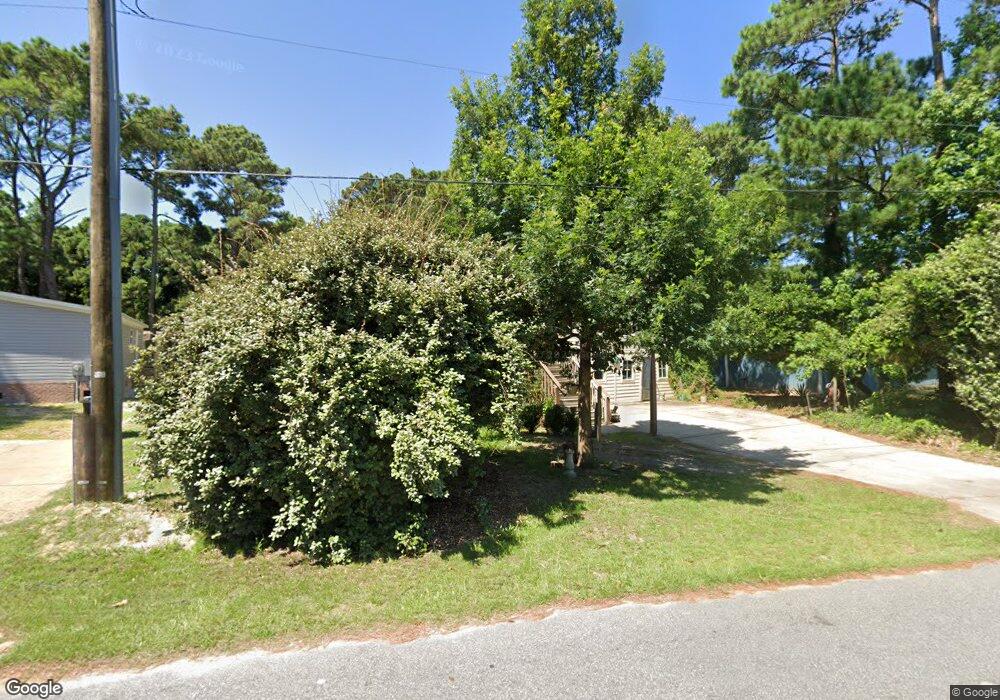
1104 9th Ave Unit 2 Kill Devil Hills, NC 27948
Estimated Value: $466,000 - $538,000
3
Beds
2
Baths
2,636
Sq Ft
$188/Sq Ft
Est. Value
About This Home
This home is located at 1104 9th Ave Unit 2, Kill Devil Hills, NC 27948 and is currently estimated at $494,994, approximately $187 per square foot. 1104 9th Ave Unit 2 is a home located in Dare County with nearby schools including Nags Head Elementary School, Manteo Middle School, and Manteo High School.
Ownership History
Date
Name
Owned For
Owner Type
Purchase Details
Closed on
Nov 15, 2023
Sold by
Clough Stanley Martin
Bought by
Lubic Charissa
Current Estimated Value
Home Financials for this Owner
Home Financials are based on the most recent Mortgage that was taken out on this home.
Original Mortgage
$392,500
Interest Rate
6.38%
Mortgage Type
New Conventional
Purchase Details
Closed on
Feb 28, 2012
Sold by
Clough Ridgely
Bought by
Clough Stanley Martin
Create a Home Valuation Report for This Property
The Home Valuation Report is an in-depth analysis detailing your home's value as well as a comparison with similar homes in the area
Home Values in the Area
Average Home Value in this Area
Purchase History
| Date | Buyer | Sale Price | Title Company |
|---|---|---|---|
| Lubic Charissa | $392,500 | None Listed On Document | |
| Clough Stanley Martin | -- | None Available |
Source: Public Records
Mortgage History
| Date | Status | Borrower | Loan Amount |
|---|---|---|---|
| Closed | Lubic Charissa | $392,500 |
Source: Public Records
Map
Nearby Homes
- 0 10th Ave Unit Lot 2R 130569
- 1308 Theodore St Unit 5
- 1208 Swan St Unit 4
- 1208 Swan St Unit 2
- 1208 Swan St Unit 5
- 1208 Swan St Unit 1
- 1208 -2 Swan St Unit 2
- 1208 -1 Swan St Unit 1
- 809 9th Ave Unit 809-B
- 0 W Martin St
- 205 W Atlantic St Unit Lot 3
- 302 W Clark St Unit Lot 6
- 704 Swan St Unit 2
- 0 W Boundary St Unit Lot 1-R 130568
- 900 Fox St
- 311 Gunas Dr Unit 17
- 311 Gunas Dr
- 1209 Wrightsville Blvd Unit Lot 26
- 1511 Wrightsville Blvd Unit Lot 64
- 305 E Martin St Unit Lot 25
- 1104 9th Ave
- 900 W Martin St
- 1102 9th Ave
- 904 W Martin St Unit 8-9
- 1114 Maxine St
- 903 W Airstrip Rd
- 901 W Martin St
- 803 W Martin St
- 905 W Martin St
- 1001 W Airstrip Rd
- 800 W Martin St
- 801 W Martin St
- 1202 8th Ave
- 1207-09 Seventh Ave
- 1204 9th Ave
- 1200 Boundary St
- 1000 W Airstrip Rd
- 803 W Airstrip Rd Unit 5
- 803 W Airstrip Rd
- 1002 Boundary St
Your Personal Tour Guide
Ask me questions while you tour the home.