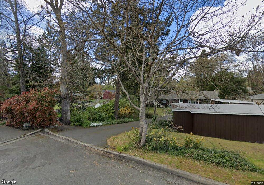
1104 Acacia Ln Grants Pass, OR 97527
Estimated Value: $480,734 - $482,000
3
Beds
2
Baths
1,466
Sq Ft
$328/Sq Ft
Est. Value
About This Home
This home is located at 1104 Acacia Ln, Grants Pass, OR 97527 and is currently estimated at $481,367, approximately $328 per square foot. 1104 Acacia Ln is a home located in Josephine County with nearby schools including Riverside Elementary School, South Middle School, and Grants Pass High School.
Ownership History
Date
Name
Owned For
Owner Type
Purchase Details
Closed on
Mar 10, 2011
Sold by
Carnahan Terry L and Carnahan Marilyn J
Bought by
Sherman Stephen Roger and Sherman Patricia Kaye
Current Estimated Value
Purchase Details
Closed on
Jul 27, 2007
Sold by
Martin James N and Martin Catherine E
Bought by
Carnahan Terry L and Carnahan Marilyn J
Home Financials for this Owner
Home Financials are based on the most recent Mortgage that was taken out on this home.
Original Mortgage
$66,750
Interest Rate
6.34%
Mortgage Type
Stand Alone Second
Create a Home Valuation Report for This Property
The Home Valuation Report is an in-depth analysis detailing your home's value as well as a comparison with similar homes in the area
Home Values in the Area
Average Home Value in this Area
Purchase History
| Date | Buyer | Sale Price | Title Company |
|---|---|---|---|
| Sherman Stephen Roger | $289,000 | Ticor Title Company Oregon | |
| Carnahan Terry L | $445,000 | Ticor Title |
Source: Public Records
Mortgage History
| Date | Status | Borrower | Loan Amount |
|---|---|---|---|
| Previous Owner | Carnahan Terry L | $66,750 | |
| Previous Owner | Carnahan Terry L | $356,000 |
Source: Public Records
Tax History Compared to Growth
Tax History
| Year | Tax Paid | Tax Assessment Tax Assessment Total Assessment is a certain percentage of the fair market value that is determined by local assessors to be the total taxable value of land and additions on the property. | Land | Improvement |
|---|---|---|---|---|
| 2025 | $4,555 | $350,780 | -- | -- |
| 2024 | $4,555 | $340,570 | -- | -- |
| 2023 | $4,291 | $330,660 | $0 | $0 |
| 2022 | $4,311 | $321,030 | -- | -- |
| 2021 | $4,049 | $311,680 | $0 | $0 |
| 2020 | $3,932 | $302,610 | $0 | $0 |
| 2019 | $3,818 | $293,800 | $0 | $0 |
| 2018 | $3,886 | $285,250 | $0 | $0 |
| 2017 | $3,856 | $276,950 | $0 | $0 |
| 2016 | $3,390 | $268,890 | $0 | $0 |
| 2015 | $3,092 | $254,010 | $0 | $0 |
| 2014 | $3,217 | $261,060 | $0 | $0 |
Source: Public Records
Map
Nearby Homes
- 737 SE M St
- 619 SE M St
- 1288 Tobin Ct
- 711 SE Riverside Ave
- 710 SE 12th St
- 1331 Vista Dr
- 861 SE M St
- 900 SE Mystic Dr
- 120 Gold River Ln
- 702 SE 9th St
- 415 SE J St
- 409 SE J St
- 115 Rogue River Hwy Unit 302
- 115 Rogue River Hwy Unit 307
- 805 Bower Ln
- 1550 Drury Ln
- 1059 SE Belle Aire Dr
- 1626 Poplar Dr
- 1195 E Park St
- 1201 E Park St