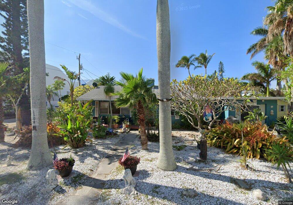
1104 Bay Dr N Bradenton Beach, FL 34217
Estimated Value: $762,000 - $1,090,000
2
Beds
2
Baths
1,192
Sq Ft
$775/Sq Ft
Est. Value
About This Home
This home is located at 1104 Bay Dr N, Bradenton Beach, FL 34217 and is currently estimated at $924,076, approximately $775 per square foot. 1104 Bay Dr N is a home located in Manatee County with nearby schools including Anna Maria Elementary School, Martha B. King Middle School, and Bayshore High School.
Ownership History
Date
Name
Owned For
Owner Type
Purchase Details
Closed on
Dec 3, 2002
Sold by
Clarke Lyndhurst Rufus Herbert
Bought by
Clarke Lyndhurst R H and Clarke Sharon Marie
Current Estimated Value
Purchase Details
Closed on
Apr 20, 1999
Sold by
Day Allan H and Day Janet R
Bought by
Clarke Lyndhurst R H
Home Financials for this Owner
Home Financials are based on the most recent Mortgage that was taken out on this home.
Original Mortgage
$133,200
Interest Rate
7.13%
Purchase Details
Closed on
Dec 8, 1993
Sold by
Hamilton Doris Lenz and Lenz Doris Lenore
Bought by
Day Allan H and Day Janet R
Home Financials for this Owner
Home Financials are based on the most recent Mortgage that was taken out on this home.
Original Mortgage
$57,700
Interest Rate
6.85%
Mortgage Type
Purchase Money Mortgage
Create a Home Valuation Report for This Property
The Home Valuation Report is an in-depth analysis detailing your home's value as well as a comparison with similar homes in the area
Home Values in the Area
Average Home Value in this Area
Purchase History
| Date | Buyer | Sale Price | Title Company |
|---|---|---|---|
| Clarke Lyndhurst R H | -- | -- | |
| Clarke Lyndhurst R H | $148,000 | -- | |
| Day Allan H | $82,500 | -- |
Source: Public Records
Mortgage History
| Date | Status | Borrower | Loan Amount |
|---|---|---|---|
| Previous Owner | Clarke Lyndhurst R H | $133,200 | |
| Previous Owner | Day Allan H | $57,700 |
Source: Public Records
Tax History Compared to Growth
Tax History
| Year | Tax Paid | Tax Assessment Tax Assessment Total Assessment is a certain percentage of the fair market value that is determined by local assessors to be the total taxable value of land and additions on the property. | Land | Improvement |
|---|---|---|---|---|
| 2025 | $3,156 | $231,225 | -- | -- |
| 2024 | $3,156 | $224,708 | -- | -- |
| 2023 | $3,093 | $218,163 | $0 | $0 |
| 2022 | $2,989 | $211,809 | $0 | $0 |
| 2021 | $2,870 | $205,640 | $0 | $0 |
| 2020 | $2,953 | $202,801 | $0 | $0 |
| 2019 | $2,903 | $198,241 | $0 | $0 |
| 2018 | $2,875 | $194,545 | $0 | $0 |
| 2017 | $2,541 | $190,544 | $0 | $0 |
| 2016 | $2,388 | $186,625 | $0 | $0 |
| 2015 | $2,413 | $185,328 | $0 | $0 |
| 2014 | $2,413 | $183,857 | $0 | $0 |
| 2013 | $2,397 | $181,140 | $0 | $0 |
Source: Public Records
Map
Nearby Homes
- 1007 Gulf Dr N Unit 106
- 1007 Gulf Dr N Unit 213
- 1007 Gulf Dr N Unit 208
- 117 7th St N Unit 5
- 117 7th St N Unit 35
- 1603 Gulf Dr N Unit 5
- 611 Gulf Dr N Unit B24
- 611 Gulf Dr N Unit A13
- 611 Gulf Dr N Unit D27
- 301 17th St N Unit 15
- 601 Gulf Dr N Unit 109
- 221 17th St N Unit 1
- 111 6th St N
- 1801 Gulf Dr N Unit 238
- 1801 Gulf Dr N Unit 166
- 1801 Gulf Dr N Unit 248
- 1801 Gulf Dr N Unit 207
- 1801 Gulf Dr N Unit 176
- 1900 Gulf Dr N Unit 1
- 1900 Gulf Dr N Unit 4
- 1103 Bay Dr N
- 1101 Bay Dr N
- 1108 Bay Dr N
- 1011 Bay Dr N
- 109 12th St N Unit East
- 109 12th St N Unit A
- 109 12th St N
- 1105 Bay Dr N
- 1007 Gulf #213 Dr N Unit 213
- 107 12th St N
- 1107 Bay Dr N
- 1101 Gulf Dr N
- 105 12th St N
- 1110 Gulf Dr N
- 110 12th St N
- 103 12th St N
- 108 12th St N Unit A
- 108 12th St N
- 114 12th St N
- 1001 Bay Dr N