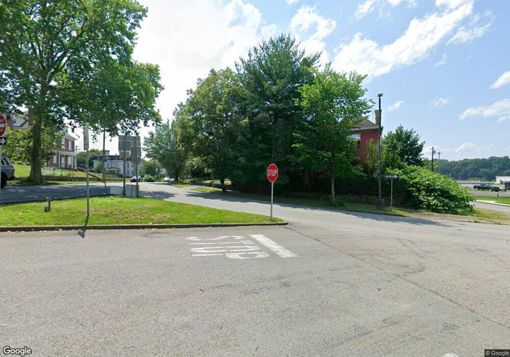
1104 Canter Ln Vandergrift, PA 15690
Parks Township NeighborhoodEstimated Value: $377,000 - $453,000
4
Beds
3
Baths
2,464
Sq Ft
$165/Sq Ft
Est. Value
About This Home
This home is located at 1104 Canter Ln, Vandergrift, PA 15690 and is currently estimated at $407,692, approximately $165 per square foot. 1104 Canter Ln is a home with nearby schools including Kiski Area High School.
Ownership History
Date
Name
Owned For
Owner Type
Purchase Details
Closed on
Jan 22, 2007
Sold by
Solomon Robert F and Solomon Barbara L
Bought by
Pattison Scott and Pattison Erin
Current Estimated Value
Home Financials for this Owner
Home Financials are based on the most recent Mortgage that was taken out on this home.
Original Mortgage
$41,350
Outstanding Balance
$24,753
Interest Rate
6.15%
Mortgage Type
Seller Take Back
Estimated Equity
$382,939
Create a Home Valuation Report for This Property
The Home Valuation Report is an in-depth analysis detailing your home's value as well as a comparison with similar homes in the area
Home Values in the Area
Average Home Value in this Area
Purchase History
| Date | Buyer | Sale Price | Title Company |
|---|---|---|---|
| Pattison Scott | $165,500 | None Available |
Source: Public Records
Mortgage History
| Date | Status | Borrower | Loan Amount |
|---|---|---|---|
| Open | Pattison Scott | $41,350 | |
| Open | Pattison Scott | $124,100 |
Source: Public Records
Tax History Compared to Growth
Tax History
| Year | Tax Paid | Tax Assessment Tax Assessment Total Assessment is a certain percentage of the fair market value that is determined by local assessors to be the total taxable value of land and additions on the property. | Land | Improvement |
|---|---|---|---|---|
| 2025 | $6,461 | $86,770 | $45,400 | $41,370 |
| 2024 | $5,969 | $86,770 | $45,400 | $41,370 |
| 2023 | $4,631 | $86,770 | $45,400 | $41,370 |
| 2022 | $4,631 | $86,770 | $45,400 | $41,370 |
| 2021 | $4,625 | $86,770 | $45,400 | $41,370 |
| 2020 | $4,350 | $80,300 | $42,160 | $38,140 |
| 2019 | $4,347 | $80,300 | $42,160 | $38,140 |
| 2018 | $4,262 | $60,235 | $5,750 | $54,485 |
| 2017 | $4,164 | $80,300 | $42,160 | $38,140 |
| 2016 | $4,043 | $80,300 | $42,160 | $38,140 |
| 2015 | $3,886 | $80,300 | $42,160 | $38,140 |
| 2014 | $3,886 | $80,300 | $42,160 | $38,140 |
Source: Public Records
Map
Nearby Homes
- 430 2nd Ave
- 405 5th Ave
- 365 Chestnut St
- 214 and 214 1/2 Whittier St
- 221 Railroad St
- 1149 Highland Ave
- 597 Market St
- 437 Lincoln Ave
- 154 Lillian Rd
- 137 Sherman Ave
- 107 Sumner Ave
- 321 Pitt St
- 381 Penn Ave
- 112 Farragut Ave Unit 3
- 1116 Grant St
- 371 Main St
- 317 Grant Ave
- 116 Custer Ave
- 367 1st St
- 1179 School Rd
- 1105 Canter Ln
- 1117 Bridle Ln
- 1115 Canter Ln
- 1106 Surrey Ln
- 1601 Airport Rd
- 1107 Surrey Ln
- 1110 Surrey Ln
- 1588 Airport Rd
- 1590 Airport Rd
- 1592 Airport Rd
- 1103 Surrey Ln
- 1115 Surrey Ln
- 1580 Airport Rd
- 1592 Airport Rd
- 1592 Airport Rd
- 1578 Airport Rd
- 1102 Surrey Ln
- 1600 Airport Rd
- 1114 Surrey Ln
- 1614 Airport Rd
