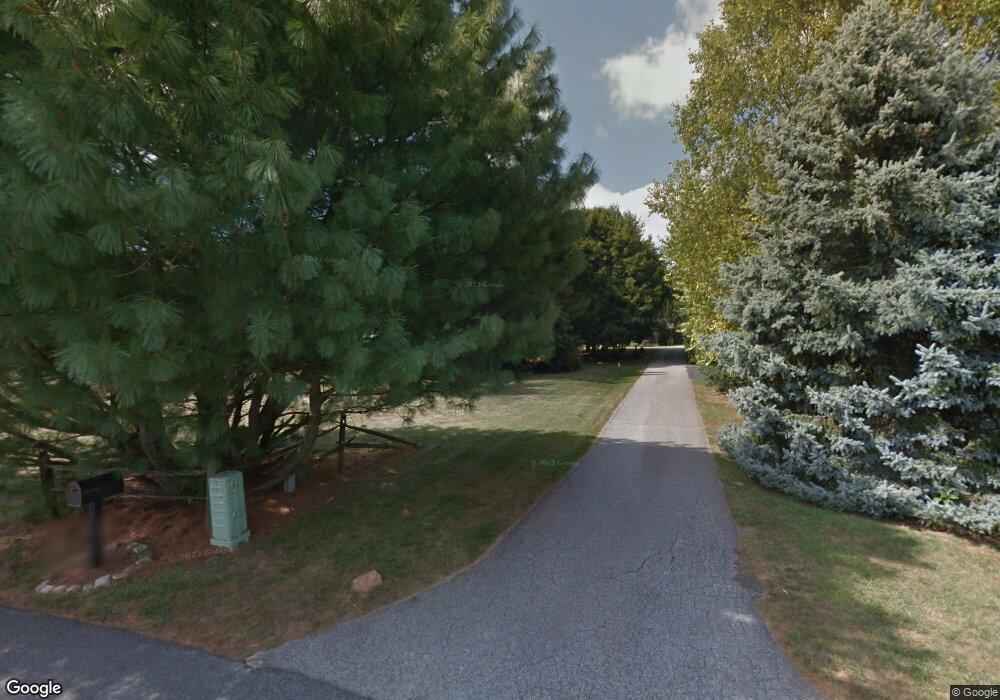
1104 Cedarbrook Rd Hampstead, MD 21074
Estimated Value: $432,000 - $554,000
5
Beds
2
Baths
1,508
Sq Ft
$320/Sq Ft
Est. Value
About This Home
This home is located at 1104 Cedarbrook Rd, Hampstead, MD 21074 and is currently estimated at $482,721, approximately $320 per square foot. 1104 Cedarbrook Rd is a home located in Carroll County with nearby schools including Spring Garden Elementary School, Shiloh Middle School, and Manchester Valley High School.
Ownership History
Date
Name
Owned For
Owner Type
Purchase Details
Closed on
Mar 26, 2025
Sold by
Cofiell Wayne Alan
Bought by
Cofiell Cynthia Ann
Current Estimated Value
Purchase Details
Closed on
Aug 26, 2014
Sold by
Cofiell Wayne and Shutt Elizabeth
Bought by
Cofiell Wayne
Purchase Details
Closed on
Jun 13, 2012
Sold by
Cofiell Wayne
Bought by
Cofiell Wayne and Schutt Elizabeth
Home Financials for this Owner
Home Financials are based on the most recent Mortgage that was taken out on this home.
Original Mortgage
$182,000
Interest Rate
3.78%
Mortgage Type
New Conventional
Purchase Details
Closed on
Apr 9, 2009
Sold by
Schwartz Edmund G
Bought by
Cofiell Wayne
Purchase Details
Closed on
Jun 29, 1984
Sold by
B J Builders Inc
Bought by
Schwartz Edmund G
Create a Home Valuation Report for This Property
The Home Valuation Report is an in-depth analysis detailing your home's value as well as a comparison with similar homes in the area
Home Values in the Area
Average Home Value in this Area
Purchase History
| Date | Buyer | Sale Price | Title Company |
|---|---|---|---|
| Cofiell Cynthia Ann | -- | None Listed On Document | |
| Cofiell Wayne | -- | None Available | |
| Cofiell Wayne | -- | Fidelity National Title | |
| Cofiell Wayne | $322,000 | -- | |
| Schwartz Edmund G | $64,900 | -- |
Source: Public Records
Mortgage History
| Date | Status | Borrower | Loan Amount |
|---|---|---|---|
| Previous Owner | Cofiell Wayne | $182,000 |
Source: Public Records
Tax History
| Year | Tax Paid | Tax Assessment Tax Assessment Total Assessment is a certain percentage of the fair market value that is determined by local assessors to be the total taxable value of land and additions on the property. | Land | Improvement |
|---|---|---|---|---|
| 2025 | $4,475 | $423,800 | $123,500 | $300,300 |
| 2024 | $4,255 | $395,100 | $0 | $0 |
| 2023 | $4,044 | $366,400 | $0 | $0 |
| 2022 | $3,842 | $337,700 | $123,500 | $214,200 |
| 2021 | $7,691 | $329,667 | $0 | $0 |
| 2020 | $3,662 | $321,633 | $0 | $0 |
| 2019 | $3,604 | $313,600 | $123,500 | $190,100 |
| 2018 | $3,419 | $299,967 | $0 | $0 |
| 2017 | $3,266 | $286,333 | $0 | $0 |
| 2016 | -- | $272,700 | $0 | $0 |
| 2015 | -- | $272,700 | $0 | $0 |
| 2014 | -- | $272,700 | $0 | $0 |
Source: Public Records
Map
Nearby Homes
- 1209 Woodland Ct
- 930 Gaming Square
- 1004 Scarlet Oak Ct Unit 1D
- 4470 Woodsman Dr Unit 731
- 4440 N Woods Trail
- 4318 Sycamore Dr
- 740 Spotters Ct
- 4290 N Woods Trail
- 4207 Ralph Ave
- 4240 Crystal Ct Unit 2A
- 4138 Hillcrest Ave
- 1030 S Main St
- 4210 Upper Beckleysville Rd
- 920 N Houcksville Rd
- 17823 Marshall Mill Rd
- TBD Sommerfield Dr
- TBD Sommerfield Dr Unit (5 ACRES)
- 4211 S Hunter Rd
- 0 Hanover Pike Unit MDCR2024542
- 1151 Caton Rd
- 1102 Cedarbrook Rd
- 4508 Black Rock Rd
- 4517 Lower Beckleysville Rd
- 4515 Lower Beckleysville Rd
- 1106 Cedarbrook Rd
- 1108 Cedarbrook Rd
- 4506 Black Rock Rd
- 4550 Legion Ln
- 4519 Lower Beckleysville Rd
- 4500 Black Rock Rd
- 1101 Cedarbrook Rd
- 4516 Lower Beckleysville Rd
- 4529 Lower Beckleysville Rd
- 4519 Black Rock Rd
- 1112 Cedarbrook Rd
- 4600 Legion Ln
- 1111 Cedarbrook Rd
- 4530 Black Rock Rd
- 1114 Cedarbrook Rd
- 1113 Cedarbrook Rd
Your Personal Tour Guide
Ask me questions while you tour the home.