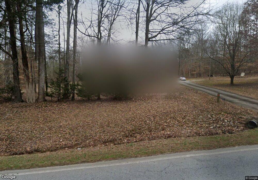
1104 Dial Mill Rd Oxford, GA 30054
Estimated Value: $355,000 - $413,000
3
Beds
2
Baths
1,964
Sq Ft
$196/Sq Ft
Est. Value
About This Home
This home is located at 1104 Dial Mill Rd, Oxford, GA 30054 and is currently estimated at $385,184, approximately $196 per square foot. 1104 Dial Mill Rd is a home located in Newton County with nearby schools including Flint Hill Elementary School, Cousins Middle School, and Newton High School.
Ownership History
Date
Name
Owned For
Owner Type
Purchase Details
Closed on
Feb 19, 2021
Sold by
Frank Louis Craig
Bought by
Thomas Michael
Current Estimated Value
Home Financials for this Owner
Home Financials are based on the most recent Mortgage that was taken out on this home.
Original Mortgage
$267,676
Outstanding Balance
$239,407
Interest Rate
2.7%
Mortgage Type
New Conventional
Estimated Equity
$145,777
Purchase Details
Closed on
Dec 20, 1996
Sold by
Gray Dianne
Bought by
Frank Louis Torri
Purchase Details
Closed on
Nov 11, 1994
Sold by
Tommy Rose Inc
Bought by
Gray Ralph
Home Financials for this Owner
Home Financials are based on the most recent Mortgage that was taken out on this home.
Original Mortgage
$126,850
Interest Rate
8.84%
Create a Home Valuation Report for This Property
The Home Valuation Report is an in-depth analysis detailing your home's value as well as a comparison with similar homes in the area
Home Values in the Area
Average Home Value in this Area
Purchase History
| Date | Buyer | Sale Price | Title Company |
|---|---|---|---|
| Thomas Michael | $265,000 | -- | |
| Frank Louis Torri | $132,900 | -- | |
| Gray Ralph | $133,600 | -- |
Source: Public Records
Mortgage History
| Date | Status | Borrower | Loan Amount |
|---|---|---|---|
| Open | Thomas Michael | $267,676 | |
| Previous Owner | Gray Ralph | $126,850 | |
| Closed | Frank Louis Torri | $0 |
Source: Public Records
Tax History Compared to Growth
Tax History
| Year | Tax Paid | Tax Assessment Tax Assessment Total Assessment is a certain percentage of the fair market value that is determined by local assessors to be the total taxable value of land and additions on the property. | Land | Improvement |
|---|---|---|---|---|
| 2024 | $3,370 | $136,880 | $25,000 | $111,880 |
| 2023 | $3,378 | $128,360 | $25,000 | $103,360 |
| 2022 | $2,620 | $96,560 | $17,000 | $79,560 |
| 2021 | $1,696 | $85,040 | $15,000 | $70,040 |
| 2020 | $1,105 | $62,080 | $12,000 | $50,080 |
| 2019 | $912 | $55,960 | $12,000 | $43,960 |
| 2018 | $327 | $48,280 | $12,000 | $36,280 |
| 2017 | $535 | $44,800 | $11,600 | $33,200 |
| 2016 | $586 | $46,280 | $9,400 | $36,880 |
| 2015 | $597 | $46,600 | $9,400 | $37,200 |
| 2014 | $533 | $46,600 | $0 | $0 |
Source: Public Records
Map
Nearby Homes
- 2528 Stream View Dr
- 0 Stream View Dr Unit LOT 19
- 40 Costleys Bridge Dr
- 0 Salem Church Rd NE Unit 10167606
- 3449 Highway 138 NE
- 0 Kent Rock Rd Unit Tract 3 CM1025514
- 0 Kent Rock Rd Unit 1025511
- 0 Kent Rock Rd Unit TRACT 3 10511414
- 0 Kent Rock Rd Unit 23453234
- 0 Kent Rock Rd Unit Tract 5 CM1025517
- 0 Kent Rock Rd Unit TRACT 5 10511440
- 0 Kent Rock Rd Unit 10511296
- 1830 Mount Zion Rd
- 2040 Costley Mill Rd NE
- Kent Rock Road Unit: Tract 3
- Kent Rock Road Unit: Tract 5
- 90 Kent Rock Rd
- 110 Kent Rock Rd
- 135 Little Haynes Dr
- 3295 Highway 138 NE
- 1134 Dial Mill Rd
- 1074 Dial Mill Rd
- 1095 Dial Mill Rd
- 0 Dial Mill Rd Unit 6886581
- 0 Dial Mill Rd Unit 8980648
- 0 Dial Mill Rd
- 54 Hightower Trail
- 50 W Forest Way
- 1046 Dial Mill Rd
- 40 Riverridge Trail
- 60 W Forest Way
- 15 W Forest Way
- W W Forest Way
- 100 Riverridge Trail
- 135 Riverridge Trail
- 35 W Forest Way
- 3910 Dial Mill Rd NE
- 3910 Dial Mill Rd NE
- 25 Towers Rd
- 65 W Forest Way