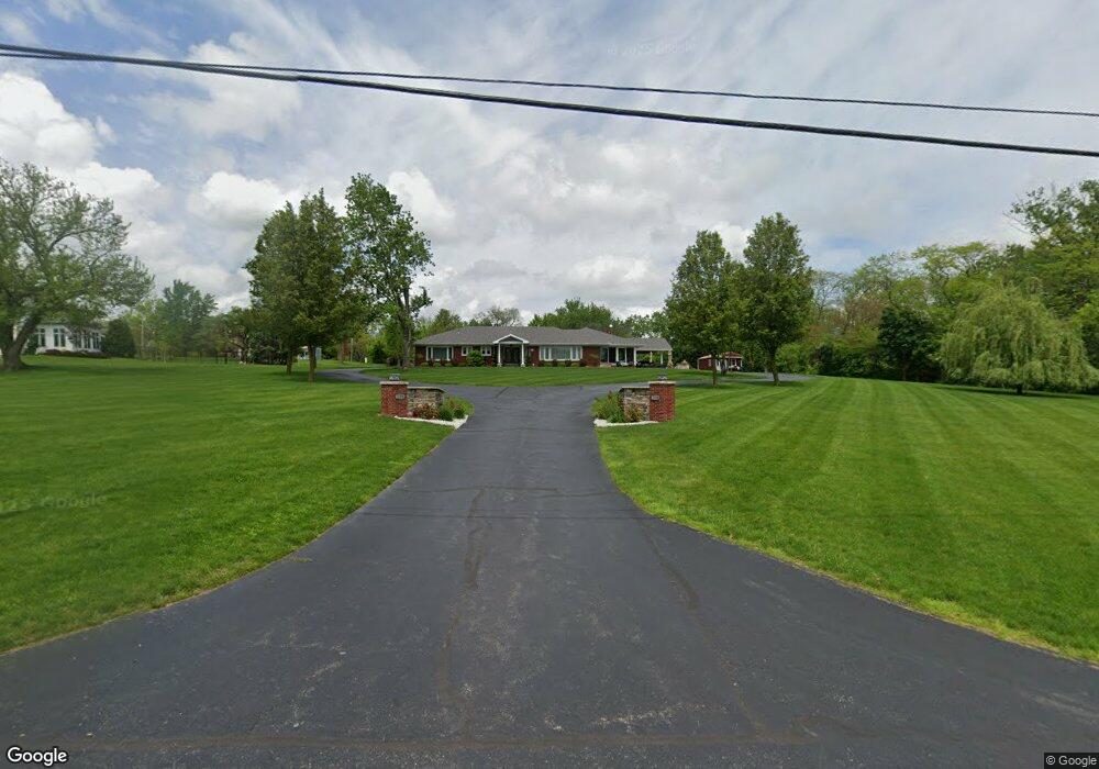
1104 E River Dr Defiance, OH 43512
Estimated Value: $403,000 - $435,798
2
Beds
3
Baths
3,011
Sq Ft
$139/Sq Ft
Est. Value
About This Home
This home is located at 1104 E River Dr, Defiance, OH 43512 and is currently estimated at $419,700, approximately $139 per square foot. 1104 E River Dr is a home located in Defiance County with nearby schools including Defiance Elementary School, Defiance Middle School, and Defiance High School.
Ownership History
Date
Name
Owned For
Owner Type
Purchase Details
Closed on
Sep 29, 2021
Sold by
Jaxson Enterprises Llc
Bought by
Weaner James K and Weaner Lisa L
Current Estimated Value
Purchase Details
Closed on
Apr 7, 2017
Sold by
Stone Michael A
Bought by
Jaxson Enterprises Ltd
Purchase Details
Closed on
Mar 23, 2005
Sold by
Stone Michale A and Stone Lorie R
Bought by
Stone Michel A and Michael A Sone Revocable Trust
Purchase Details
Closed on
Aug 10, 1999
Bought by
Stone Michael A Trustee
Create a Home Valuation Report for This Property
The Home Valuation Report is an in-depth analysis detailing your home's value as well as a comparison with similar homes in the area
Home Values in the Area
Average Home Value in this Area
Purchase History
| Date | Buyer | Sale Price | Title Company |
|---|---|---|---|
| Weaner James K | -- | None Available | |
| Jaxson Enterprises Ltd | $252,000 | None Available | |
| Stone Michel A | -- | None Available | |
| Stone Michael A Trustee | $300,000 | -- |
Source: Public Records
Tax History
| Year | Tax Paid | Tax Assessment Tax Assessment Total Assessment is a certain percentage of the fair market value that is determined by local assessors to be the total taxable value of land and additions on the property. | Land | Improvement |
|---|---|---|---|---|
| 2024 | $5,026 | $130,480 | $14,360 | $116,120 |
| 2023 | $4,567 | $130,480 | $14,360 | $116,120 |
| 2022 | $4,583 | $106,310 | $14,360 | $91,950 |
| 2021 | $4,583 | $106,310 | $14,360 | $91,950 |
| 2020 | $4,553 | $104,800 | $14,360 | $90,440 |
| 2019 | $4,220 | $95,020 | $14,380 | $80,640 |
| 2018 | $4,125 | $94,150 | $14,380 | $79,770 |
| 2017 | $1,956 | $94,150 | $14,378 | $79,772 |
| 2016 | $3,990 | $93,321 | $14,133 | $79,188 |
| 2015 | $1,919 | $93,132 | $14,133 | $78,999 |
| 2014 | $1,919 | $93,132 | $14,133 | $78,999 |
| 2013 | $1,919 | $93,132 | $14,133 | $78,999 |
| 2012 | $1,919 | $93,132 | $14,133 | $78,999 |
Source: Public Records
Map
Nearby Homes
- 00 Carpenter Rd
- 905 Corwin St
- 230 Adams St
- 512 Tiedeman Ave
- 262 Broadway Ave
- 1744 Lora Ln
- 649 Burning Tree Dr
- 655 Burning Tree Dr
- 214 Corwin St
- 673 Burning Tree Dr
- 1408 Heatherdowns Dr
- 0 Carpenter Rd Unit 10001359
- 0 Carpenter Rd Unit 309402
- 305 W 1st St
- 429 Summit St
- 1365 Heatherdowns Dr
- 623 Henry St
- 14631 Ohio 15
- 605 Riverside Ave
- 1459 Deerwood Dr
- 1062 E River Dr
- 205 Maywinn Dr
- 1108 E River Dr
- 212 Kettenring Dr
- 1020 E River Dr
- 208 Kettenring Dr
- 204 Kettenring Dr
- 216 Kettenring Dr
- 1016 E River Dr
- 220 Kettenring Dr
- 104 Carpenter Rd
- 205 Kettenring Dr
- 1114 E River Dr
- 213 Maywinn Dr
- 200 Maywinn Dr
- 1010 E River Dr
- 209 Kettenring Dr
- 200 Carpenter Rd
- 206 Maywinn Dr
- 224 Kettenring Dr
Your Personal Tour Guide
Ask me questions while you tour the home.